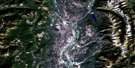
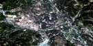
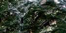
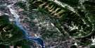
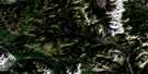
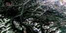
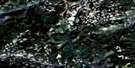
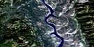
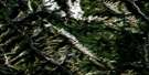
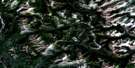
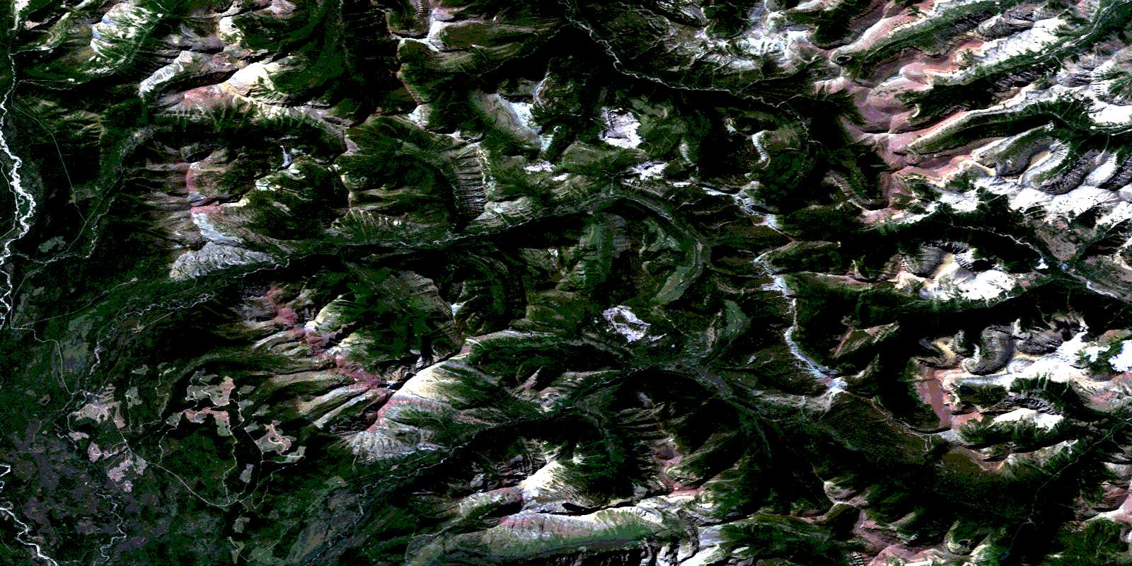
Sage Creek Satellite Image Map
Download Free Aerial Photo 082G01 at 1:50,000 scale
Sage Creek Satellite Imagery
To view this satellite map, mouse over the air photo on the right.
You can also download this satellite image map for free:
082G01 Sage Creek high-resolution satellite image map.
Maps for the Sage Creek aerial map sheet 082G01 at 1:50,000 scale are also available in these versions:
Sage Creek Surrounding Area Aerial Photo Maps
 |
 |
 |
 |
 |
 |
 |
 |
 |
 |
 |
 |
 |
 |
 |
 |
© Department of Natural Resources Canada. All rights reserved.
Sage Creek Gazetteer
The following places can be found on satellite image map 082G01 Sage Creek:
Sage Creek Satellite Image: Falls
Blakiston FallsSage Creek Satellite Image: Lakes
Akamina LakeAshman Lake
Bovin Lake
Cameron Lake
Forum Lake
Goat Lake
Grizzly Lake
Jake Smith Lake
Lineham Lakes
Little Cameron Lake
Lone Lake
Lost Lake
Lost Lake
Lower Rowe Lake
Lys Lake
North Scarpe Lake
Procter Lake
Rainy Lakes
Ruby Lake
Ruby Lake
South Scarpe Lake
Starvation Lake
Summit Lake
Thomson Lake
Twin Lakes
Upper Rowe Lake
Wall Lake
West Scarpe Lake
Sage Creek Satellite Image: Mountains
Akamina RidgeAnderson Peak
Avion Ridge
Border Ranges
Border Ranges
Buchanan Ridge
Cameron Mountain
Cameronian Mountain
Clark Range
Clark Range
Clarke Range
Cloudy Ridge
Commerce Peak
Festubert Mountain
Festubert Mountain
Flanders Mountain
Font Mountain
Font Mountain
Forum Peak
Forum Peak
Jutland Mountain
Kenow Mountain
King Edward Peak
Kishinena Mountains
Kishinena Peak
Kishinena Peak
Kishinena Ridge
La Coulotte Peak
La Coulotte Peak
La Coulotte Ridge
La Coulotte Ridge
Langemarck Mountain
Loaf Mountain
Lone Mountain
Lost Mountain
Lys Ridge
Miskwasini Peak
Montagnes Rocheuses
Montagnes Rocheuses
Mount Bauerman
Mount Blakiston
Mount Carthew
Mount Glendowan
Mount Hawkins
Mount Lineham
Mount Matkin
Mount Matkin
Mount Rowe
Mount Yarrell
Newman Peak
Pincher Ridge
Rainy Ridge
Rainy Ridge
Rocky Mountain Foothills
Rocky Mountains
Rocky Mountains
Ruby Ridge
Sage Mountain
Scarpe Mountain
Scarpe Mountain
Spionkop Ridge
Starvation Peak
Sunkist Mountain
Sunkist Ridge
Three Lakes Ridge
Three Lakes Ridge
Victoria Ridge
Windsor Ridge
Sage Creek Satellite Image: Major municipal/district area - major agglomerations
Municipal District of Pincher Creek No. 9Regional District of East Kootenay
Sage Creek Satellite Image: Other municipal/district area - miscellaneous
Improvement District No. 4Improvement District of Ranchland No. 6
Sage Creek Satellite Image: Conservation areas
Akamina-Kishinena ParkParc national du Canada des Lacs-Waterton
Waterton Lakes National Park of Canada
Waterton-Glacier International Peace Park
Sage Creek Satellite Image: Rivers
Akamina CreekBauerman Brook
Bauerman Creek
Beavertail Creek
Biscuitboard Creek
Blakiston Brook
Blakiston Creek
Calder Creek
Cameron Brook
Cameron Creek
Castle River
Commerce Creek
Drywood Creek
Elder Creek
Flanders Brook
Flathead River
Font Creek
Grizzly Creek
Haig Brook
Jutland Brook
Kishinena Creek
Langemarck Brook
Lineham Brook
Lineham Creek
Lone Brook
Lone Creek
Middlepass Creek
Mill Creek
Nettie Creek
North Kintla Creek
Ord Creek
Pass Creek (Blakiston Brook)
Per Creek
Red Rock Creek
Roche Creek
Rowe Brook
Rowe Creek
Ruby Creek
Ruby Creek
Sage Creek
Scarpe Creek
See Creek
South Drywood Creek
Spionkop Creek
Starvation Creek
Sunkist Brook
Wall Creek
Way Creek
West Castle River
Yarrow Creek
Zur Creek
Sage Creek Satellite Image: Unincorporated areas
FlatheadSage Creek Satellite Image: Valleys
Akamina PassAkamina Pass
Blue Grouse Basin
Flathead Basin
Grizzly Gulch
Red Rock Canyon
Sage Pass
Sage Pass
South Kootenay Pass
South Kootenay Pass
© Department of Natural Resources Canada. All rights reserved.
082G Related Maps:
082G Fernie082G01 Sage Creek
082G02 Inverted Ridge
082G03 Lake Koocanusa
082G04 Yahk River
082G05 Moyie Lake
082G06 Elko
082G07 Flathead Ridge
082G08 Beaver Mines
082G09 Blairmore
082G10 Crowsnest
082G11 Fernie
082G12 Cranbrook
082G13 Skookumchuck
082G14 Queen Creek
082G15 Tornado Mountain
082G16 Maycroft
