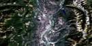
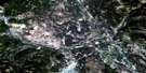
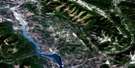
Lake Koocanusa Satellite Image Map
Download Free Aerial Photo 082G03 at 1:50,000 scale
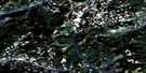
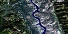
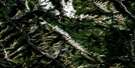
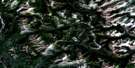
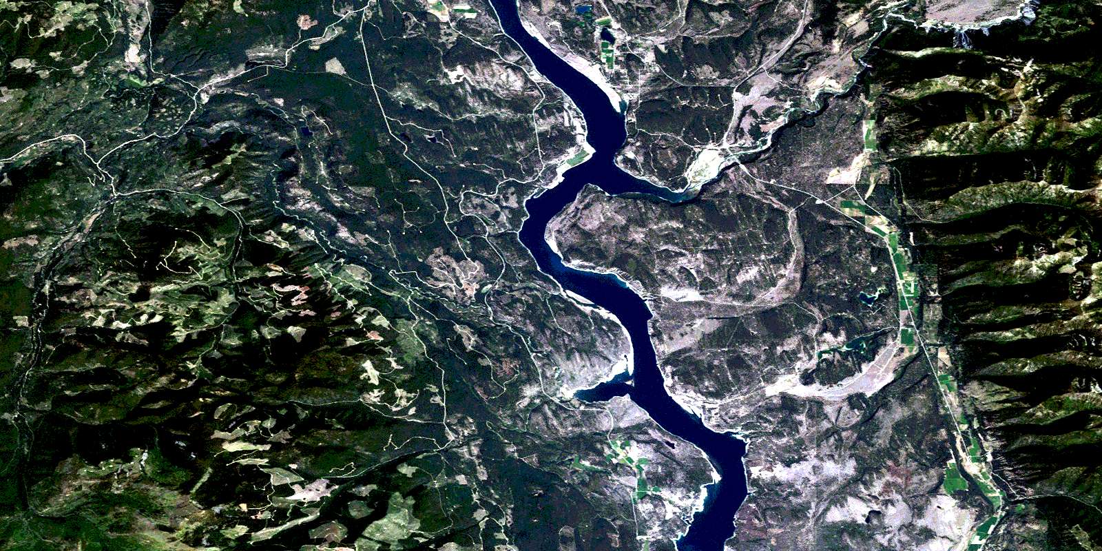
Lake Koocanusa Satellite Imagery
To view this satellite map, mouse over the air photo on the right.
You can also download this satellite image map for free:
082G03 Lake Koocanusa high-resolution satellite image map.
Maps for the Lake Koocanusa aerial map sheet 082G03 at 1:50,000 scale are also available in these versions:
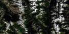
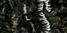
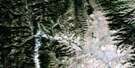
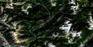
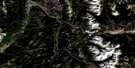
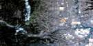
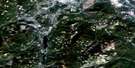
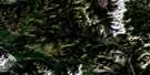
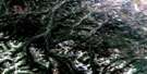
Lake Koocanusa Surrounding Area Aerial Photo Maps
 |
 |
 |
 |
 |
 |
 |
 |
 |
 |
 |
 |
 |
 |
 |
 |
© Department of Natural Resources Canada. All rights reserved.
Lake Koocanusa Gazetteer
The following places can be found on satellite image map 082G03 Lake Koocanusa:
Lake Koocanusa Satellite Image: Indian Reserves
Réserve indienne Tobacco Plains 2Tobacco Plains Indian Reserve 2
Lake Koocanusa Satellite Image: Islands
Lynn IslandLake Koocanusa Satellite Image: Lakes
Baynes LakeChain Lake
Edwards Lakes
Fussee Lake
Lake Koocanusa
Loon Lake
Shotnana Lake
Surveyors Lake
Twin Lake
Lake Koocanusa Satellite Image: Mountains
Border RangesColumbia Mountains
Galton Range
Gold Mountain
McGillivray Range
Montagnes Rocheuses
Mount Fitzpatrick
Plumbob Mountain
Purcell Mountains
Rocky Mountains
Sheep Mountain
Lake Koocanusa Satellite Image: Major municipal/district area - major agglomerations
Regional District of East KootenayLake Koocanusa Satellite Image: Conservation areas
Kikomun Creek ParkLake Koocanusa Satellite Image: Plains
Tobacco PlainsLake Koocanusa Satellite Image: Rivers
Bloom CreekBowman Creek
Caven Creek
Conner Creek
Donald Creek
Elk River
Englishman Creek
Flag Creek
Gold Creek
Kootenay River
Linklater Creek
Maguire Creek
Miller Creek
Phillipps Creek
Purcell Creek
Rainbow Creek
Raymond Creek
Red Canyon Creek
Reserve Creek
Scherf Creek
Sink Creek
Wigwam River
Willie Phillipps Creek
Lake Koocanusa Satellite Image: Unincorporated areas
Baynes LakeDorr
Flagstone
Flagstone (Grasmere Loc.)
Grasmere
Krag
Kragmont
Newgate
Roosville
Waldo
Lake Koocanusa Satellite Image: Valleys
Grasmere ValleyRocky Mountain Trench
© Department of Natural Resources Canada. All rights reserved.
082G Related Maps:
082G Fernie082G01 Sage Creek
082G02 Inverted Ridge
082G03 Lake Koocanusa
082G04 Yahk River
082G05 Moyie Lake
082G06 Elko
082G07 Flathead Ridge
082G08 Beaver Mines
082G09 Blairmore
082G10 Crowsnest
082G11 Fernie
082G12 Cranbrook
082G13 Skookumchuck
082G14 Queen Creek
082G15 Tornado Mountain
082G16 Maycroft
