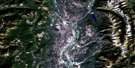
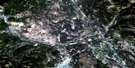
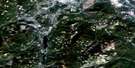
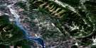
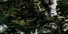
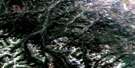
Elko Satellite Image Map
Download Free Aerial Photo 082G06 at 1:50,000 scale
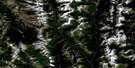
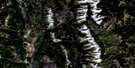
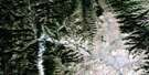
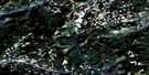
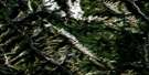
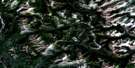
Elko Satellite Imagery
To view this satellite map, mouse over the air photo on the right.
You can also download this satellite image map for free:
082G06 Elko high-resolution satellite image map.
Maps for the Elko aerial map sheet 082G06 at 1:50,000 scale are also available in these versions:
Elko Surrounding Area Aerial Photo Maps
 |
 |
 |
 |
 |
 |
 |
 |
 |
 |
 |
 |
 |
 |
 |
 |
© Department of Natural Resources Canada. All rights reserved.
Elko Gazetteer
The following places can be found on satellite image map 082G06 Elko:
Elko Satellite Image: City
FernieElko Satellite Image: Lakes
Blue Bottom LakeBronze Lake
Darling Lake
Deer Lake
Douglas Lake
HahaLake
Lake Koocanusa
Lund Lake
Murray Lake
North Star Lake
Rosen Lake
Sand Lake
Silver Spring Lake
Suzanne Lake
Tie Lake
Wapiti Lake
Elko Satellite Image: Mountains
Border RangesColumbia Mountains
Lizard Range
McGillivray Range
Montagnes Rocheuses
Morrissey Ridge
Plumbob Mountain
Purcell Mountains
Rocky Mountains
Sheep Mountain
Elko Satellite Image: Major municipal/district area - major agglomerations
Regional District of East KootenayElko Satellite Image: Conservation areas
Elk River ParkElko Park
Kikomun Creek Park
Morrissey Park
Mount Fernie Park
Wardner Park
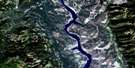
Elko Satellite Image: Rivers
Agnew CreekAhkuttock Creek
Brewery Creek
Bull River
Burntbridge Creek
Caithness Creek
Callagham Creek
Chipka Creek
Chlopan Creek
Coal Creek
Cokato Creek
Edith Creek
Elk River
Gold Creek
Haha Creek
Hislop Creek
Kikomun Creek
Kootenay River
Liphardt Creek
Little Bull Creek
Little Sand Creek
Lizard Creek
Mack Creek
McDermid Creek
Morrissey Creek
Norbury Creek
Pennock Creek
Plumbob Creek
Rocky Creek
Sand Creek
Supply Creek
Suzanne Creek
Swamp Creek
Tepee Creek
Tunnel Creek
Whimster Creek
Wigwam River
Elko Satellite Image: Unincorporated areas
Big Sand CreekBull River
Caithness
Cokato
Colvalli
Courier
Elko
Galloway
Hanbury
Jaffray
Jukeson
Morrissey
Tokay
Wardner
Elko Satellite Image: Valleys
Rocky Mountain Trench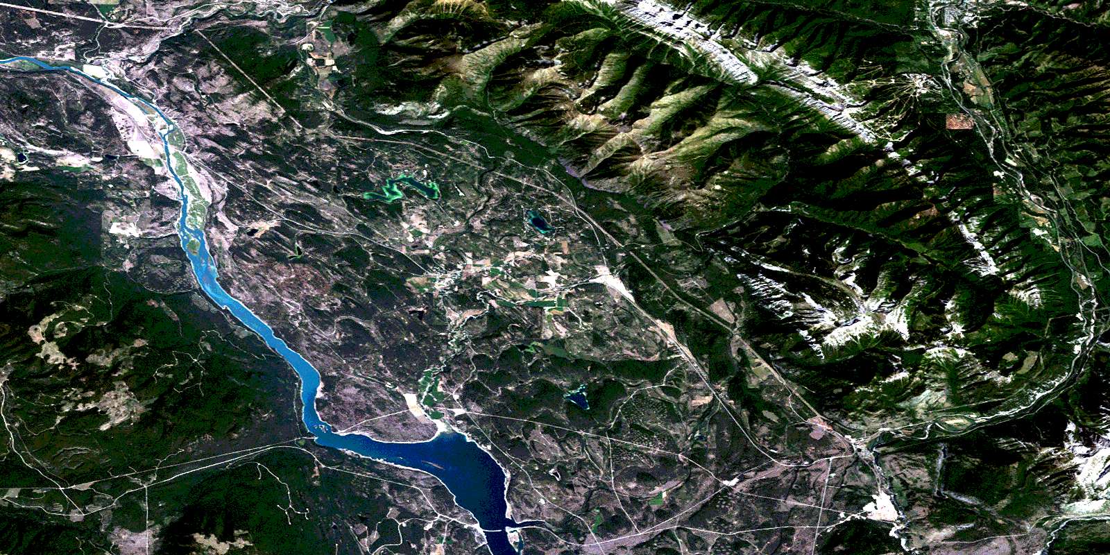
© Department of Natural Resources Canada. All rights reserved.
082G Related Maps:
082G Fernie082G01 Sage Creek
082G02 Inverted Ridge
082G03 Lake Koocanusa
082G04 Yahk River
082G05 Moyie Lake
082G06 Elko
082G07 Flathead Ridge
082G08 Beaver Mines
082G09 Blairmore
082G10 Crowsnest
082G11 Fernie
082G12 Cranbrook
082G13 Skookumchuck
082G14 Queen Creek
082G15 Tornado Mountain
082G16 Maycroft
