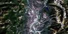
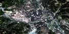
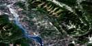
Fernie Satellite Image Map
Download Free Aerial Photo 082G11 at 1:50,000 scale
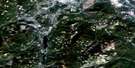
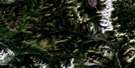
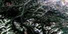
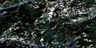
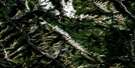
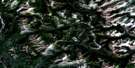
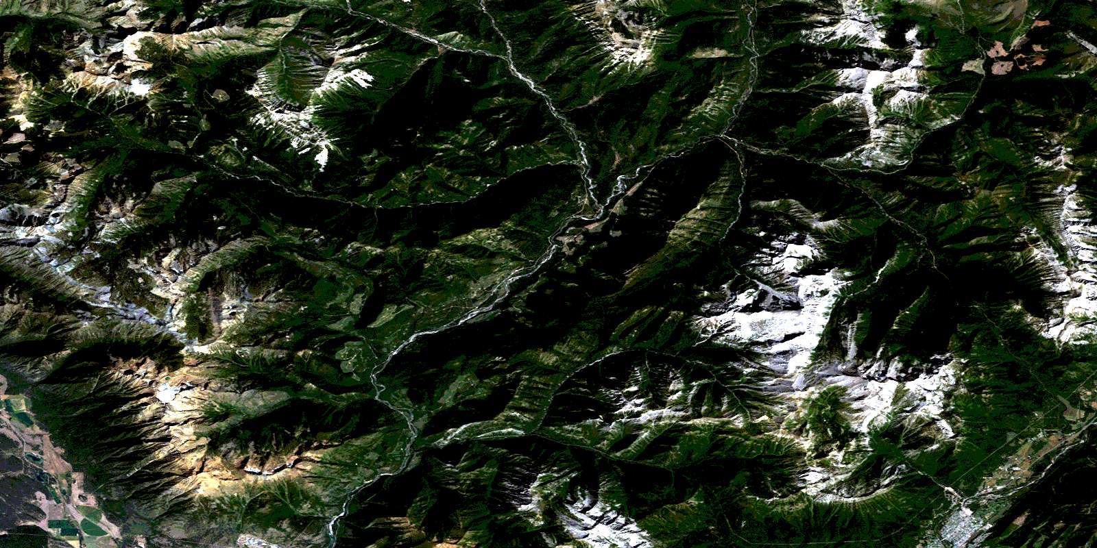
Fernie Satellite Imagery
To view this satellite map, mouse over the air photo on the right.
You can also download this satellite image map for free:
082G11 Fernie high-resolution satellite image map.
Maps for the Fernie aerial map sheet 082G11 at 1:50,000 scale are also available in these versions:
Fernie Surrounding Area Aerial Photo Maps
 |
 |
 |
 |
 |
 |
 |
 |
 |
 |
 |
 |
 |
 |
 |
 |
© Department of Natural Resources Canada. All rights reserved.
Fernie Gazetteer
The following places can be found on satellite image map 082G11 Fernie:
Fernie Satellite Image: City
FernieFernie Satellite Image: Lakes
Alkaline LakeCliff Lake
Hartley Lake
Island Lake
Nicol Lake
Norbury Lake
Norbury Lakes
Peckhams Lake
Fernie Satellite Image: Mountains
Bull MountainGoat Haven Peak
Hughes Range
Hungary Peak
Kootenay Ranges
Lizard Range
Montagnes Rocheuses
Mount Bisaro
Mount Fernie
Mount Fisher
Mount Haley
Mount Hosmer
Mount Klauer
Mount Lum
Mount Patmore
Mount Procter
Mount Sneath
Rocky Mountains
The Steeples
The Steeples Mountains
Three Sisters
Fernie Satellite Image: Major municipal/district area - major agglomerations
Regional District of East KootenayFernie Satellite Image: Conservation areas
Elk River ParkNorbury Lake Park
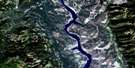
Fernie Satellite Image: Rivers
Baldrey CreekBarrier Creek
Bean Creek
Boulder Creek
Bull River
Burntbridge Creek
Clay Creek
Crowe Creek
Dibble Creek
Dock Creek
Donely Creek
Dooley Creek
Duncan Creek
East Iron Creek
East Sulphur Creek
East Wild Horse River
Elk River
Ervine Creek
Fairy Creek
Galbraith Creek
Green Creek
Hartley Creek
Hearne Creek
Highway Creek
Horseshoe Creek
Hospital Creek
Iron Creek
Labelle Creek
Lime Creek
Little Bull Creek
Lizard Creek
Lum Creek
Mause Creek
Murdoch Creek
Mutz Creek
Norbury Creek
North Galbraith Creek
Oliva Creek
Olivia Creek
Outlook Creek
Oveson Creek
Sulphur Creek
Summer Creek
Sunken Creek
Tanglefoot Creek
Van Creek
Wallinger Creek
Fernie Satellite Image: Valleys
Hartley PassRocky Mountain Trench
© Department of Natural Resources Canada. All rights reserved.
082G Related Maps:
082G Fernie082G01 Sage Creek
082G02 Inverted Ridge
082G03 Lake Koocanusa
082G04 Yahk River
082G05 Moyie Lake
082G06 Elko
082G07 Flathead Ridge
082G08 Beaver Mines
082G09 Blairmore
082G10 Crowsnest
082G11 Fernie
082G12 Cranbrook
082G13 Skookumchuck
082G14 Queen Creek
082G15 Tornado Mountain
082G16 Maycroft
