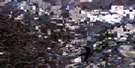
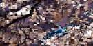
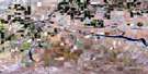
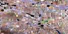
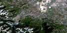
Cardston Satellite Image Map
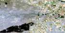
Download Free Aerial Photo 082H03 at 1:50,000 scale
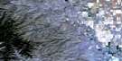
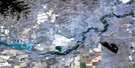
Cardston Satellite Imagery
To view this satellite map, mouse over the air photo on the right.
You can also download this satellite image map for free:
082H03 Cardston high-resolution satellite image map.
Maps for the Cardston aerial map sheet 082H03 at 1:50,000 scale are also available in these versions:
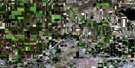
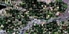
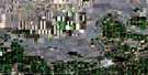
Cardston Surrounding Area Aerial Photo Maps
 |
 |
 |
 |
 |
 |
 |
 |
 |
 |
 |
 |
 |
 |
 |
 |
© Department of Natural Resources Canada. All rights reserved.
Cardston Gazetteer
The following places can be found on satellite image map 082H03 Cardston:
Cardston Satellite Image: Lakes
Curtis LakeFurman Lake
Mary Lake
Outpost Lake
Pilling Lake
Rush Lake
Cardston Satellite Image: Mountains
Beazer RidgeBreast Work Hill
Lumpy Butte
Ockey Ridge
Piney Ridge
Rocky Mountain Foothills
Cardston Satellite Image: Major municipal/district area - major agglomerations
Cardston CountyMunicipal District of Cardston No. 6
Cardston Satellite Image: Conservation areas
Police Outpost Provincial ParkWoolford Provincial Park
Cardston Satellite Image: Rivers
Aetna CreekBoundary Creek
Layton Creek
Lee Creek
Pinepound Creek
Rolph Creek
St. Mary River
Cardston Satellite Image: Towns
CardstonCardston Satellite Image: Unincorporated areas
AetnaBeazer
Boundary Creek
Carway
Fareham
Jefferson
Kimball
Leavitt
Ninastoko
Northcliffe
Owendale
Taylorville
Whiskey Gap
Woolford
Cardston Satellite Image: Valleys
Bullhorn CouleeCoal Canyon
Coal Mine Coulee
Immigration Gap
Reeder Coulée
Wynder Coulée
Cardston Satellite Image: Low vegetation
Vaughn Meadows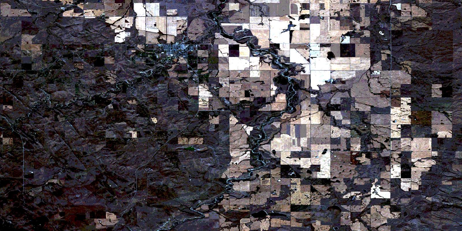
© Department of Natural Resources Canada. All rights reserved.
