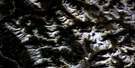
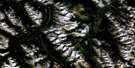
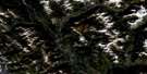
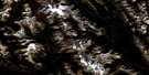
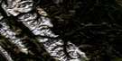
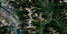
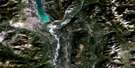
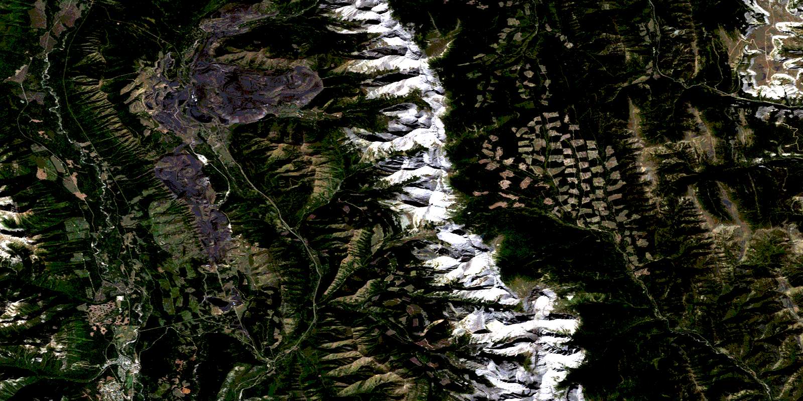
Fording River Satellite Image Map
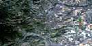
Download Free Aerial Photo 082J02 at 1:50,000 scale
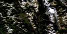
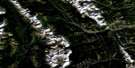
Fording River Satellite Imagery
To view this satellite map, mouse over the air photo on the right.
You can also download this satellite image map for free:
082J02 Fording River high-resolution satellite image map.
Maps for the Fording River aerial map sheet 082J02 at 1:50,000 scale are also available in these versions:
Fording River Surrounding Area Aerial Photo Maps
 |
 |
 |
 |
 |
 |
 |
 |
 |
 |
 |
 |
 |
 |
 |
 |
© Department of Natural Resources Canada. All rights reserved.
Fording River Gazetteer
The following places can be found on satellite image map 082J02 Fording River:
Fording River Satellite Image: District municipality
ElkfordFording River Satellite Image: Mountains
Beehive MountainBeehive Mountain
Cabin Ridge
Cyclamen Ridge
Greenhills Range
Grizzly Peak
High Rock Range
High Rock Range
Montagnes Rocheuses
Montagnes Rocheuses
Mount Farquhar
Mount Farquhar
Mount Gass
Mount Gass
Mount Holcroft
Mount Holcroft
Mount Lyall
Mount Lyall
Mount O'Rourke
Mount Pierce
Mount Scrimger
Mount Scrimger
Mount Turnbull
Pasque Mountain
Plateau Mountain
Rocky Mountains
Rocky Mountains
Twin Peaks
Wapiti Mountain
Fording River Satellite Image: Major municipal/district area - major agglomerations
Municipal District of Ranchland No. 66Regional District of East Kootenay
Fording River Satellite Image: Other municipal/district area - miscellaneous
Improvement District No. 5Improvement District of Ranchland No. 6
Kananaskis Improvement District
Fording River Satellite Image: Recreational sites
Wapiti Ski HillFording River Satellite Image: Rivers
Aldridge CreekBeehive Creek
Bingay Creek
Boivin Creek
Britt Creek
Brownie Creek
Cache Creek
Cataract Creek
Chauncey Creek
Clode Creek
Crossing Creek
Cummings Creek
Dry Creek
Elk River
Ewin Creek
Fording River
Forsyth Creek
Greenhills Creek
Henretta Creek
Honeymoon Creek
Hornickel Creek
Kilmarnock Creek
Line Creek
Lost Creek
Lowe Creek
Lyall Creek
McQuarrie Creek
Moore Creek
Oldman River
Oyster Creek
Pasque Creek
Plateau Creek
Savanna Creek
Shandley Creek
Slacker Creek
Smith Creek
Soda Creek
Speers Creek
Straight Creek
Swift Creek
Todhunter Creek
Wilkinson Creek
Fording River Satellite Image: Unincorporated areas
ClodeFording
Greenhills
Harmer
Round Prairie
Fording River Satellite Image: Valleys
Beehive PassBeehive Pass
Ewin Pass
© Department of Natural Resources Canada. All rights reserved.
082J Related Maps:
082J Kananaskis Lakes082J01 Langford Creek
082J02 Fording River
082J03 Mount Peck
082J04 Canal Flats
082J05 Fairmont Hot Springs
082J06 Mount Abruzzi
082J07 Mount Head
082J08 Stimson Creek
082J09 Turner Valley
082J10 Mount Rae
082J11 Kananaskis Lakes
082J12 Tangle Peak
082J13 Mount Assiniboine
082J14 Spray Lakes Reservoir
082J15 Bragg Creek
082J16 Priddis
