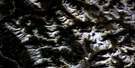
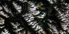
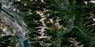
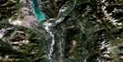
Canal Flats Satellite Image Map
Download Free Aerial Photo 082J04 at 1:50,000 scale
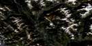
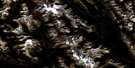
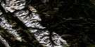
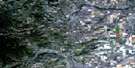
Canal Flats Satellite Imagery
To view this satellite map, mouse over the air photo on the right.
You can also download this satellite image map for free:
082J04 Canal Flats high-resolution satellite image map.
Maps for the Canal Flats aerial map sheet 082J04 at 1:50,000 scale are also available in these versions:
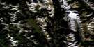
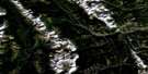
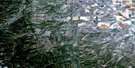
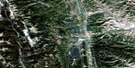
Canal Flats Surrounding Area Aerial Photo Maps
 |
 |
 |
 |
 |
 |
 |
 |
 |
 |
 |
 |
 |
 |
 |
 |
© Department of Natural Resources Canada. All rights reserved.
Canal Flats Gazetteer
The following places can be found on satellite image map 082J04 Canal Flats:
Canal Flats Satellite Image: Lakes
Alces LakeColumbia Lake
Copper Lake
Larsen Lake
Moose Lake
Ptarmigan Lake
Sun Lake
Whiteswan Lake
Canal Flats Satellite Image: Mountains
Columbia MountainsEdwards Peak
Hughes Range
Kootenay Ranges
McLean Peak
Montagnes Rocheuses
Mount De Smet
Mount Glen
Mount Glenn
Mount Grainger
Mount Sabine
Purcell Mountains
Rocky Mountains
Shark Tooth Mountain
Sharp Tooth Mountain
White Knight Peak
Canal Flats Satellite Image: Major municipal/district area - major agglomerations
Regional District of East KootenayCanal Flats Satellite Image: Conservation areas
Canal Flats ParkThunder Hill Park
Thunderhill Park
Canal Flats Satellite Image: Rivers
Allen CreekCave Creek
Copper Creek
Coyote Creek
Deer Creek
Emily Creek
Fawn Creek
Findlay Creek
Hardie Creek
Kootenay River
Lavington Creek
Lussier River
Marion Creek
Marmalade Creek
Moscow Creek
Mud Creek
Mutton Creek
Nine Mile Creek
Ram Creek
Roam Creek
Sandown Creek
Spencer Creek
Sun Creek
Whitetail Brook
Canal Flats Satellite Image: Springs
Lussier Hot SpringsRam Creek Hot Springs
Canal Flats Satellite Image: Unincorporated areas
Columbia LakeCopper Creek
Canal Flats Satellite Image: Valleys
Rocky Mountain TrenchCanal Flats Satellite Image: Villages
Canal Flats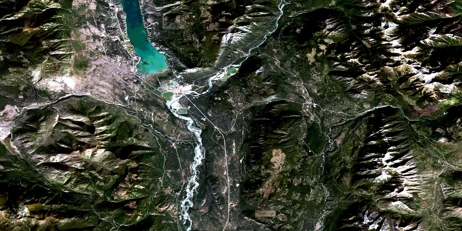
© Department of Natural Resources Canada. All rights reserved.
082J Related Maps:
082J Kananaskis Lakes082J01 Langford Creek
082J02 Fording River
082J03 Mount Peck
082J04 Canal Flats
082J05 Fairmont Hot Springs
082J06 Mount Abruzzi
082J07 Mount Head
082J08 Stimson Creek
082J09 Turner Valley
082J10 Mount Rae
082J11 Kananaskis Lakes
082J12 Tangle Peak
082J13 Mount Assiniboine
082J14 Spray Lakes Reservoir
082J15 Bragg Creek
082J16 Priddis
