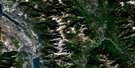
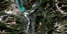
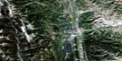
Turner Valley Satellite Image Map
Download Free Aerial Photo 082J09 at 1:50,000 scale
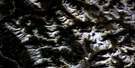
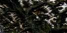
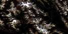
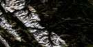
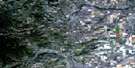
Turner Valley Satellite Imagery
To view this satellite map, mouse over the air photo on the right.
You can also download this satellite image map for free:
082J09 Turner Valley high-resolution satellite image map.
Maps for the Turner Valley aerial map sheet 082J09 at 1:50,000 scale are also available in these versions:
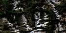
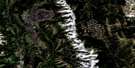
Turner Valley Surrounding Area Aerial Photo Maps
 |
 |
 |
 |
 |
 |
 |
 |
 |
 |
 |
 |
 |
 |
 |
 |
© Department of Natural Resources Canada. All rights reserved.
Turner Valley Gazetteer
The following places can be found on satellite image map 082J09 Turner Valley:
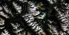
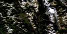
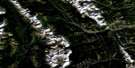
Turner Valley Satellite Image: Mountains
Big RockBlue Ridge
Channel Ridge
Jim Ridge
John Ware Ridge
Kew Ridge
Longview Hill
Nigger John Ridge
Okotoks Mountain
Rocky Mountain Foothills
Sam Ridge
Whisky Ridge
Turner Valley Satellite Image: Major municipal/district area - major agglomerations
Municipal District of Foothills No. 31Turner Valley Satellite Image: Other municipal/district area - miscellaneous
Improvement District No. 5Kananaskis Improvement District
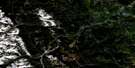
Turner Valley Satellite Image: Rivers
Bull CreekBull Creek
Coal Creek
Heel Creek
Highwood River
Ings Creek
Jim Creek
Lineham Creek
Long Prairie Creek
Macabee Creek
Mudsprings Creek
North Sullivan Creek
Sheep River
South Sullivan Creek
Spring Creek
Sullivan Creek
Threepoint Creek
Ware Creek
Wolf Creek
Turner Valley Satellite Image: River features
Sam Howe CrossingTurner Valley Satellite Image: Towns
Black DiamondTurner Valley
Turner Valley Satellite Image: Unincorporated areas
HartellKew
Royalties
Turner Valley Satellite Image: Valleys
Coal CouleeMacabee Gap
Turner Valley
Waite Valley
Wilson Coulee
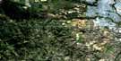
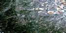
Turner Valley Satellite Image: Low vegetation
Sam Howe FlatsTurner Valley Satellite Image: Villages
Longview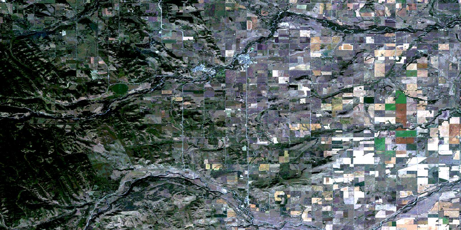
© Department of Natural Resources Canada. All rights reserved.
082J Related Maps:
082J Kananaskis Lakes082J01 Langford Creek
082J02 Fording River
082J03 Mount Peck
082J04 Canal Flats
082J05 Fairmont Hot Springs
082J06 Mount Abruzzi
082J07 Mount Head
082J08 Stimson Creek
082J09 Turner Valley
082J10 Mount Rae
082J11 Kananaskis Lakes
082J12 Tangle Peak
082J13 Mount Assiniboine
082J14 Spray Lakes Reservoir
082J15 Bragg Creek
082J16 Priddis
