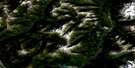
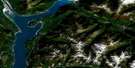
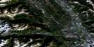
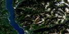
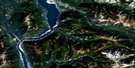
St Leon Creek Satellite Image Map
Download Free Aerial Photo 082K05 at 1:50,000 scale
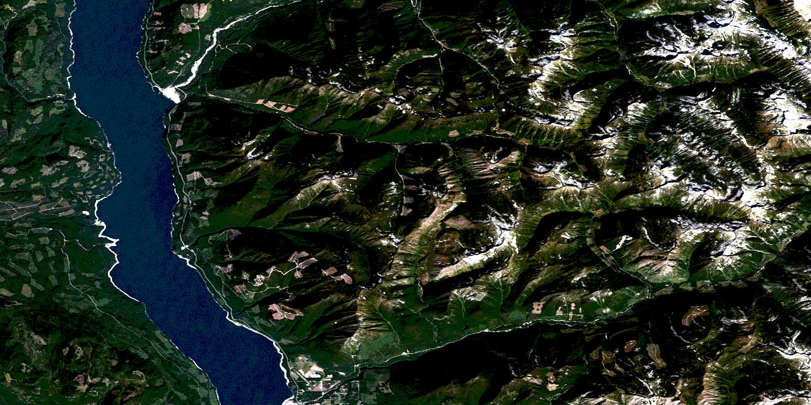
St Leon Creek Satellite Imagery
To view this satellite map, mouse over the air photo on the right.
You can also download this satellite image map for free:
082K05 St Leon Creek high-resolution satellite image map.
Maps for the St Leon Creek aerial map sheet 082K05 at 1:50,000 scale are also available in these versions:
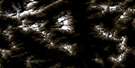
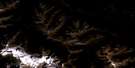
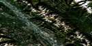
St Leon Creek Surrounding Area Aerial Photo Maps
 |
 |
 |
 |
 |
 |
 |
 |
 |
 |
 |
 |
 |
 |
 |
 |
© Department of Natural Resources Canada. All rights reserved.
St Leon Creek Gazetteer
The following places can be found on satellite image map 082K05 St Leon Creek:
St Leon Creek Satellite Image: Bays
Farm BayFosthall Bay
Telegraph Bay
St Leon Creek Satellite Image: Capes
Ann PointCape Horn
Fosthall Point
St Leon Creek Satellite Image: Falls
Ione FallsSt Leon Creek Satellite Image: Lakes
Cameron LakeCatherine Lake
Grady Lake
Hamling Lakes
Kimbol Lake
Upper Arrow Lake
St Leon Creek Satellite Image: Mountains
Columbia MountainsGoat Range
Kuskanax Mountain
Lardeau Range
Monashee Mountains
Mount Abriel
Mount Benton
Mount Herridge
Mount Hohenleitner
Mount Islip
Mount Jordan
Mount Leary
Mount Sanderson
Mount Shelling
Mount St. Leon
Mount Steenhoff
Selkirk Mountains
St Leon Creek Satellite Image: Major municipal/district area - major agglomerations
Regional District of Central KootenaySt Leon Creek Satellite Image: Conservation areas
Nakusp Hot Springs ParkSt Leon Creek Satellite Image: Rivers
Adams CreekBrouse Creek
Cape Horn Creek
Coates Creek
Columbia River
Dunn Creek
Fitzstubbs Creek
Fleuve Columbia
Fosthall Creek
Gardner Creek
Halfway Creek
Halfway River
Hamling Creek
Henry Creek
Ione Creek
Kelly Creek
Kiln Creek
Kimbol Creek
Kuskanax Creek
Ledge Creek
Lone Creek
MacLeod Creek
Mobbs Creek
Moon Creek
Pingston Creek
Raven Creek
Sob Creek
St. Leon Creek
Sunshine Creek
Trout Creek
Turnbull Creek
Turner Creek
Vanstone Creek
Wensley Creek
Wood Creek
St Leon Creek Satellite Image: Springs
Nakusp Hot SpringsSt. Leon Hot Springs
St Leon Creek Satellite Image: Unincorporated areas
FosthallGlenbank
Leon
Pingston
Shoreholme
St. Leon
© Department of Natural Resources Canada. All rights reserved.
082K Related Maps:
082K Lardeau082K01 Findlay Creek
082K02 Lardeau
082K03 Rosebery
082K04 Nakusp
082K05 St Leon Creek
082K06 Poplar Creek
082K07 Duncan Lake
082K08 Toby Creek
082K09 Radium Hot Springs
082K10 Howser Creek
082K11 Trout Lake
082K12 Beaton
082K13 Camborne
082K14 Westfall River
082K15 Bugaboo Creek
082K16 Spillimacheen
