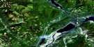
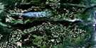
Mount Fosthall Satellite Image Map
Download Free Aerial Photo 082L08 at 1:50,000 scale
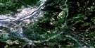
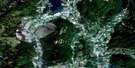
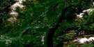
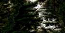
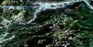
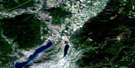
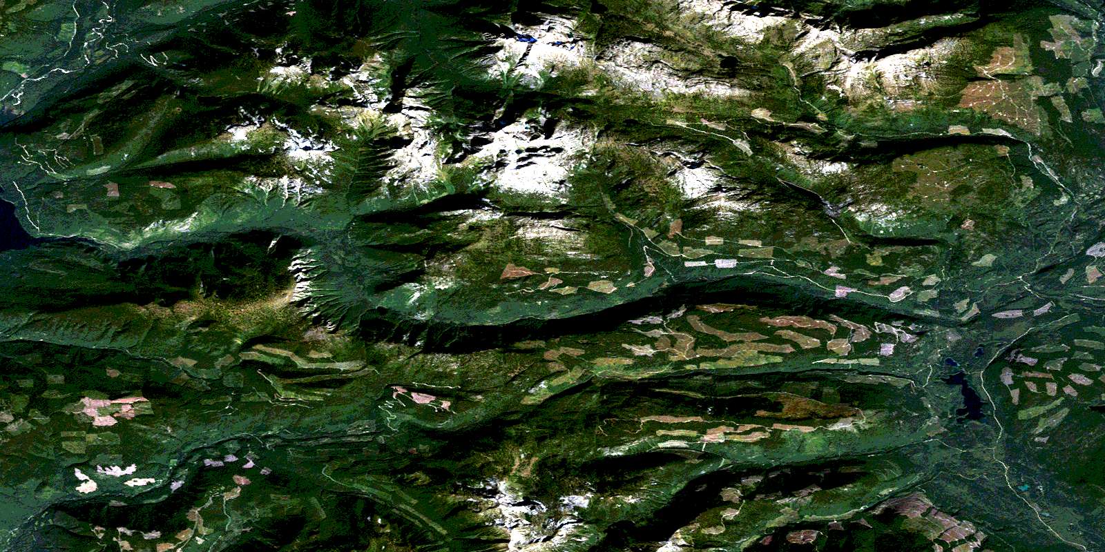
Mount Fosthall Satellite Imagery
To view this satellite map, mouse over the air photo on the right.
You can also download this satellite image map for free:
082L08 Mount Fosthall high-resolution satellite image map.
Maps for the Mount Fosthall aerial map sheet 082L08 at 1:50,000 scale are also available in these versions:
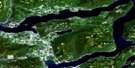
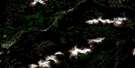
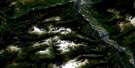
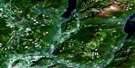
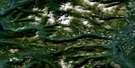
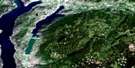
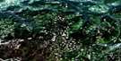
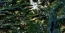
Mount Fosthall Surrounding Area Aerial Photo Maps
 |
 |
 |
 |
 |
 |
 |
 |
 |
 |
 |
 |
 |
 |
 |
 |
© Department of Natural Resources Canada. All rights reserved.
Mount Fosthall Gazetteer
The following places can be found on satellite image map 082L08 Mount Fosthall:
Mount Fosthall Satellite Image: Falls
Rainbow FallsMount Fosthall Satellite Image: Lakes
Arrow Park LakeBill Fraser Lake
Cameron Lake
Cirque Lake
Empress Lake
Iron Lake
Kate Lake
Larson Lake
Little Arrow Park Lake
Little Mosquito Lake
Margie Lake
Mosquito Lake
Paint Lake
Pete Lake
Peters Lake
Polly Lake
Rottacker Lake
Sitkum Lake
Sugar Lake
Twin Peaks Lake
Mount Fosthall Satellite Image: Mountains
Cherry RidgeColumbia Mountains
Goat Mountain
Gold Range
Monashee Mountains
Mount Baldur
Mount Fosthall
Mount Symonds
Mount Symons
Shuswap Highland
Sugar Mountain
Symonds Mountain
Vidler Ridge
Whatshan Range
Mount Fosthall Satellite Image: Major municipal/district area - major agglomerations
Regional District of Central KootenayMount Fosthall Satellite Image: Conservation areas
Monashee ParkMount Fosthall Satellite Image: Plains
Sitkum PlateauMount Fosthall Satellite Image: Rivers
Arrow Park (Mosquito) CreekArrowpark Creek
Bill Fraser Creek
Cherry Creek
Currie Creek
Cusson Creek
Fosthall Creek
Kate Creek
Kealy Creek
Ledge Creek
Margie Creek
Mosquito Creek
Outlet Creek
Pingston Creek
Plant Creek
Rainbow Creek
Rioulx Creek
Severide Creek
Shuswap River
Sitkum Creek
South Fosthall Creek
Spectrum Creek
Sugar Creek
Sunshine Creek
Trout Creek
Vanstone Creek
Mount Fosthall Satellite Image: Valleys
Pillar PassSouth Caribou Pass
© Department of Natural Resources Canada. All rights reserved.
082L Related Maps:
082L Vernon082L01 Eureka Mountain
082L02 Creighton Creek
082L03 Oyama
082L04 Shorts Creek
082L05 Westwold
082L06 Vernon
082L07 Shuswap Falls
082L08 Mount Fosthall
082L09 Gates Creek
082L10 Mabel Lake
082L11 Salmon Arm
082L12 Monte Creek
082L13 Chase
082L14 Sorrento
082L15 Malakwa
082L16 Revelstoke
