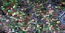
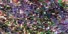
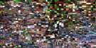
Craigmyle Satellite Image Map
Download Free Aerial Photo 082P09 at 1:50,000 scale
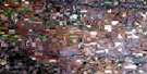
Craigmyle Satellite Imagery
To view this satellite map, mouse over the air photo on the right.
You can also download this satellite image map for free:
082P09 Craigmyle high-resolution satellite image map.
Maps for the Craigmyle aerial map sheet 082P09 at 1:50,000 scale are also available in these versions:
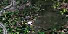
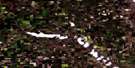
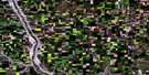
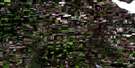
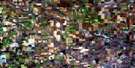
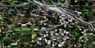
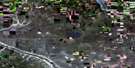
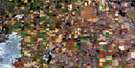
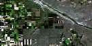
Craigmyle Surrounding Area Aerial Photo Maps
 |
 |
 |
 |
 |
 |
 |
 |
 |
 |
 |
 |
 |
 |
 |
 |
© Department of Natural Resources Canada. All rights reserved.
Craigmyle Gazetteer
The following places can be found on satellite image map 082P09 Craigmyle:
Craigmyle Satellite Image: Lakes
Dowling LakeFox Lake
Handhills Lake
St. Louis Lakes
Craigmyle Satellite Image: Mountains
Hand HillsMother Mountain
Surprise Hill
Craigmyle Satellite Image: Major municipal/district area - major agglomerations
Municipal District of Starland No. 47Starland County
Craigmyle Satellite Image: Other municipal/district area - miscellaneous
Special Area No. 2Craigmyle Satellite Image: Rivers
Bullpound CreekFish Creek
Handhills Creek
Wolf Creek
Craigmyle Satellite Image: Unincorporated areas
CraigmyleWatts
Craigmyle Satellite Image: Valleys
Cut-Off CouleeCraigmyle Satellite Image: Villages
Delia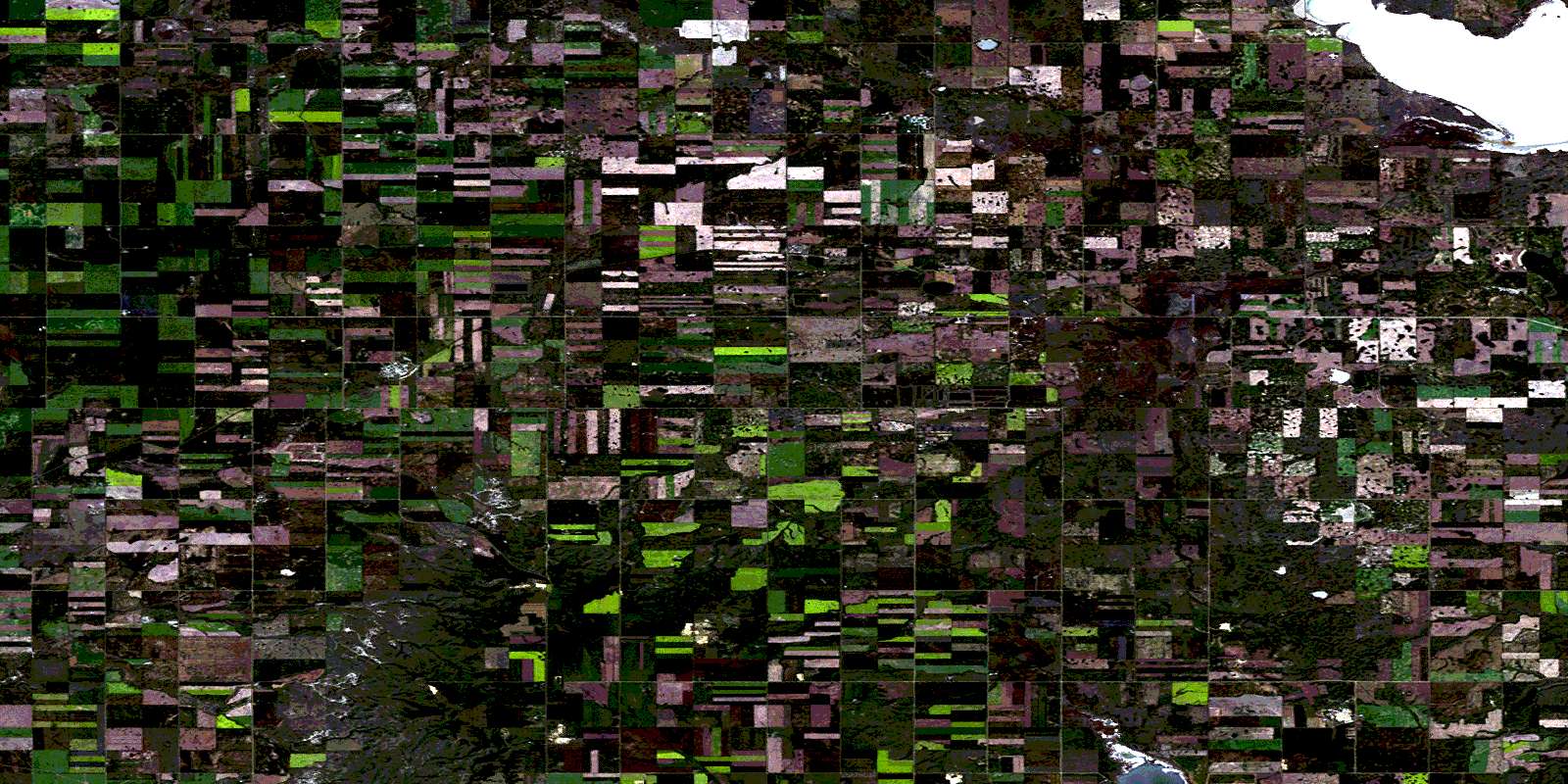
© Department of Natural Resources Canada. All rights reserved.
