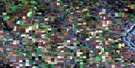
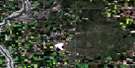
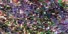
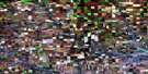
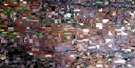
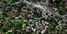
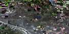
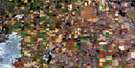
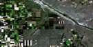
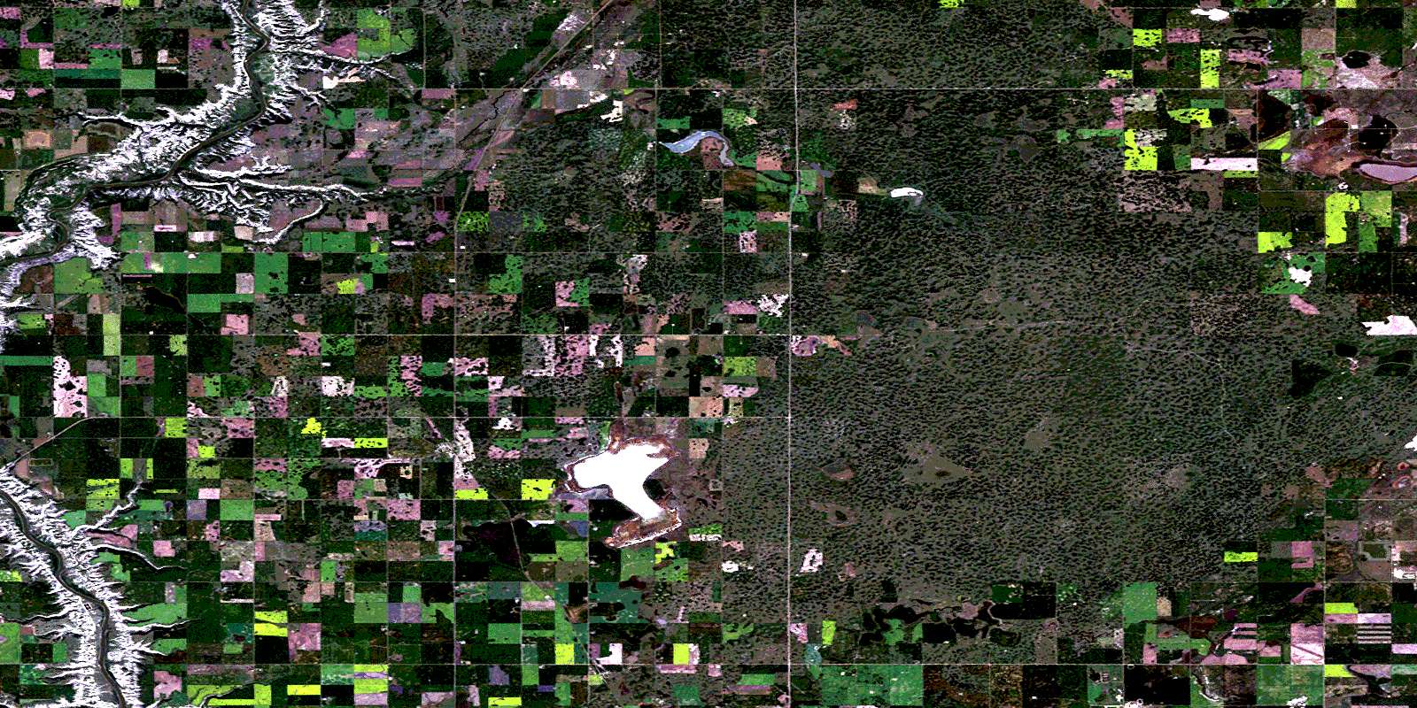
Rumsey Satellite Image Map
Download Free Aerial Photo 082P15 at 1:50,000 scale
Rumsey Satellite Imagery
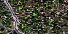
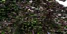
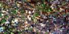
To view this satellite map, mouse over the air photo on the right.
You can also download this satellite image map for free:
082P15 Rumsey high-resolution satellite image map.
Maps for the Rumsey aerial map sheet 082P15 at 1:50,000 scale are also available in these versions:
Rumsey Surrounding Area Aerial Photo Maps
 |
 |
 |
 |
 |
 |
 |
 |
 |
 |
 |
 |
 |
 |
 |
 |
© Department of Natural Resources Canada. All rights reserved.
Rumsey Gazetteer
The following places can be found on satellite image map 082P15 Rumsey:
Rumsey Satellite Image: Lakes
Cornish LakeKurth Lake
Lee Lake
McKee Lake
Mortimer Lake
Mudspring Lake
Snake Lake
Tipper Lake
Rumsey Satellite Image: Mountains
Gopher HeadRumsey Satellite Image: Major municipal/district area - major agglomerations
County of Red Deer No. 23County of Stettler No. 6
Municipal District of Kneehill No. 48
Municipal District of Starland No. 47
Red Deer County
Starland County
Rumsey Satellite Image: Conservation areas
Dry Island Buffalo Jump Provincial ParkRumsey Cairn Provincial Historic Site (Undeveloped)
Rumsey Satellite Image: Rivers
Big Valley CreekFarrell Creek
Red Deer River
Rumsey Satellite Image: Unincorporated areas
Gopher HeadRowley
Rumsey
Scollard
© Department of Natural Resources Canada. All rights reserved.
