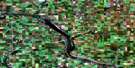
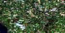
Innisfail Satellite Image Map
Download Free Aerial Photo 083A04 at 1:50,000 scale
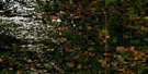
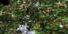
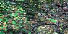
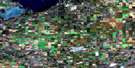
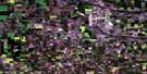
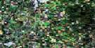
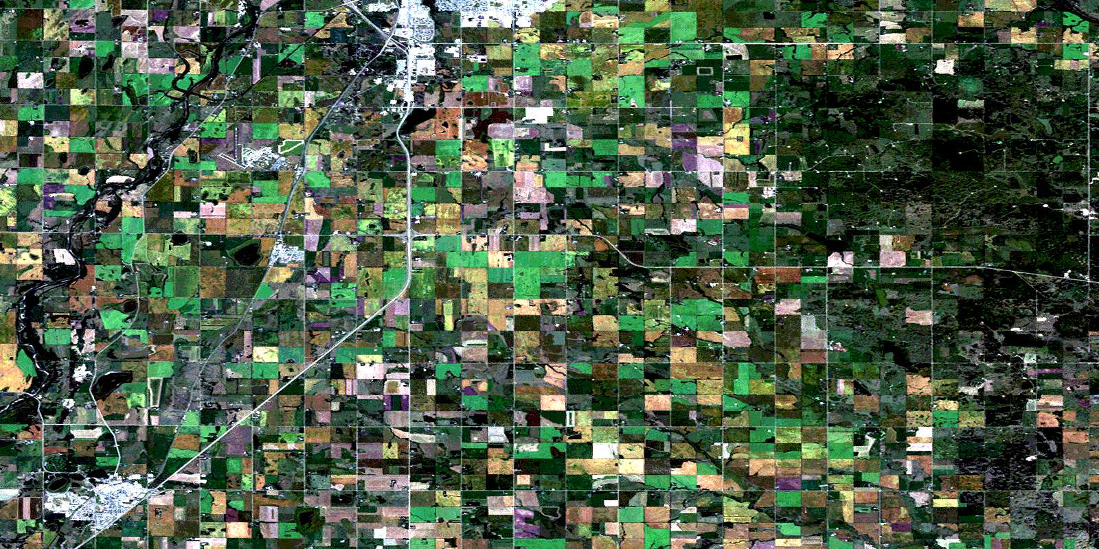
Innisfail Satellite Imagery
To view this satellite map, mouse over the air photo on the right.
You can also download this satellite image map for free:
083A04 Innisfail high-resolution satellite image map.
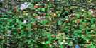
Maps for the Innisfail aerial map sheet 083A04 at 1:50,000 scale are also available in these versions:
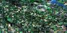
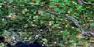
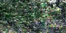
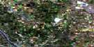
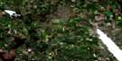
Innisfail Surrounding Area Aerial Photo Maps
 |
 |
 |
 |
 |
 |
 |
 |
 |
 |
 |
 |
 |
 |
 |
 |
© Department of Natural Resources Canada. All rights reserved.
Innisfail Gazetteer
The following places can be found on satellite image map 083A04 Innisfail:
Innisfail Satellite Image: City
Red DeerInnisfail Satellite Image: Lakes
Dodds LakeFleming Slough
Hazelwood Lake
Kenning Slough
Mud Lake
Napoleon Lake
Pennington Lake
Innisfail Satellite Image: Mountains
Antler HillInnisfail Satellite Image: Major municipal/district area - major agglomerations
County of Red Deer No. 23Lacombe County
Red Deer County
Innisfail Satellite Image: Rivers
Ghostpine CreekKneehill Creek
Kneehills Creek
Piper Creek
Red Deer River
Threehills Creek
Waskasoo Creek
Innisfail Satellite Image: Towns
InnisfailPenhold
Innisfail Satellite Image: Unincorporated areas
ForthHill End
Hillsdown
Mintlaw
Niobe
Tuttle
© Department of Natural Resources Canada. All rights reserved.
