Valemount Satellite Image Map
Download Free Aerial Photo 083D14 at 1:50,000 scale
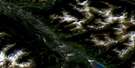
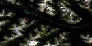
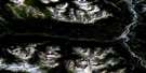
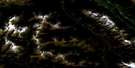
Valemount Satellite Imagery
To view this satellite map, mouse over the air photo on the right.
You can also download this satellite image map for free:
083D14 Valemount high-resolution satellite image map.
Maps for the Valemount aerial map sheet 083D14 at 1:50,000 scale are also available in these versions:
Valemount Surrounding Area Aerial Photo Maps
 |
 |
 |
 |
 |
 |
 |
 |
 |
 |
 |
 |
 |
 |
 |
 |
© Department of Natural Resources Canada. All rights reserved.
Valemount Gazetteer
The following places can be found on satellite image map 083D14 Valemount:
Valemount Satellite Image: Falls
Rearguard FallsValemount Satellite Image: Lakes
Cranberry LakeKinbasket Lake
Little Cranberry Lake
Valemount Satellite Image: Mountains
Alpland RidgeCariboo Mountains
Columbia Mountains
Emerald Ridge
Klapperhorn Mountain
Malton Range
Monashee Mountains
Mount McKirdy
Mount Pierre Elliott Trudeau
Mount Terry Fox
Overlander Mountain
Park Ranges
Premier Range
Selwyn Range
Valemount Satellite Image: Major municipal/district area - major agglomerations
Cariboo Regional DistrictRegional District of Fraser-Fort George
Valemount Satellite Image: Conservation areas
Jackman Flats ParkMount Robson Park
Mount Terry Fox Park
Rearguard Falls Park
Valemount Satellite Image: Rivers
Barrett CreekCamp Creek
Canoe River
Cochrane Creek
Cranberry Creek
Crooked Creek
Dave Henry Creek
Fleuve Fraser
Fraser River
Goslin Creek
Hogan Creek
Home Creek
Hystad Creek
L'Estrange Creek
L'Heureux Creek
Marathon Creek
McKirdy Creek
McLennan River
Packsaddle Creek
Selkirk Creek
Snowcourse Creek
Swift Creek
Tapli Creek
Teepee Creek
Terry Fox Creek
Tête Creek
West Cranberry Creek
Valemount Satellite Image: River features
Canoe ReachValemount Satellite Image: Unincorporated areas
CedarsideCharles
Harvey
Jackman
Lubin
McCabe
Morey
Peterson
Rearguard
Red Pass
Red Pass Junction
Redpass Junction
Spicer
Swift Creek
Swiftwater
Taverna
Tête Jaune
Tête Jaune Cache
Von Zuben
Valemount Satellite Image: Valleys
Red PassRobson Valley
Rocky Mountain Trench
Valemount Satellite Image: Villages
Valemount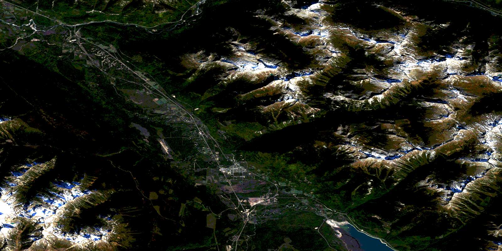
© Department of Natural Resources Canada. All rights reserved.
083D Related Maps:
083D Canoe River083D01 Wood Arm
083D02 Nagle Creek
083D03 Blue River
083D04 Murtle Lake
083D05 Angus Horne Lake
083D06 Lempriere
083D07 Howard Creek
083D08 Athabasca Pass
083D09 Amethyst Lakes
083D10 Ptarmigan Creek
083D11 Canoe Mountain
083D12 Azure River
083D13 Kiwa Creek
083D14 Valemount
083D15 Lucerne
083D16 Jasper
