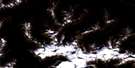
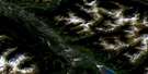
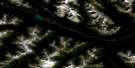
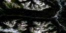
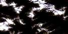
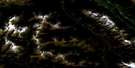
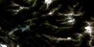
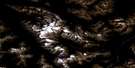
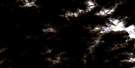
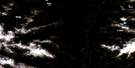
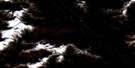
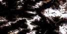
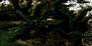
Jasper Satellite Image Map
Download Free Aerial Photo 083D16 at 1:50,000 scale
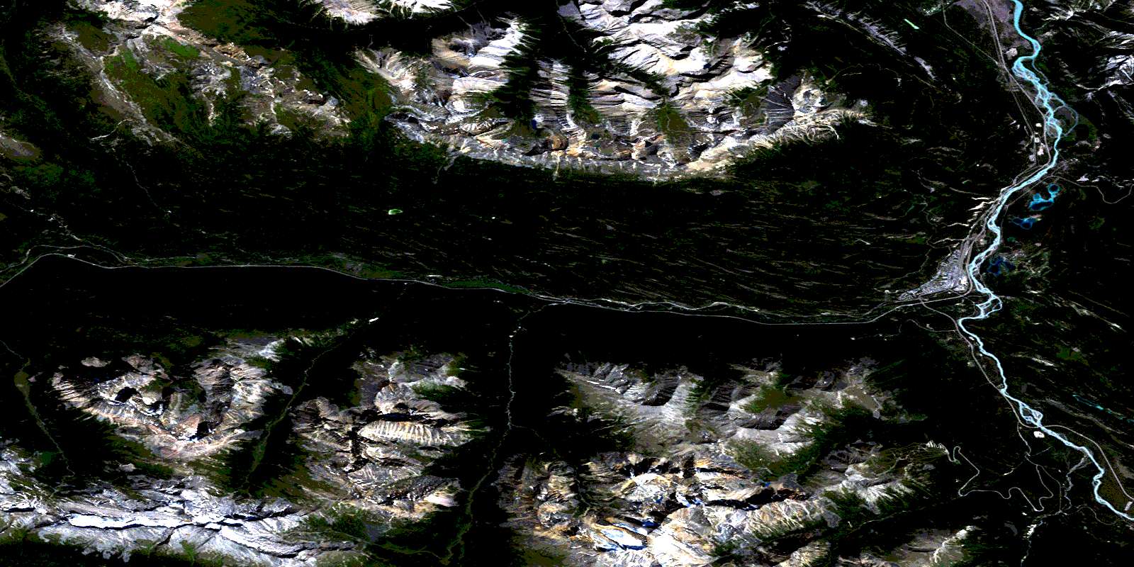
Jasper Satellite Imagery
To view this satellite map, mouse over the air photo on the right.
You can also download this satellite image map for free:
083D16 Jasper high-resolution satellite image map.
Maps for the Jasper aerial map sheet 083D16 at 1:50,000 scale are also available in these versions:
Jasper Surrounding Area Aerial Photo Maps
 |
 |
 |
 |
 |
 |
 |
 |
 |
 |
 |
 |
 |
 |
 |
 |
© Department of Natural Resources Canada. All rights reserved.
Jasper Gazetteer
The following places can be found on satellite image map 083D16 Jasper:
Jasper Satellite Image: Capes
Old Fort PointJasper Satellite Image: Glaciers
Clairvaux GlacierMeadow Glacier
Vista Glacier
Jasper Satellite Image: Lakes
Annette LakeBeauvert Lake
Cabin Lake
Caledonia Lake
Christine Lake
Cutt Lake
Dorothy Lake
Edith Lake
Fifth Lake
First Lake
Fourth Lake
Golden Lake
Hibernia Lake
High Lakes
Iris Lake
Katrine Lake
Marjorie Lake
Mildred Lake
Mina Lake
Minnow Lake
Ochre Lake
Patricia Lake
Portal Lake
Pyramid Lake
Rathlin Lake
Riley Lake
Saturday Night Lake
Second Lake
Third Lake
Trefoil Lakes
Twin Lakes
Virl Lake
Wabasso Lakes
Jasper Satellite Image: Mountains
Arris MountainBasilica Mountain
Bucephalus Peak
Buttress Mountain
Cairngorm
Caniche Peak
Caniche Peak
Clairvaux Mountain
Clairvaux Mountain
Colin Range
Curia Mountain
Elysium Mountain
Emigrants Mountain
Fortalice Mountain
Frontier Peak
Glacis Ridge
Holloway Rock
Indian Ridge
Kataka Mountain
Kataka Mountain
Majestic Mountain
Manx Peak
Marmot Mountain
Miette Hill
Miette Hill
Montagnes Rocheuses
Montagnes Rocheuses
Mount Clairvaux
Mount Clairvaux
Mount Estella
Mount Fitzwilliam
Mount Henry
Mount Kerr
Mount Kinross
Mount McKean
Mount McKeen
Mount Pattison
Mount Zengel
Muhigan Mountain
Park Ranges
Peveril Peak
Pyramid Mountain
Roche Noire
Rocky Mountains
Rocky Mountains
Rostrum Hill
Terminal Mountain
The Palisade
The Whistlers
Trident Range
Vertex Peak
Victoria Cross Range
Victoria Cross Ranges
Vista Peak
Vista Peak
Jasper Satellite Image: Major municipal/district area - major agglomerations
Cariboo Regional DistrictJasper
Regional District of Fraser-Fort George
Jasper Satellite Image: Other municipal/district area - miscellaneous
Improvement District No. 12Improvement District No. 12
Jasper Improvement District
Jasper Satellite Image: Conservation areas
Henry House National Historic Site of CanadaJasper National Park of Canada
Jasper Park Information Centre National Historic Site of Canada
Lieu historique national du Canada du Centre-d'Accueil-du-Parc-Jasper
Lieu historique national du Canada du Col-Yellowhead
Lieu historique national du Canada Henry House
Mount Robson Park
Parc national du Canada Jasper
Yellowhead Pass National Historic Site of Canada
Jasper Satellite Image: Plains
Monarch MeadowsJasper Satellite Image: Rivers
Astoria RiverAthabasca River
Athabaska River
Cabin Creek
Circus Creek
Clairvaux Creek
Conifer Creek
Cottonwood Creek
Crescent Creek
Derr Creek
Fitzwilliam Creek
Garonne Creek
Hoodoo Creek
Maligne River
Meadow Creek
Miette River
Minaga Creek
Moat Creek
Muhigan Creek
Portal Creek
Portal Creek
Pyramid Creek
Rivière Athabasca
Rockingham Creek
Tekarra Creek
Tonquin Creek
Vista Creek
Whistlers Creek
Yellowhead Creek
Jasper Satellite Image: River features
Cottonwood SloughJasper Satellite Image: Unincorporated areas
DecoigneGeikie
Henry House
Jasper
Jasper Park Lodge
Wynd
Yellowhead
Jasper Satellite Image: Valleys
Circus ValleyElysium Pass
Indian Pass
Maligne Canyon
Marmot Pass
Pattison Pass
The Forum
The Portal
Thornton Pass
Valley of Five Lakes
Vista Pass
Whistlers Pass
Yellowhead Pass
Yellowhead Pass
Jasper Satellite Image: Low vegetation
Dominion PrairiePrairie de la Vache
© Department of Natural Resources Canada. All rights reserved.
083D Related Maps:
083D Canoe River083D01 Wood Arm
083D02 Nagle Creek
083D03 Blue River
083D04 Murtle Lake
083D05 Angus Horne Lake
083D06 Lempriere
083D07 Howard Creek
083D08 Athabasca Pass
083D09 Amethyst Lakes
083D10 Ptarmigan Creek
083D11 Canoe Mountain
083D12 Azure River
083D13 Kiwa Creek
083D14 Valemount
083D15 Lucerne
083D16 Jasper
