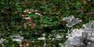
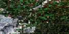
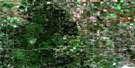
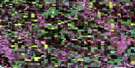
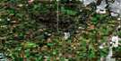
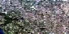
Camrose Satellite Image Map
Download Free Aerial Photo 083H02 at 1:50,000 scale
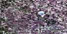
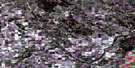
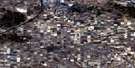
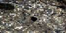
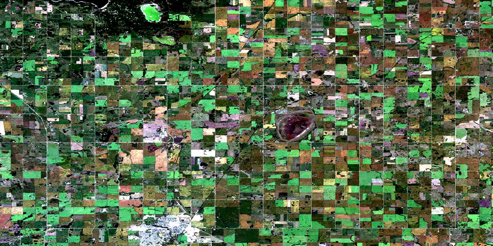
Camrose Satellite Imagery
To view this satellite map, mouse over the air photo on the right.
You can also download this satellite image map for free:
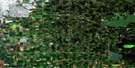
083H02 Camrose high-resolution satellite image map.
Maps for the Camrose aerial map sheet 083H02 at 1:50,000 scale are also available in these versions:
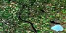
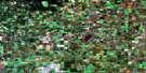
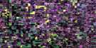
Camrose Surrounding Area Aerial Photo Maps
 |
 |
 |
 |
 |
 |
 |
 |
 |
 |
 |
 |
 |
 |
 |
 |
© Department of Natural Resources Canada. All rights reserved.
Camrose Gazetteer
The following places can be found on satellite image map 083H02 Camrose:
Camrose Satellite Image: City
CamroseCamrose Satellite Image: Lakes
Demay LakeDusty Lake
Miquelon Lakes
Mirror Lake
Camrose Satellite Image: Mountains
Pretty HillCamrose Satellite Image: Major municipal/district area - major agglomerations
Beaver CountyCounty of Beaver No. 9
County of Camrose No. 22
Camrose Satellite Image: Conservation areas
Miquelon Lake Provincial ParkCamrose Satellite Image: Rivers
Amisk CreekCamrose Creek
Camrose Satellite Image: Unincorporated areas
ArmenaBarlee Junction
Demay
Dinant
Dodds
Ervick
Kingman
Lundemo
Miquelon Beach
Round Hill
© Department of Natural Resources Canada. All rights reserved.
