Leduc Satellite Image Map
Download Free Aerial Photo 083H05 at 1:50,000 scale
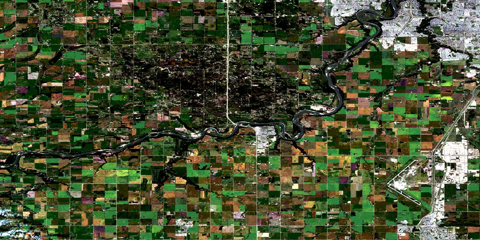
Leduc Satellite Imagery
To view this satellite map, mouse over the air photo on the right.
You can also download this satellite image map for free:
083H05 Leduc high-resolution satellite image map.
Maps for the Leduc aerial map sheet 083H05 at 1:50,000 scale are also available in these versions:
Leduc Surrounding Area Aerial Photo Maps
 |
 |
 |
 |
 |
 |
 |
 |
 |
 |
 |
 |
 |
 |
 |
 |
© Department of Natural Resources Canada. All rights reserved.
Leduc Gazetteer
The following places can be found on satellite image map 083H05 Leduc:
Leduc Satellite Image: City
EdmontonLeduc
Leduc Satellite Image: Indian Reserves
Stony Plain 135Leduc Satellite Image: Islands
Big IslandLeduc Satellite Image: Lakes
Telford LakeYekau Lake
Leduc Satellite Image: Major municipal/district area - major agglomerations
County of Leduc No. 25County of Parkland No. 31
Leduc County
Parkland County
Leduc Satellite Image: Rivers
Atim CreekBlackmud Creek
Conjuring Creek
Cutbank Creek
Irvine Creek
North Saskatchewan River
Rivière Saskatchewan Nord
Weed Creek
West Whitemud Creek
Whitemud Creek
Willow Creek
Leduc Satellite Image: Towns
CalmarDevon
Leduc Satellite Image: Unincorporated areas
AllendaleAspen Gardens
Bearspaw
Blue Quill
Blue Quill Estates
Brander Gardens
Brookside
Callingwood South
Duggan
Empire Park
Ermineskin
Gariepy
Golden Spike
Graminia
Grandview Heights
Greenfield
Ireton
Keheewin
Lansdowne
Leasowe
Lendrum Place
Malmo Plains
Nisku
Ormsby Place
Parkallen
Pleasantview
Ramsay Heights
Rideau Park
Royal Gardens
Skyrattler
Steinhauer
Sweet Grass
Westbrook Estate
Woodbend
© Department of Natural Resources Canada. All rights reserved.
