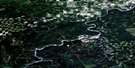
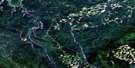
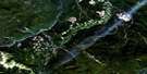
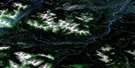
Big Mountain Creek Satellite Image Map
Download Free Aerial Photo 083L15 at 1:50,000 scale
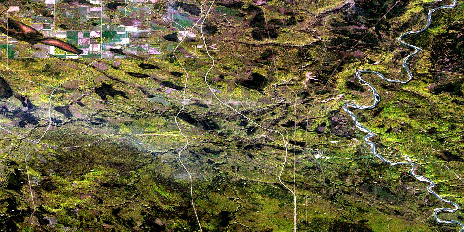
Big Mountain Creek Satellite Imagery
To view this satellite map, mouse over the air photo on the right.
You can also download this satellite image map for free:
083L15 Big Mountain Creek high-resolution satellite image map.
Maps for the Big Mountain Creek aerial map sheet 083L15 at 1:50,000 scale are also available in these versions:
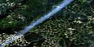
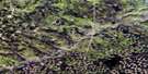
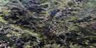
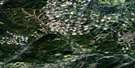
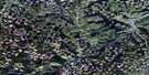
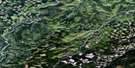
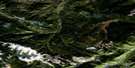
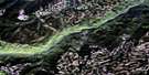
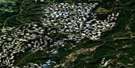
Big Mountain Creek Surrounding Area Aerial Photo Maps
 |
 |
 |
 |
 |
 |
 |
 |
 |
 |
 |
 |
 |
 |
 |
 |
© Department of Natural Resources Canada. All rights reserved.
Big Mountain Creek Gazetteer
The following places can be found on satellite image map 083L15 Big Mountain Creek:
Big Mountain Creek Satellite Image: Beaches
Salmond's FlatBig Mountain Creek Satellite Image: Mountains
Campbell RidgeWilson Ridge
Big Mountain Creek Satellite Image: Major municipal/district area - major agglomerations
Municipal District of Greenview No. 16Big Mountain Creek Satellite Image: Rivers
Bald Mountain CreekBig Mountain Creek
Campbell Creek
Gold Creek
McMillar Creek
Smoky River
Wilson Creek
Big Mountain Creek Satellite Image: Unincorporated areas
BraatenDorscheid
© Department of Natural Resources Canada. All rights reserved.
083L Related Maps:
083L Wapiti083L01 No Title
083L02 Bolton Creek
083L03 Copton Creek
083L04 Kakwa Falls
083L05 Two Lakes
083L06 Chicken Creek
083L07 Prairie Creek
083L08 Amundson
083L09 Latornell
083L10 Cutbank River
083L11 No Title
083L12 Lingrell Lake
083L13 Calahoo Creek
083L14 Wapiti
083L15 Big Mountain Creek
083L16 Lignite Creek
