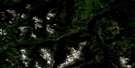
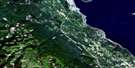
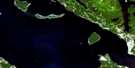
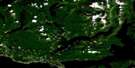
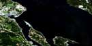
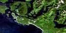
Bedwell River Satellite Image Map
Download Free Aerial Photo 092F05 at 1:50,000 scale
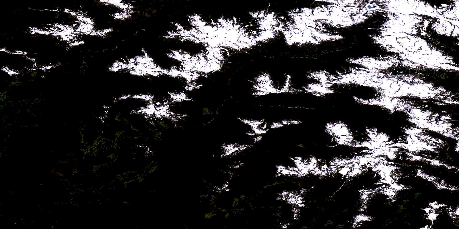
Bedwell River Satellite Imagery
To view this satellite map, mouse over the air photo on the right.
You can also download this satellite image map for free:
092F05 Bedwell River high-resolution satellite image map.
Maps for the Bedwell River aerial map sheet 092F05 at 1:50,000 scale are also available in these versions:
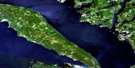
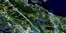
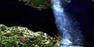
Bedwell River Surrounding Area Aerial Photo Maps
 |
 |
 |
 |
 |
 |
 |
 |
 |
 |
 |
 |
 |
 |
 |
 |
© Department of Natural Resources Canada. All rights reserved.
Bedwell River Gazetteer
The following places can be found on satellite image map 092F05 Bedwell River:
Bedwell River Satellite Image: Bays
Bedingfield BayBedwell Sound
Cypress Bay
Gibson Cove
Hecate Bay
Herbert Arm
Herbert Inlet
Mosquito Harbour
Moyeha Bay
Quait Bay
Warn Bay
Whitepine Cove
Bedwell River Satellite Image: Capes
Rant PointTurn Point
Bedwell River Satellite Image: Cliffs
Bare BluffBedwell River Satellite Image: Falls
Della FallsBedwell River Satellite Image: Geographical areas
Clayoquot Land DistrictBedwell River Satellite Image: Glaciers
Taylor GlacierBedwell River Satellite Image: Indian Reserves
Moyehai Indian Reserve 23Oinimitis Indian Reserve 14
Peneetle Indian Reserve 22
Quortsowe Indian Reserve 13
Réserve indienne Moyehai 23
Réserve indienne Oinimitis 14
Réserve indienne Peneetle 22
Réserve indienne Quortsowe 13
Réserve indienne Wahous 19
Réserve indienne Wahous 20
Wahous Indian Reserve 19
Wahous Indian Reserve 20
Bedwell River Satellite Image: Islands
Binns IslandÎle de Vancouver
Knocker Islet
McLeod Island
Observation Islet
Rhodes Island
River Island
Vancouver Island
Welcome Island
Bedwell River Satellite Image: Lakes
Andrew LakeBeauty Lake
Bedwell Lake
Cream Lake
Della Lake
Leader lake
Love Lake
Paradise Lake
Bedwell River Satellite Image: Mountains
Abco MountainBedingfield Range
Big Interior Mountain
Catface Mountains
Catface Range
Lone Wolf Mountain
Mariner Mountain
Mount Cotter
Mount Drew
Mount Guemes
Mount Quimper
Mount Rosseau
Mount Saavedra
Mount Septimus
Mount Tom Taylor
Mount Wood
Nine Peaks
Rhino Peak
Shelbert Mountain
Steeple Mountain
Ursus Mountain
Valella Peak
Vancouver Island Mountains
Vancouver Island Ranges
Velella Peak
Bedwell River Satellite Image: Major municipal/district area - major agglomerations
Regional District of Alberni-ClayoquotBedwell River Satellite Image: Conservation areas
Strathcona ParkStrathcona Recreation Area
Tranquil Creek Park
Bedwell River Satellite Image: Rivers
Abco CreekAshwood Creek
Balbo Creek
Bawden Creek
Bedwell River
Blaney Creek
Bulson Creek
Cotter Creek
Cream Creek
Cypre River
Drinkwater Creek
Kennedy River
Kowus Creek
Love Creek
Mariner Creek
McBride Creek
Megin River
Mitla Creek
Moyeha River
Noble Creek
Penny Creek
Price Creek
Sam Craig Creek
Shelter Creek
Taylor River
Thunderbird Creek
Tofino Creek
Tranquil Creek
Ursus Creek
Watta Creek
You Creek
Bedwell River Satellite Image: Shoals
Mussel RockSutlej Rock
© Department of Natural Resources Canada. All rights reserved.
092F Related Maps:
092F Port Alberni092F01 Nanaimo Lakes
092F02 Alberni Inlet
092F03 Effingham River
092F04 Tofino
092F05 Bedwell River
092F06 Great Central Lake
092F07 Horne Lake
092F08 Parksville
092F09 Texada Island
092F10 Comox
092F11 Forbidden Plateau
092F12 Buttle Lake
092F13 Upper Campbell Lake
092F14 Oyster River
092F15 Powell River
092F16 Haslam Lake
