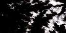
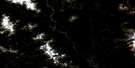
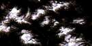
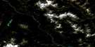
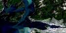
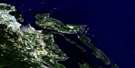
Lulu Island Satellite Image Map
Download Free Aerial Photo 092G03 at 1:50,000 scale
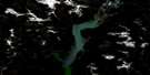
Lulu Island Satellite Imagery
To view this satellite map, mouse over the air photo on the right.
You can also download this satellite image map for free:
092G03 Lulu Island high-resolution satellite image map.
Maps for the Lulu Island aerial map sheet 092G03 at 1:50,000 scale are also available in these versions:
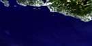
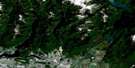
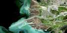
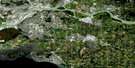
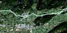
Lulu Island Surrounding Area Aerial Photo Maps
 |
 |
 |
 |
 |
 |
 |
 |
 |
 |
 |
 |
 |
 |
 |
 |
© Department of Natural Resources Canada. All rights reserved.
Lulu Island Gazetteer
The following places can be found on satellite image map 092G03 Lulu Island:
Lulu Island Satellite Image: Bays
Boundary BayMiddle Arm
North Arm
North Arm Fraser River
North Arm of Fraser River
Lulu Island Satellite Image: Beaches
Grauer BeachSteveston Bar
Lulu Island Satellite Image: Capes
Blair PointGarry Point
Pelly Point
Sand Heads
Lulu Island Satellite Image: Channels
Cannery ChannelCanoe Pass
Canoe Passage
Morey Channel
Ship Channel
Strait of Georgia
Lulu Island Satellite Image: City
RichmondVancouver
Lulu Island Satellite Image: Cliffs
English BluffLulu Island Satellite Image: District municipality
DeltaLulu Island Satellite Image: Geographical areas
Cowichan Land DistrictNanaimo Land District
New Westminster Land District
Lulu Island Satellite Image: Indian Reserves
Musqueam Indian Reserve 2Musqueam Indian Reserve 4
Réserve indienne Musqueam 2
Réserve indienne Musqueam 4
Réserve indienne Sea Island 3
Réserve indienne Tsawwassen
Sea Island Indian Reserve 3
Tsawwassen Indian Reserve
Lulu Island Satellite Image: Islands
Albion IslandBarber Island
Deas Island
Deering Island
Dinsmore Island
Duck Island
Eburne Island
Gilmour Island
Gunn Island
Harlock Island
Iona Island
Kirkland Island
Lulu Island
Mitchell Island
No. 1 Island
Pheasant Island
Reifel Island
Richmond Island
Rose Island
Sea Island
Steveston Island
Swishwash Island
Tilbury Island
Twigg Island
Twiggs Island
Westham Island
Williamson Island
Wood Island
Woodward Island
Lulu Island Satellite Image: Lakes
Cohilukthan SloughCrescent Slough
Deas Slough
Ewen Slough
Gilmour Slough
London Slough
McDonald Slough
Tamboline Slough
Tilbury Slough
Williamson Slough
Woodward Slough
Lulu Island Satellite Image: Marine navigation features
Roberts BankWoodward Landing
Lulu Island Satellite Image: Mountains
Boundary BluffLittle Mountain
Lulu Island Satellite Image: Major municipal/district area - major agglomerations
Cowichan Valley Regional DistrictLulu Island Satellite Image: Conservation areas
Alaksen National Wildlife AreaGeorge C. Reifel Bird Sanctuary
Gulf of Georgia Cannery National Historic Site of Canada
Lieu historique national du Canada Gulf of Georgia Cannery
Refuge d'oiseaux de George C. Reifel
Réserve nationale de faune d'Alaksen
Lulu Island Satellite Image: Provinces
British ColumbiaColombie-Britannique
Lulu Island Satellite Image: Rivers
Fleuve FraserFraser River
Lulu Island Satellite Image: River features
Gravesend ReachLadner Reach
Sea Reach
Steveston Bend
Woodward Reach
Lulu Island Satellite Image: Road features
George Massey TunnelLulu Island Satellite Image: Shoals
Roberts BankSturgeon Bank
Lulu Island Satellite Image: Unincorporated areas
AlbertaArbutus Ridge
Beach Grove
Blundell
Boundary Bay
Boundary Road
Branscomb
Bridgeport
Brighouse
Broadmoor
Burkeville
Cambie
Cascade Heights
Central Park
Delta
Dunbar-Southlands
Eburne
Garden Village
Inverholm
Kensington-Cedar Cottage
Kerrisdale
Killarney
Ladner
Lafarge
Lulu
Marpole
McKay
Metrotown
Oakridge
Parkdale Gardens
Port Guichon
Renfrew-Collingwood
Riley Park
Seafair
Sexsmith
Shaughnessy
South Burnaby
South Cambie
South Fraser
South Fraser Street
South Slope
Southarm
Steveston
Suncrest
Sunset
Sussex Avenue
Thompson
Tilbury
Tilbury Dock
Tsawwassen
Tsawwassen
Tsawwassen Beach
Tucks
Victoria-Fraserview
Woodward
Woodwards
Woodwards Landing
Wyman
Lulu Island Satellite Image: Low vegetation
Ladner Marsh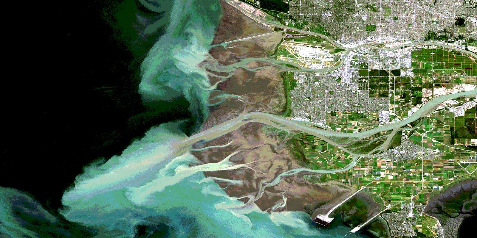
© Department of Natural Resources Canada. All rights reserved.
092G Related Maps:
092G Vancouver092G01 Mission
092G02 New Westminster
092G03 Lulu Island
092G04 Nanaimo
092G05 Sechelt
092G06 North Vancouver
092G07 Port Coquitlam
092G08 Stave Lake
092G09 Stave River
092G10 Pitt River
092G11 Squamish
092G12 Sechelt Inlet
092G13 Jervis Inlet
092G14 Cheakamus River
092G15 Mamquam Mountain
092G16 Glacier Lake
