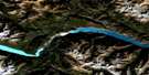
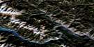
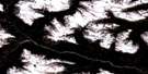
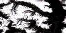
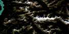
Shalalth Satellite Image Map
Download Free Aerial Photo 092J09 at 1:50,000 scale
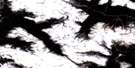
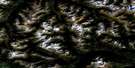
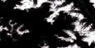
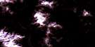
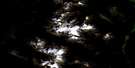
Shalalth Satellite Imagery
To view this satellite map, mouse over the air photo on the right.
You can also download this satellite image map for free:
092J09 Shalalth high-resolution satellite image map.
Maps for the Shalalth aerial map sheet 092J09 at 1:50,000 scale are also available in these versions:
Shalalth Surrounding Area Aerial Photo Maps
 |
 |
 |
 |
 |
 |
 |
 |
 |
 |
 |
 |
 |
 |
 |
 |
© Department of Natural Resources Canada. All rights reserved.
Shalalth Gazetteer
The following places can be found on satellite image map 092J09 Shalalth:
Shalalth Satellite Image: Indian Reserves
Anderson Lake Indian Reserve 5Mission Indian Reserve 5
Necait Indian Reserve 6
Nequatque Indian Reserve 1
Nequatque Indian Reserve 2
Nequatque Indian Reserve 3
Nequatque Indian Reserve 3A
Réserve indienne Anderson Lake 5
Réserve indienne Mission 5
Réserve indienne Necait 6
Réserve indienne Nequatque 1
Réserve indienne Nequatque 2
Réserve indienne Nequatque 3
Réserve indienne Nequatque 3A
Réserve indienne Seton Lake 5A
Réserve indienne Silicon 2
Réserve indienne Slosh 1
Réserve indienne Slosh 1A
Réserve indienne Whitecap 1
Seton Lake 7
Seton Lake Indian Reserve 5A
Silicon Indian Reserve 2
Slosh Indian Reserve 1
Slosh Indian Reserve 1A
Whitecap 1
Whitecap Indian Reserve 1
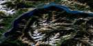
Shalalth Satellite Image: Lakes
Anderson LakeMoon Lake
Seton Lake
Twin Lakes
Shalalth Satellite Image: Mountains
Bendor RangeCayoosh Range
Chaîne Côtière
Chilcotin Ranges
Coast Mountains
Lillooet Ranges
McLean Mountain
Mission Ridge
Mount McLean
Pacific Ranges
Shalalth Satellite Image: Conservation areas
Seton Portage Historic ParkShalalth Satellite Image: Rivers
Ama CreekAudrey Creek
Blackwater Creek
Boulder Creek
Cayoosh Creek
Chuchinka Creek
Cinnamon Creek
Connel Creek
Copper Creek
Crystal Creek
D'Arcy Creek
Dickey Creek
Downton Creek
Duguid Creek
Gates River
Gott Creek
Haylmore Creek
Hushem Creek
Lizard Creek
Lost Valley Creek
Machute Creek
Madeline Creek
McDonnell Creek
McGillivray Creek
Mellott Creek
Melvin Creek
Moon Creek
Ohin Creek
Olin Creek
Omin Brook
Phair Creek
Pinney Creek
Ptilla Creek
Puck Creek
Scutt Creek
Seton Creek
Seton River
Six Mile Creek
Spider Creek
Spruce Creek
Sundquist Creek
Tsee Creek
Wade Creek
Whas Brook
Whitecap Creek
Xusum Creek
Young John Creek
Shalalth Satellite Image: Unincorporated areas
Bridge RiverBuntains
Coopers
Curries
D'Arcy
Devine
MacNeill
Marne
McGillivray
McGillivray Falls
McNeils
Ponderosa
Retaskit
Seton
Seton (Seton Lake P.O.-B. de p.)
Seton Lake (Seton Ry. Pt.-P.F.)
Seton Portage
Shalalth
South Shalalth
Shalalth Satellite Image: Valleys
Mission Pass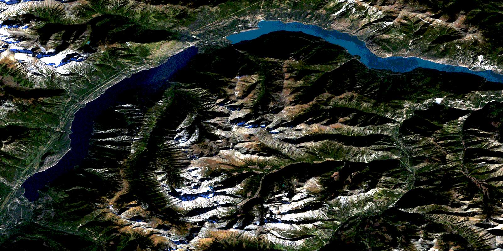
© Department of Natural Resources Canada. All rights reserved.
092J Related Maps:
092J Pemberton092J01 Stein Lake
092J02 Whistler
092J03 Brandywine Falls
092J04 Princes Louisa Inlet
092J05 Clendenning Creek
092J06 Ryan River
092J07 Pemberton
092J08 Duffey Lake
092J09 Shalalth
092J10 Birkenhead Lake
092J11 North Creek
092J12 Mount Dalgleish
092J13 Stanley Smith Glacier
092J14 Dickson Range
092J15 Bralorne
092J16 Bridge River
