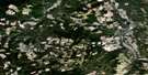
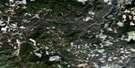
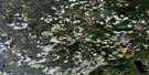
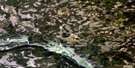
Narcosli Creek Satellite Image Map
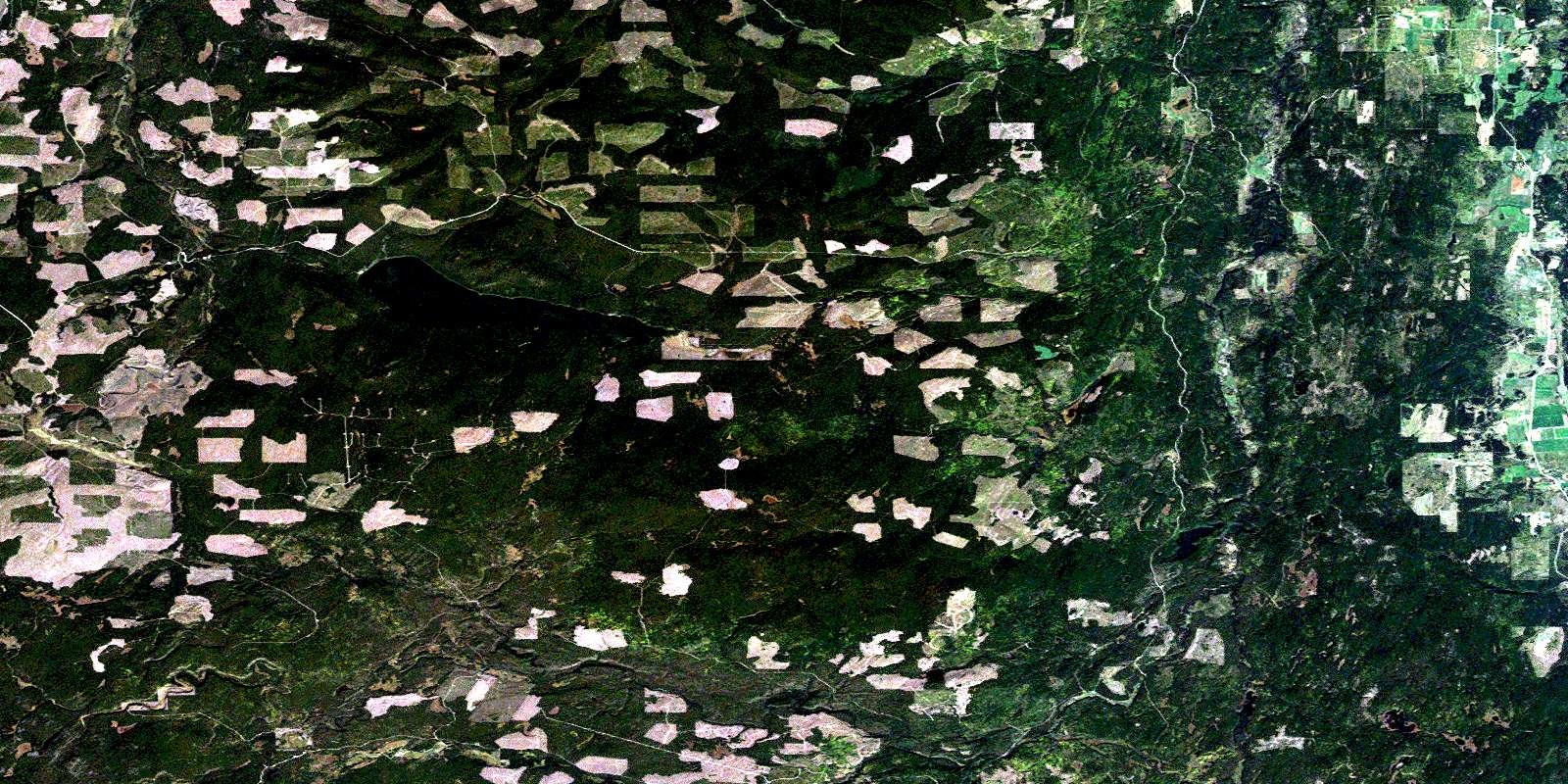
Download Free Aerial Photo 093B10 at 1:50,000 scale
Narcosli Creek Satellite Imagery
To view this satellite map, mouse over the air photo on the right.
You can also download this satellite image map for free:
093B10 Narcosli Creek high-resolution satellite image map.
Maps for the Narcosli Creek aerial map sheet 093B10 at 1:50,000 scale are also available in these versions:
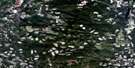
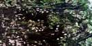
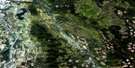
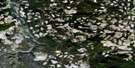
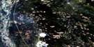
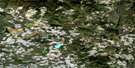
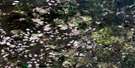
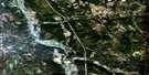
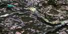
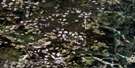
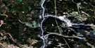
Narcosli Creek Surrounding Area Aerial Photo Maps
 |
 |
 |
 |
 |
 |
 |
 |
 |
 |
 |
 |
 |
 |
 |
 |
© Department of Natural Resources Canada. All rights reserved.
Narcosli Creek Gazetteer
The following places can be found on satellite image map 093B10 Narcosli Creek:
Narcosli Creek Satellite Image: Indian Reserves
Alexandria Indian Reserve 10Alexandria Indian Reserve 11
Alexandria Indian Reserve 3
Alexandria Indian Reserve 3A
Lorin Meadow Indian Reserve 9
McKay Meadow Indian Reserve 4
Réserve indienne Alexandria 10
Réserve indienne Alexandria 11
Réserve indienne Alexandria 3
Réserve indienne Alexandria 3A
Réserve indienne Lorin Meadow 9
Réserve indienne McKay Meadow 4
Narcosli Creek Satellite Image: Lakes
Maquoi LakeTzenzaicut Lake
Webster Lake
Narcosli Creek Satellite Image: Major municipal/district area - major agglomerations
Cariboo Regional DistrictNarcosli Creek Satellite Image: Plains
Fraser PlateauInterior Plateau
Narcosli Creek Satellite Image: Rivers
General CreekHodson Creek
Merston Creek
Narcosli Creek
Ramsey Creek
Rosenstock Creek
South Ramsey Creek
Townsend Creek
Twan Creek
Narcosli Creek Satellite Image: Unincorporated areas
Buck RidgeNarcosli Creek
© Department of Natural Resources Canada. All rights reserved.
093B Related Maps:
093B Quesnel093B01 Williams Lake
093B02 Drummond Lake
093B03 Alexis Creek
093B04 Redstone
093B05 Loomis Lake
093B06 Stum Lake
093B07 Twan Lake
093B08 Soda Creek
093B09 Alexandria
093B10 Narcosli Creek
093B11 Tautri Creek
093B12 Clisbako River
093B13 Marmot Lake
093B14 Long John Creek
093B15 Baker Creek
093B16 Quesnel River
