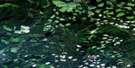
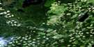
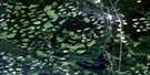
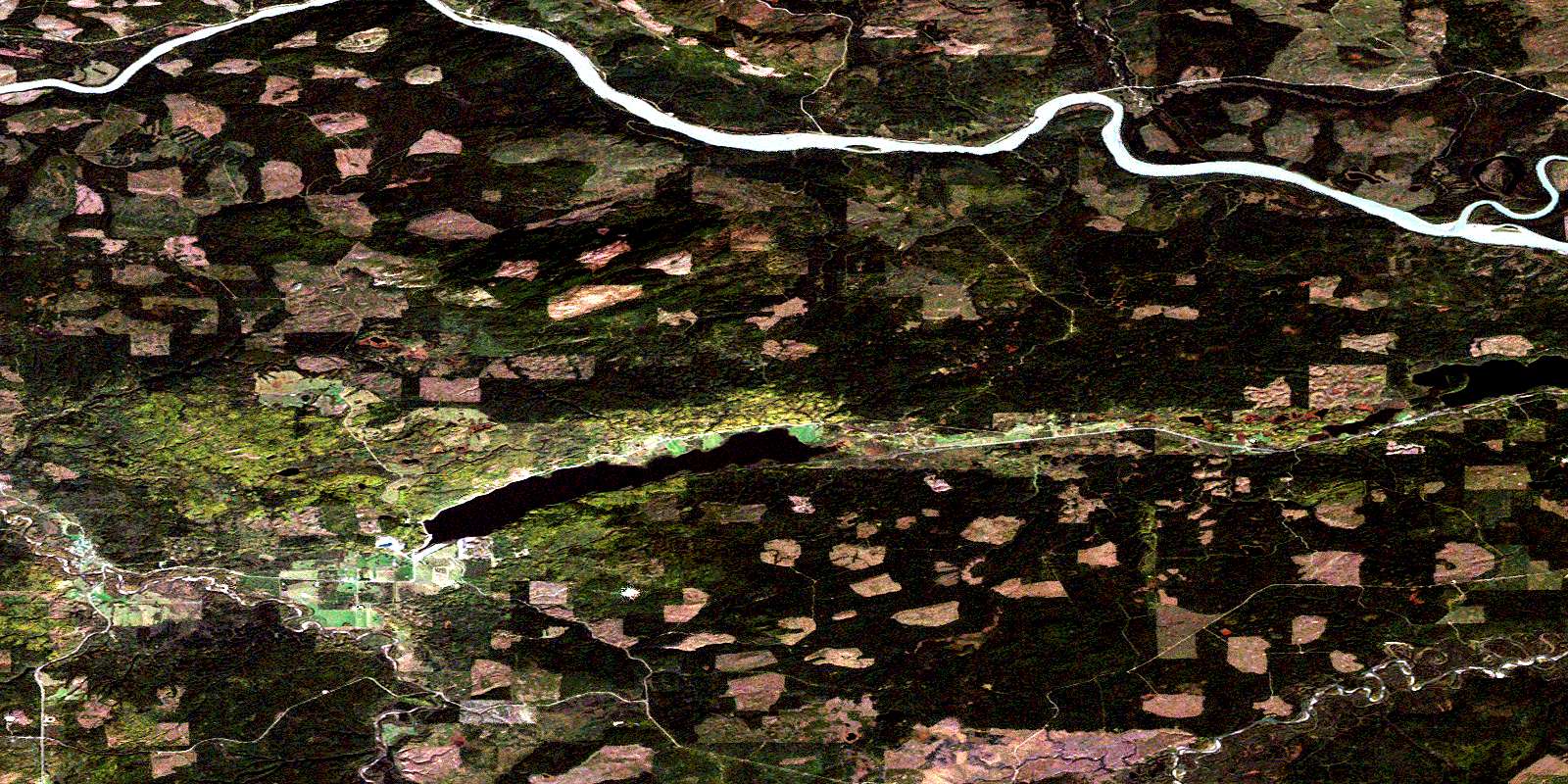
Giscome Satellite Image Map
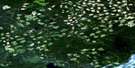
Download Free Aerial Photo 093J01 at 1:50,000 scale
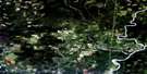
Giscome Satellite Imagery
To view this satellite map, mouse over the air photo on the right.
You can also download this satellite image map for free:
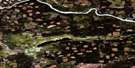
093J01 Giscome high-resolution satellite image map.
Maps for the Giscome aerial map sheet 093J01 at 1:50,000 scale are also available in these versions:
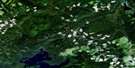
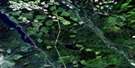
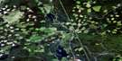
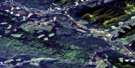
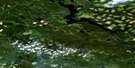
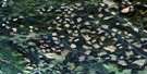
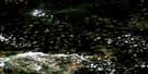
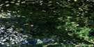
Giscome Surrounding Area Aerial Photo Maps
 |
 |
 |
 |
 |
 |
 |
 |
 |
 |
 |
 |
 |
 |
 |
 |
© Department of Natural Resources Canada. All rights reserved.
Giscome Gazetteer
The following places can be found on satellite image map 093J01 Giscome:
Giscome Satellite Image: Lakes
Aleza LakeBurned Lake
Eaglet Lake
Hansard Lake
Nazul Lake
Tshil Lake
Giscome Satellite Image: Major municipal/district area - major agglomerations
Regional District of Fraser-Fort GeorgeGiscome Satellite Image: Plains
Interior PlateauNechako Plateau
Giscome Satellite Image: Rivers
Antonson CreekAveril Creek
Bateman Creek
Bearman Creek
Beaver Creek
Bowron River
Charlie Creek
Fraser River
Hay Creek
Herring Creek
Hospital Creek
Jacura Creek
Jules Creek
Kerry Creek
Limestone Creek
Mann Creek
McGregor River
Mokus Creek
Ogilvie Creek
Olsson Creek
Slaney Creek
Tay Creek
Willow River
Giscome Satellite Image: Unincorporated areas
Aleza LakeGiscome
Newlands
Newlands Station
Willow City (Willow River P.O.-B. de p.)
Willow River
Wolverine
© Department of Natural Resources Canada. All rights reserved.
093J Related Maps:
093J Mcleod Lake093J01 Giscome
093J02 Salmon Valley
093J03 Saxton Lake
093J04 Knight Creek
093J05 Great Beaver Lake
093J06 Bugle Lake
093J07 Summit Lake
093J08 Averil Lake
093J09 Hominka River
093J10 Tacheeda Lakes
093J11 Weedon Lake
093J12 Carrier Lake
093J13 Salmon Lake
093J14 Carp Lake
093J15 Firth Lake
093J16 Anzac River
