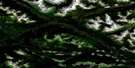
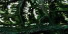
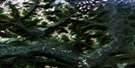
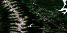
Germansen Landing Satellite Image Map
Download Free Aerial Photo 093N15 at 1:50,000 scale
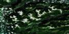
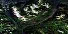
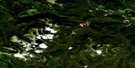
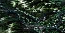
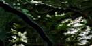
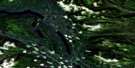
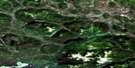
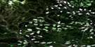
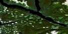
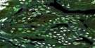
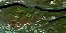
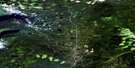
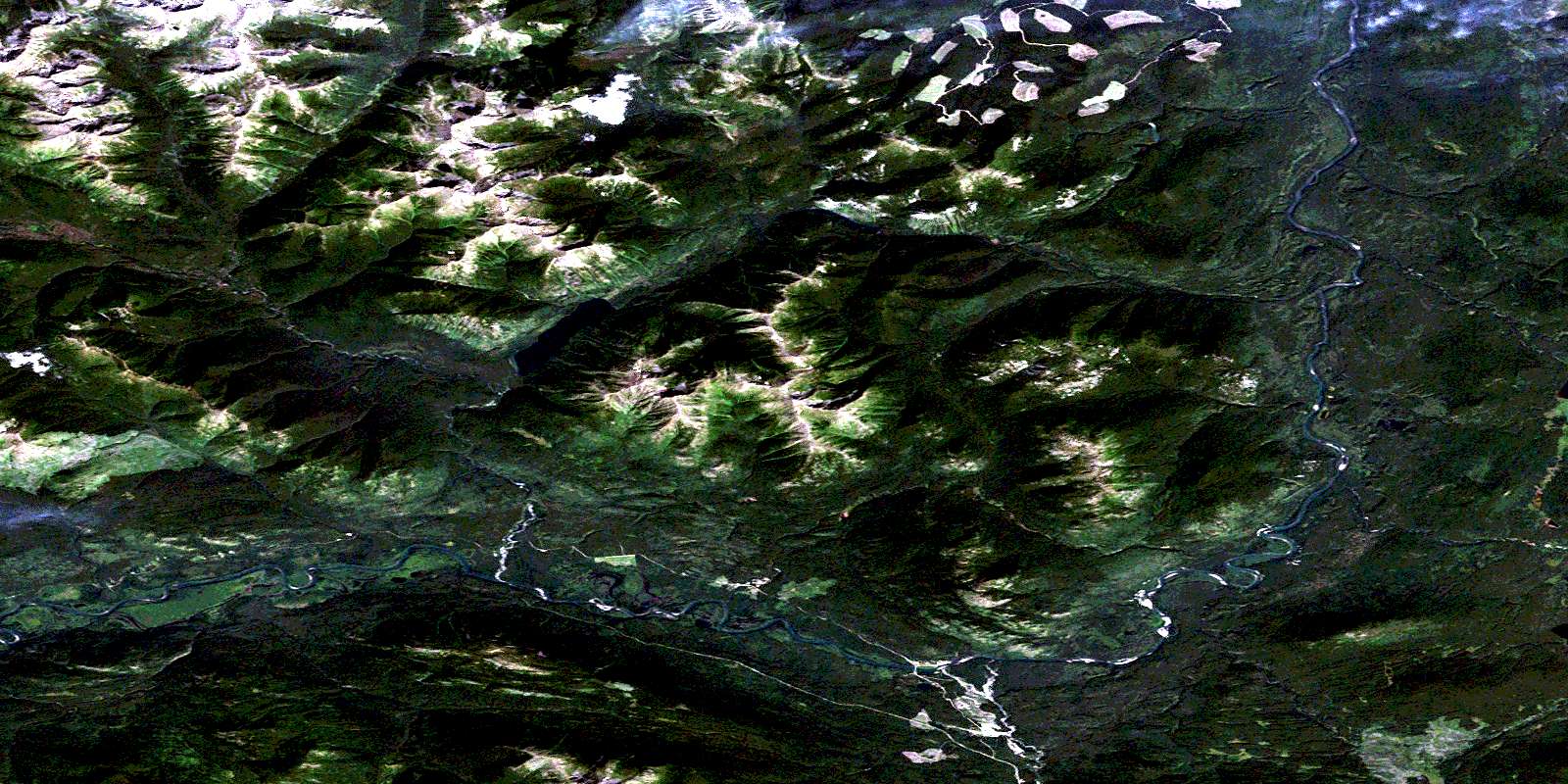
Germansen Landing Satellite Imagery
To view this satellite map, mouse over the air photo on the right.
You can also download this satellite image map for free:
093N15 Germansen Landing high-resolution satellite image map.
Maps for the Germansen Landing aerial map sheet 093N15 at 1:50,000 scale are also available in these versions:
Germansen Landing Surrounding Area Aerial Photo Maps
 |
 |
 |
 |
 |
 |
 |
 |
 |
 |
 |
 |
 |
 |
 |
 |
© Department of Natural Resources Canada. All rights reserved.
Germansen Landing Gazetteer
The following places can be found on satellite image map 093N15 Germansen Landing:
Germansen Landing Satellite Image: Indian Reserves
North Tacla Lake Indian Reserve 12Réserve indienne North Tacla Lake 12
Germansen Landing Satellite Image: Lakes
Blue LakeCrater Lake
Echo Lake
Nina Lake
Otter Lakes
Germansen Landing Satellite Image: Mountains
Blue Grouse MountainFinlay Ranges
Gromet Hill
Hogem Ranges
Mount Kison
Mount Routh
Omineca Mountains
Pillow Ridge
Plughat Mountain
Razorback Mountain
Swannell Ranges
Wolverine Range
Germansen Landing Satellite Image: Major municipal/district area - major agglomerations
Regional District of Bulkley-NechakoGermansen Landing Satellite Image: Conservation areas
Omineca ParkGermansen Landing Satellite Image: Rivers
3 Mile CreekBig Creek
Cook Creek
Echo Creek
Evans Creek
Germansen River
Goat Creek
Henschel Creek
Jackfish Creek
Nina Creek
Omineca River
Plughat Creek
Porter Creek
Rose Creek
Wendy Creek
Germansen Landing Satellite Image: Unincorporated areas
12 MileGermansen Landing
© Department of Natural Resources Canada. All rights reserved.
093N Related Maps:
093N Manson River093N01 Wittsichica Creek
093N02 Chuchi Lake
093N03 Takatoot Lake
093N04 Sakeniche River
093N05 Takla Landing
093N06 Indata Lake
093N07 Klawli Lake
093N08 Sylvester Creek
093N09 Manson Lakes
093N10 Germansen Lake
093N11 Kwanika Creek
093N12 Humphrey Lake
093N13 Ogden Creek
093N14 Discovery Creek
093N15 Germansen Landing
093N16 Moscovite Lakes
