Pugwash Topo Map Online
Download Free Topo Map Sheet 011E13 at 1:50,000 scale
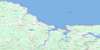
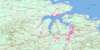
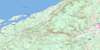
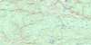
011E13 Pugwash Topo Map
To view this map, mouse over the map preview on the right.
You can also download this topo map for free:
011E13 Pugwash high-resolution topo map image.
Maps for the Pugwash topo map sheet 011E13 at 1:50,000 scale are also available in these versions:
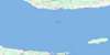
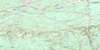
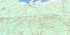
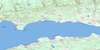
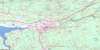
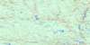
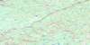
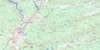
Pugwash Surrounding Area Topo Maps
 |
 |
 |
 |
 |
 |
 |
 |
 |
 |
 |
 |
 |
 |
 |
 |
© Department of Natural Resources Canada. All rights reserved.
Pugwash Gazetteer
The following places can be found on topographic map sheet 011E13 Pugwash:
Pugwash Topo Map: Bays
Baie VerteBennetts Creek
Camerons Creek
Deep Cove
Dochertys Creek
Fox Creek
Golfe du Saint-Laurent
Goose Creek
Gordons Creek
Gulf of St. Lawrence
Matheson Cove
Mattinson Cove
McPherson Creek
Mud Creek
Pugwash Basin
Pugwash Harbour
Pugwash Road
Scale Creek
Stewarts Creek
Toney Creek
Wallace Bay
Wallace Harbour
Pugwash Topo Map: Beaches
Cameron BeachCrescent Beach
Heather Beach
Mitchells Beach
Philip Bar
Pugwash Bar
Pugwash Topo Map: Capes
Aggermore PointAndersons Point
Annabelle Blacks Point
Bergeman Point
Bergmans Point
Biglow Point
Birch Head
Boss Point
Boss Spit
Chapel Point
Coldspring Head
Cunard Point
Fishing Point
Fox Point
Goose Point
Hussey Point
Jackson Point
Jacksons Point
Lewis Head
MacLeans Point
Marsh Point
Marsh Point
McLean Point
McNutts Point
Moore Point
Oxley Point
Page Point
Pineo Point
Pugwash Point
Roche Head
Rodger Point
Scale Point
Steven Point
Stevens Point
Stewarts Point
Toney Point
Pugwash Topo Map: Channels
Détroit de NorthumberlandNorthumberland Strait
The Narrows
Pugwash Topo Map: Falls
Hannons FallsPugwash Topo Map: Forests
Mansfield WoodsPugwash Topo Map: Geographical areas
CumberlandPugwash Topo Map: Islands
Coney IslandGoose Islands
Mitchells Island
Victoria Island
Pugwash Topo Map: Lakes
DeWolf LakeEel Lake
Freshwater Lake
Lake Killarney
McLeod Lake
Pineo Lake
Ross Lake
Simpson Lake
Simpsons Lake
Williams Lake
Pugwash Topo Map: Mountains
Leicester RidgeMount Pleasant
Pugwash Topo Map: Major municipal/district area - major agglomerations
CumberlandPugwash Topo Map: Conservation areas
Amherst Shore Provincial ParkGulf Shore Provincial Park
Heather Beach Provincial Park
Northport Beach Provincial Park
Réserve nationale de faune de Wallace Bay
Shinimicas Provincial Park
Wallace Bay National Wildlife Area
Pugwash Topo Map: Rivers
Akerley BrookAkerley Creek
Angus Mill Brook
Annabelles Brook
Bear Brook
Beharrell Brook
Beherrel Brook
Beherrel Brook
Big Hollow Brook
Black Brook
Bland Brook
Britton Brook
Brown Brook
Brown Brook
Burntwood Creek
Canfield Creek
Canfields Brook
Canfields Creek
Carter Brook
Chapman Brook
Chapman Brook
Chestnut Brook
Chisholm Brook
Colburn Brook
Conn Brook
Conns Brook
De Wolf Brook
De Wolfs Brook
Deep Hollow Brook
DeWolf Brook
DeWolf Brook
Dickson Brook
Dickson Brook
Dobson Brook
Dochertys Brook
Dochertys Brook
Dogden Brook
Doherty Brook
Doyle Brook
Duck Creek
Eel Creek
Emery Creek
Fisher Brook
Fitzsimmons Brook
Forshner Brook
George O. Brook
Gload Creek
Goose Creek
Goose River
Gordon Brook
Gordon Brook
Gordons Brook
Grady Brook
Hackney Creek
Henderson Brook
Henderson Creek
Holt Mill Brook
Howel Brook
Hurd Brook
Hurd Brook
Ibbitson Brook
John Smith Brook
Little River
Lowther Brook
Matheson Brook
McCloskey Brook
McElmon Brook
McMillan Brook
Meadow Brook
Meadow Brook
Meads Brook
Milltown Brook
Mud Brook
Mud Creek
Oulton Creek
Oultons Brook
Oxley Creek
Peers Creek
Pineo Brook
Plaster Creek
Poplar Brook
Poplar Brook
Pugwash River
Purdy Brook
River Philip
Rockwell Brook
Sam Moore Brook
Scott Brook
Seaman Brook
Shinimicas River
Shinimicas River
Shinimikas River
Still Brook
Tidemill Brook
Tidnish River
Treen Brook
Tuttle Brook
Wallace River
West Brook
Pugwash Topo Map: River features
Camp Ground PoolHowards Pool
Kerrs Bridge Pool
Pugwash Topo Map: Shoals
Ballast GroundFanning Ground
Hape Reef
Jackson Reef
Lewis Reef
MacLeans Reef
Pugwash Reef
Rocky Ledge
The Chambers
The Hickey
Pugwash Topo Map: Unincorporated areas
Amherst HeadAmherst Shore
Beckwith
Beecham Settlement
Cameron Beach
Carrington
Chapman Settlement
Conn Mills
Conns Mills
East Leicester
East Linden
Fountain Road
Gulf Shore
Hartford
Head of Amherst
Head of Wallace Bay
Heather Beach
Irishtown Road
Kerrs Mill
Kerrs Mill Road
Kolbec
Kolbeck
Lake Killarney
Linden
Linden
Little River
Lorneville
Lower Gulf Shore
Lower Shinimecas
Lower Shinimicas
Mansfield
Middleboro
Miller Road
Mount Pleasant
North Middleboro
North Wallace Bay
Northport
Port Howe
Port Philip
Pugwash Junction
Pugwash Point
Pugwash River
Ripley Loop
Riverview
Rockley
Rockly
Roslin
Rossendale
Seagrove
Shinimecas Bridge
Shinimicas Bridge
Six Mile Road
South Middleboro
South Pugwash
South Wallace Bay
Upper Gulf Shore
Upper Linden
Wallace Bay
Wallace Bridge
Wallace Bridge
Wallace Bridge Station
Wallace River
West Linden
West Pugwash
Pugwash Topo Map: Low vegetation
Ben Smith MeadowDickson Meadows
Hingley Meadow
Lowther Meadows
Murray Carter Meadow
Roberts Meadows
Thompson Reid Meadow
Pugwash Topo Map: Villages
Pugwash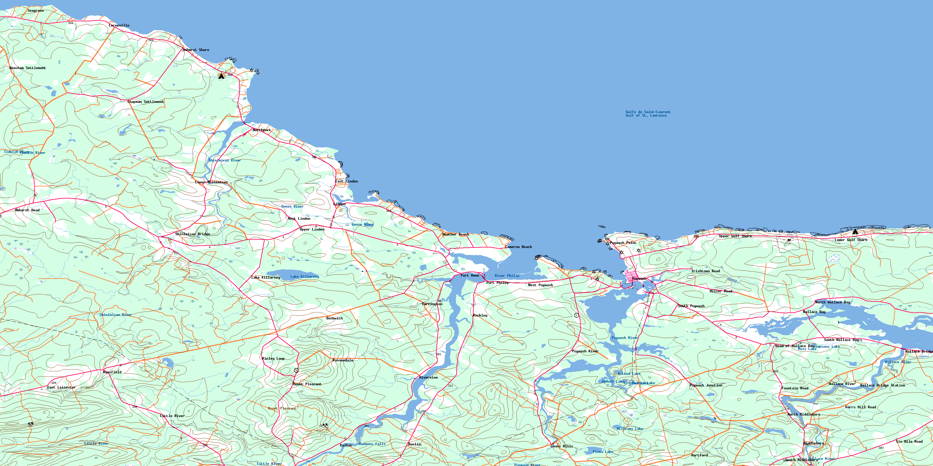
© Department of Natural Resources Canada. All rights reserved.
011E Related Maps:
011E Truro011E01 Liscomb
011E02 Upper Musquodoboit
011E03 Shubenacadie
011E04 Kennetcook
011E05 Bass River
011E06 Truro
011E07 Hopewell
011E08 Lochaber
011E09 Merigomish
011E10 New Glasgow
011E11 Tatamagouche
011E12 Oxford
011E13 Pugwash
011E14 Malagash
011E15 Pictou Island
011E16 Malignant Cove
