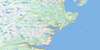
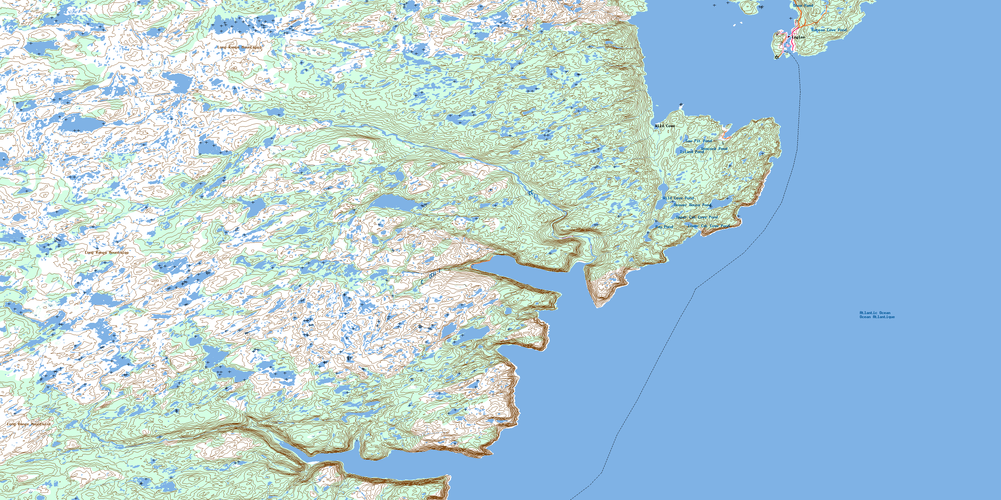
Englee Topo Map Online
Download Free Topo Map Sheet 012I09 at 1:50,000 scale
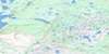
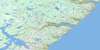
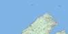
012I09 Englee Topo Map
To view this map, mouse over the map preview on the right.
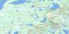
You can also download this topo map for free:
012I09 Englee high-resolution topo map image.
Maps for the Englee topo map sheet 012I09 at 1:50,000 scale are also available in these versions:
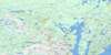
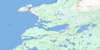
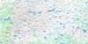
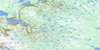
Englee Surrounding Area Topo Maps
 |
 |
 |
|
 |
 |
 |
|
 |
 |
 |
|
 |
 |
 |
 |
© Department of Natural Resources Canada. All rights reserved.
Englee Gazetteer
The following places can be found on topographic map sheet 012I09 Englee:
Englee Topo Map: Bays
Aiguillette's (Englee) HarbourBarbers Cove
Big Cove
Boat Cove
Canada Bay
Canaries Harbour
Cape Tug Cove
Cat Cove
Cat Cove Bight
Eastern Arm
Englee Harbour
Fardys Cove
Fourché Harbour
Green Cove
Grevigneux Harbour
Handy Harbour
Hauling Cove
Hooping Harbour
Landing Cove
Leather Shoe Pond Cove
Little Canada Harbour
Little Hooping Harbour
Little Hooping Harbour
Northeast Cove
Northern Arm
Northern Arm
Seal Cove
Silver Cove
Sugarloaf Cove
Torrent Cove
Twillingate Cove
Wild Cove
Englee Topo Map: Capes
Bide HeadBig Burnt Head
Big Cove Head
Big Head
Burnt Point
Burnt Point
Canada Head
Canada White Point
Cape Daumalen
Cape Tasse
Cape Tasse
Cape Tug
Chant du Merle
Duckbill Point
Eastern Head
Flagstaff Point
Fourché Point
Granite Point
Green Head
Grevigneux Point
Handy Harbour Head
Hells Mouth Point
Lands End
Little Burnt Head
Northern Peninsula
Parsons Head
Squally Point
Stony Point
Twillingate Head
Twillingate Head
White Point
Wild Cove Point
Englee Topo Map: Cliffs
Mustard CliffSugar Loaf
Englee Topo Map: Forests
Black WoodsBlue Skirt
Charlies Skirt
Georges Woods
Halfway Woods
Englee Topo Map: Islands
Barred IslandEnglee Island
Flat Island
Gouffre Island
Green Island
White Island
Englee Topo Map: Lakes
Bateau Cove PondBear Pond
Beaver House Pond
Big Bottom Ponds
Big Cove Pond
Big Pond
Biggins Pond
Bight Pond
Breens Pond
Charlies Pond
Chimney Waters
Cozy Pond
Doris Pond
Duck Pond
Dung Hill Pond
Fox Pond
Freds Pond
Georges Lakes
Gillards Pond
Gords Pond
Half Hour Pond
Harriets Pond
Hells Mouth Pond
Hencock Pond
Island Cove Pond
Island Pond
Island Pond
Lower Cat Cove Pond
Lower Pond
Lumpus Pond
Mistake Pond
Ocean Pond
One Tree Pond
Pay Pond
Run By Guess
Saw Pit Pond
Shoe Pond
Small Seal Cove Pond
Twillingate Pond
Upper Cat Cove Pond
Upper Pond
Venison Pond
Wild Cove Pond
Englee Topo Map: Mountains
Cape Goboso SummitDuck Ridge
Dung Hill
Eastern Hill
Fox Ridge
Joyces Lookout
Liges Hill
Lion Hill
Long Range Mountains
Northern Hay Peak
Pebble Hill
Southern Hay Peak
Toms Knob
Western Hay Peak
Whalesback
Englee Topo Map: Rivers
Hencock BrookHenry Cassells Brook
Henry Comptons Brook
Hooping Harbour Brook
Englee Topo Map: Shoals
Aiguillettes RockClark Rock
Cod Rock
Hermit Rock
Herring Shoal
Tasse Shoal
Turtle Rocks
Watchers
Wolf Shoal
Englee Topo Map: Towns
EngleeEnglee Topo Map: Unincorporated areas
Canada HarbourHooping Harbour
Wild Cove
Williamsport
© Department of Natural Resources Canada. All rights reserved.
