Cartwright Topo Map Online
Download Free Topo Map Sheet 013H11 at 1:50,000 scale
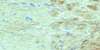
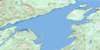
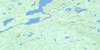
013H11 Cartwright Topo Map
To view this map, mouse over the map preview on the right.
You can also download this topo map for free:
013H11 Cartwright high-resolution topo map image.
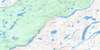
Maps for the Cartwright topo map sheet 013H11 at 1:50,000 scale are also available in these versions:
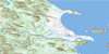
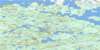
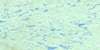
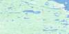
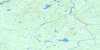
Cartwright Surrounding Area Topo Maps
 |
 |
 |
 |
 |
 |
 |
 |
 |
 |
 |
 |
 |
 |
 |
 |
© Department of Natural Resources Canada. All rights reserved.
Cartwright Gazetteer
The following places can be found on topographic map sheet 013H11 Cartwright:
Cartwright Topo Map: Bays
Big Charleys CoveBirchy Cove
Burns Harbour
Callaways Cove
Cartwright Harbour
Charlies Cove
Coopers Cove
Duck Island Cove
Eagle River Harbour
East Arm
Elsons Cove
Groves Harbour
Hamels Cove
Kelloways Cove
Little Charleys Cove
Main Tickle Cove
Mary Brown Cove
Mickles Point Cove
Mountain Cove
Muddy Bay
Neck Path Cove
Red Island Cove
Sals Cove
Sandwich Bay
Savage Cove
Seal Cove
Shoal Cove
Southeast Arm
The Harbour
Wharf Point Cove
Cartwright Topo Map: Capes
American PointBerry Point
Black Head
Burn Point
Candys Point
Coopers Point
Crooked House Point
Crow Head
Curlew Point
Damsels Point
Deep Water Point
Diver Island Head
Dove Brook Point
Dove Point
Flagstaff Point
Fowlows Point
Fox Point
Georges Head
Grants Point
Harrys Point
Jack Coles Point
James Point
Jones Point
Little Wharf
Longstretch Point
Lower Charleys Cove Point
Main Tickle Point
Merlin Point
Mickles Point
Narrows Head
Narrows Point
Neck Path Cove Point
Perrys Head
Porters Point
Salomes Point
Separation Point
Shelmucks Point
Shermoks Point
Solomons Point
Southeast Point
Summer House Point
Upper Charleys Cove Point
Waterloo Point
Wharf Point
White Head
Winters Point
Cartwright Topo Map: Channels
Diver TickleFavorite Tickle
Sandwich Tickle
The Narrows
Cartwright Topo Map: Cliffs
The CliffsCartwright Topo Map: Islands
Bay IslandsBurned Island
Burnt Island
Cooper Island
Diver Island
Duck Island
Earl Island
Eider Island
Glumby Island
Glumby Island
Green Island
Lumpy Island
Morris Island
Red Island
Red Island
Rum Island
Saddle Island
Savage Cove Islands
WoodyIsland
Cartwright Topo Map: Lakes
Big Coombs PondBill Learnings Pond
Birdets Brook Pond
Black Duck Pond
Burdettes Brook Pond
Coombs Steady
Duck Island Big Pond
Ellis Pond
Ice Pond
North Round Pond
Salt Pond
Salt Water Pond
Cartwright Topo Map: Mountains
Birchy HillCaribou Castle
Curlew Hill
Flagstaff Hill
Longstretch Hill
Mount McKay
Portage Hill
Savage Cove Hills
The Mountain
White Hill
Cartwright Topo Map: Rivers
Andrew BrookBarrow Brook
Big Brook
Birdets Brook
Bob and Joyces Brook
Bob Menjoys Brook
Burdettes Brook
Burned Island Brook
Burnt Island Brook
Candys Brook
Churchills Brook
Coombs Brook
Coombs Brook
Dove Brook
Dykes River
Eagle River
Elsons Path
Fancys Brook
Goodenough Brook
Jackies Brook
Jacks Brook
Jackys Brook
John Coles Brook
Kettle Brook
Martins Brook
Middle Brook
Muddy Bay Brook
Nevershakes Brook
Red Island Brook
White Bear River
Woody Island Brook
Cartwright Topo Map: Shoals
Groves RockGull Rock
Hatten Shoal
Main Tickle Rock
Swallow Bank
Woody Island Rock
Cartwright Topo Map: Towns
CartwrightCartwright Topo Map: Unincorporated areas
BelfryDove Brook
Eagle River
Muddy Bay
Separation Point
Cartwright Topo Map: Low vegetation
Lindsays Marsh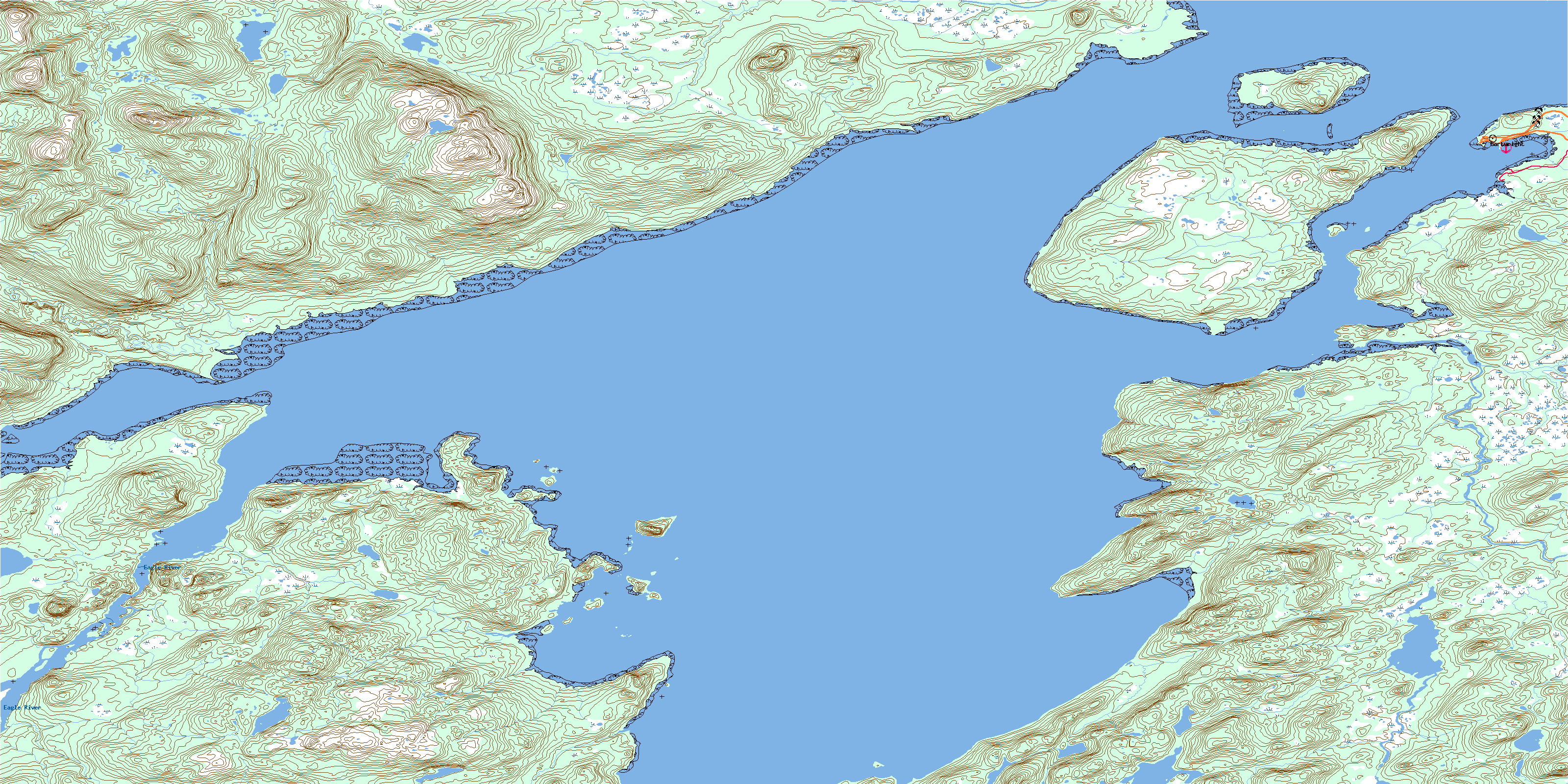
© Department of Natural Resources Canada. All rights reserved.
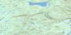
013H Related Maps:
013H Cartwright013H01 No Title
013H02 No Title
013H03 No Title
013H04 No Title
013H05 No Title
013H06 Paradise River
013H07 No Title
013H08 Porcupine Bay
013H09E Sand Hill Cove
013H09W Sand Hill Cove
013H10 Hare Harbour
013H11 Cartwright
013H12 Barron Lake
013H13E North River
013H13W North River
013H14E Trunmore Bay
013H14W Trunmore Bay
013H15E Packs Harbour
013H15W Packs Harbour
013H16W Grady Harbour
