Port Elgin Topo Map Online
Download Free Topo Map Sheet 021I01 at 1:50,000 scale
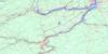
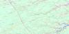
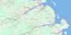
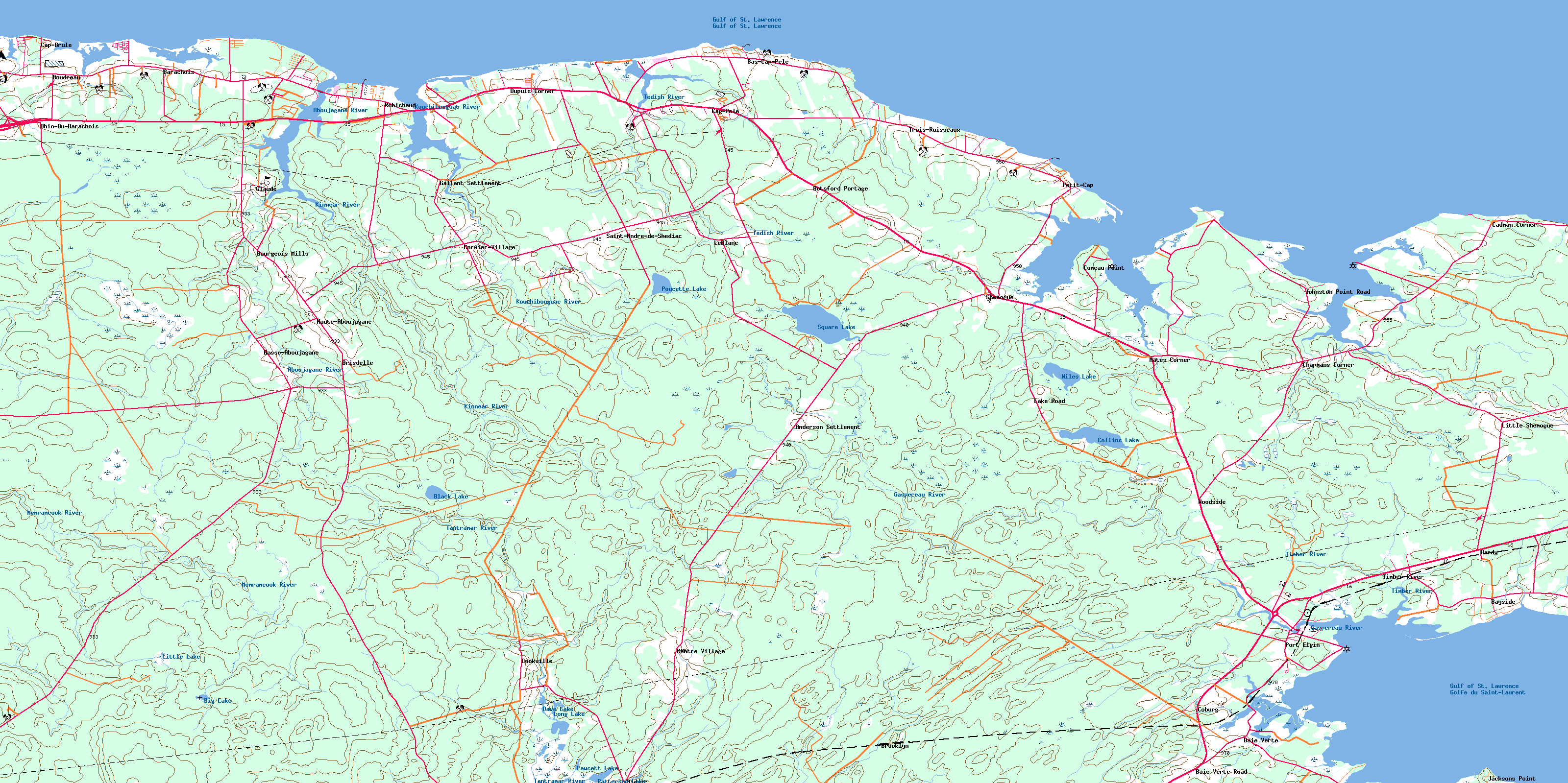
021I01 Port Elgin Topo Map
To view this map, mouse over the map preview on the right.
You can also download this topo map for free:
021I01 Port Elgin high-resolution topo map image.
Maps for the Port Elgin topo map sheet 021I01 at 1:50,000 scale are also available in these versions:
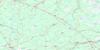
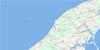
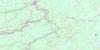
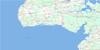
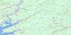
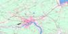
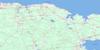
Port Elgin Surrounding Area Topo Maps
 |
 |
 |
 |
 |
 |
 |
 |
 |
 |
 |
 |
 |
 |
 |
 |
© Department of Natural Resources Canada. All rights reserved.
Port Elgin Gazetteer
The following places can be found on topographic map sheet 021I01 Port Elgin:
Port Elgin Topo Map: Bays
Amos CreekBaie Verte
Baie Verte
Baie Verte Creek
Big Cove
Fox Creek
Lac des Boudreau
Little Cove
Little Shemogue Harbour
McKays Creek
Monash Cove
Otter Creek
Shediac Bay
Shemogue Harbour
Verte Creek
Port Elgin Topo Map: Beaches
Grants BeachMason Beach
Monash Point
Murray Beach
Point Monash
Woods Beach
Port Elgin Topo Map: Capes
Amos PointBoudreau Cape
Bouleaux Point
Cadman Point
Cap Bimet
Cap Brûlé
Cap Pelé
Cape Bald
Cape Bimet
Cape Brûlé
Chignecto Isthmus
Comeau Point
Danks Point
Demoiselles Point
Duguay Point
Fagan Point
Fort Monckton Point
Gaspereau Point
Goodwin Point
Goodwins Point
Grant Point
Indian Point
Jacksons Point
Johnston Point
Little Cape
Pointe aux Bouleaux
Shemogue Head
Tidnish Head
Tidnish Head
Port Elgin Topo Map: Channels
Détroit de NorthumberlandNorthumberland Strait
Port Elgin Topo Map: Geographical areas
BotsfordCumberland
Dorchester
Sackville
Shediac
Westmorland
Westmorland
Port Elgin Topo Map: Islands
Birch IslandFletcher Island
Port Elgin Topo Map: Lakes
Big LakeBlack Lake
Collins Lake
Dave Lake
Eastern Barachois
Fawcett Lake
Gueguen Lake
L'Aboiteau
Little Lake
Long Lake
Long Lake
Niles Lake
North Lake
Patterson Lake
Petit Barachois
Poucette Lake
Round Lake
Square Lake
Western Barachois
Port Elgin Topo Map: Major municipal/district area - major agglomerations
CumberlandPort Elgin Topo Map: Conservation areas
Fort Gaspareaux National Historic Site of CanadaLieu historique national du Canada du Fort-Gaspareaux
Vieille église de Saint-Henri de Barachois
Port Elgin Topo Map: Rivers
Aboujagane RiverAboushagan River
Allen Brook
Avard Brook
Baie Verte Creek
Baxter Brook
Bear Creek
Blacklock Brook
Chapman Brook
Chappell Brook
Clarke Brook
Clarken Brook
Copp Brook
Crystal Brook
East Brook
Fardy Brook
Friel Brook
Gaspereau River
Grant Creek
Harper Brook
Hartley Brook
Jenks Brook
Kinnear River
Kouchibouguac River
Lake Brook
Léger Brook
Little Bobby Kaye Brook
Little Cape Bridge Brook
Little Cape Brook
Long Lake Brook
Louis Brook
Matt Brook
McMorris Brook
Memramcook River
Mill Brook
Mill Brook
Mill Creek
Musquash Brook
Niles Brook
Otter Creek
Prairie Brook
Robinson Brook
Ruisseau des Gaudet
Simpson Brook
South Branch Memramcook River
South Memramcook River
Stony Creek
Tantramar River
Tedish Creek
Tedish River
Timber River
Trenholm Brook
Verte Creek
West Brook
Port Elgin Topo Map: Unincorporated areas
AndersonAnderson Settlement
Baie Verte
Baie Verte Road
Baie-Verte
Barachois
Bas-Cap-Pelé
Basse-Aboujagane
Bayside
Botsford Portage
Boudreau
Bourgeois Mills
Brooklyn
Cadman Corner
Cap Pelé
Cap-Brûlé
Cape Bald
Cape Brûlé
Centre Village
Chapman
Chapmans Corner
Cobourg
Coburg
Comeau Point
Cookville
Cormier Village
Cormier-Village
Drisdelle
Dupuis Corner
Gallant Settlement
Glaude
Hardy
Haute-Aboujagane
Jacksons Point
Johnston Point Road
Lake Road
Leblanc
LeBlanc
Léger Brook
Little Cape
Little Shemogue
Lower Aboushagan
Lower Cape Bald
Mates Corner
Midgic
Ohio Du Barachois
Ohio-Du-Barachois
Petit-Cap
Robichaud
Saint-André-de-Shédiac
Shemogue
St. André de Shédiac
St-André-de-Shédiac
St-Henri-de-Barachois
Timber River
Trois-Ruisseaux
Upper Aboushagan
Upper St-André
Woodside
Port Elgin Topo Map: Villages
Cap-PeleCap-Pelé
Memramcook
Port Elgin
© Department of Natural Resources Canada. All rights reserved.
021I Related Maps:
021I Moncton021I01 Port Elgin
021I02 Moncton
021I03 Salisbury
021I04 Chipman
021I05 Salmon River Road
021I06 Harcourt
021I07 Buctouche
021I08 Cape Egmont
021I09 O'Leary
021I10 Richibucto
021I11 Rogersville
021I12 Blackville
021I13 Newcastle
021I14 Kouchibouguac
021I15 Pointe-Sapin
021I16 Tignish
