Cape Egmont Topo Map Online
Download Free Topo Map Sheet 021I08 at 1:50,000 scale
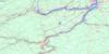
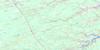
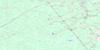
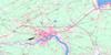
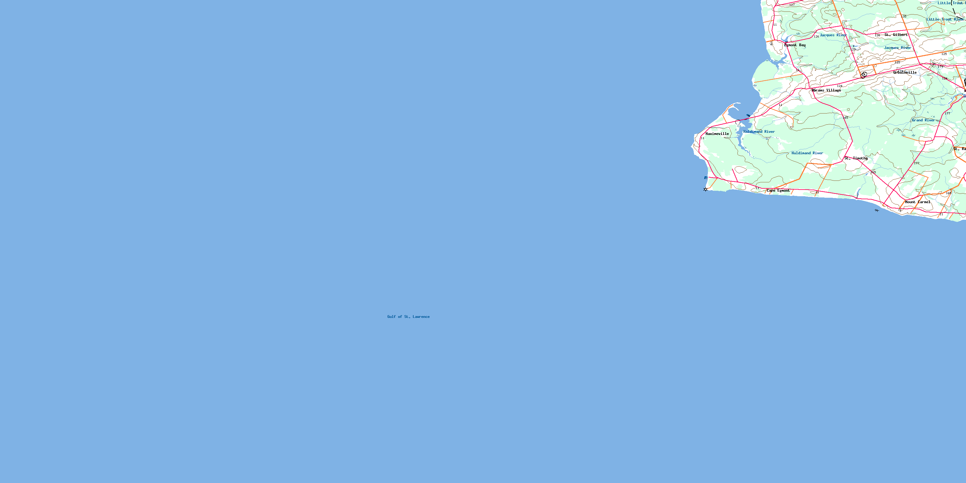
021I08 Cape Egmont Topo Map
To view this map, mouse over the map preview on the right.
You can also download this topo map for free:
021I08 Cape Egmont high-resolution topo map image.
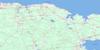
Maps for the Cape Egmont topo map sheet 021I08 at 1:50,000 scale are also available in these versions:
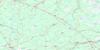
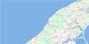
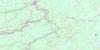
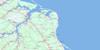
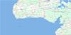
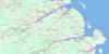
Cape Egmont Surrounding Area Topo Maps
 |
 |
 |
 |
 |
 |
 |
 |
 |
 |
 |
 |
 |
 |
 |
 |
© Department of Natural Resources Canada. All rights reserved.
Cape Egmont Gazetteer
The following places can be found on topographic map sheet 021I08 Cape Egmont:
Cape Egmont Topo Map: Bays
Fishing CoveGolfe du Saint-Laurent
Gulf of St. Lawrence
Shediac Bay
Cape Egmont Topo Map: Capes
Cap EgmontCape Egmont
Fifteen Point
Red Head
Cape Egmont Topo Map: Channels
Détroit de NorthumberlandDétroit de Northumberland
Northumberland Strait
Northumberland Strait
Cape Egmont Topo Map: Geographical areas
Lot 14Lot 15
Lot 16
Cape Egmont Topo Map: Islands
Prince Edward IslandCape Egmont Topo Map: Lakes
Arsenault PondBarlows Pond
Cape Egmont Topo Map: Provinces
Île-du-Prince-ÉdouardPrince Edward Island
Cape Egmont Topo Map: Rivers
Cross CreekCross River
Ellis River
Grand River
Haldimand Creek
Haldimand River
Jacques Creek
Jacques River
Little Trout River
Cape Egmont Topo Map: Shoals
Dutchman RockEgmont Bank
Medea Rock
Cape Egmont Topo Map: Unincorporated areas
Abram VillageBaie-Egmont
Cape Egmont
Cap-Egmont
Egmont Bay
Fifteen Point
Maxiamville
Maxime Ville
Maximeville
Maximville
Mont-Carmel
Mount Carmel
St. Gilbert
St. Raphael
St. Timothy
St-Gilbert
St-Raphaël
St-Timothée
Urbainville
Urbinville
Wellington
Wellington Station
Cape Egmont Topo Map: Villages
Abrams VillageAbram-Village
Richmond
Wellington
© Department of Natural Resources Canada. All rights reserved.
021I Related Maps:
021I Moncton021I01 Port Elgin
021I02 Moncton
021I03 Salisbury
021I04 Chipman
021I05 Salmon River Road
021I06 Harcourt
021I07 Buctouche
021I08 Cape Egmont
021I09 O'Leary
021I10 Richibucto
021I11 Rogersville
021I12 Blackville
021I13 Newcastle
021I14 Kouchibouguac
021I15 Pointe-Sapin
021I16 Tignish
