Pointe-Sapin Topo Map Online
Download Free Topo Map Sheet 021I15 at 1:50,000 scale
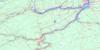
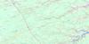
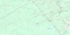
021I15 Pointe-Sapin Topo Map
To view this map, mouse over the map preview on the right.
You can also download this topo map for free:
021I15 Pointe-Sapin high-resolution topo map image.
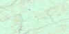
Maps for the Pointe-Sapin topo map sheet 021I15 at 1:50,000 scale are also available in these versions:
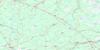
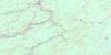
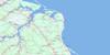
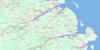
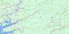
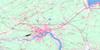
Pointe-Sapin Surrounding Area Topo Maps
 |
 |
 |
 |
 |
 |
 |
 |
 |
 |
 |
 |
 |
 |
 |
 |
© Department of Natural Resources Canada. All rights reserved.
Pointe-Sapin Gazetteer
The following places can be found on topographic map sheet 021I15 Pointe-Sapin:
Pointe-Sapin Topo Map: Bays
Anse à Simon à MichelBaie de Saint-Louis
Grande Anse
Gulf of St. Lawrence
Kouchibouguac Bay
Kouchibouguac Bay
Palmer Creek
Pollys Creek
Pointe-Sapin Topo Map: Beaches
Callanders BeachKellys Beach
Kouchibouguac Beach
North Beach
North Kouchibouguac Beach
North Kouchibouguac Dune
North Richibucto Beach
North Richibucto Dune
South Kouchibouguac Beach
South Kouchibouguac Dune
Pointe-Sapin Topo Map: Capes
Black River PointNorth Cape
Pointe à Auguste
Pointe à Maxime
Pointe de Pruche
Pointe de Terre-noire
Pointe Sapin
South Cape
Pointe-Sapin Topo Map: Channels
Blacklands GullyDétroit de Northumberland
Goulet de Saint-Louis
Goulet de Terre-noire
Les Étroits
Little Gully
Northumberland Strait
Pointe-Sapin Topo Map: Geographical areas
CarletonHardwicke
Kent
Northumberland
Saint-Louis
Pointe-Sapin Topo Map: Islands
Île à CaféPointe-Sapin Topo Map: Lakes
Kouchibouguac LagoonKouchibouguacis Lagoon
Lac à Livain
Lac des Irlandais
Le Barachois
Northern Lagoon
Superior Lake
Sutherland Lake
Pointe-Sapin Topo Map: Conservation areas
Kouchibouguac National Park of CanadaParc national du Canada Kouchibouguac
Pointe-Sapin Provincial Park
Pointe-Sapin Topo Map: Rivers
Black RiverCarrigan Brook
East Branch Eel River
Eel River
Fontaine Creek
Kellock Creek
Kollock Creek
Kouchibouguac River
Kouchibouguacis River
Meadow Brook
Pollys Creek
Portage River
Portage River
Rankin Brook
Rivière à l'Anguille
Rivière au Portage
Rivière au Portage-sud
Rivière Fontaine
Rivière Française
Rivière Saint-Louis
Ruisseau à Baptiste
Ruisseau à Germain
Ruisseau à Maxime
Ruisseau à Petit-Pierre
Ruisseau à Pierrot
Ruisseau des Canards
Ruisseau des Major
South Forks Creek
Pointe-Sapin Topo Map: Unincorporated areas
Cap-de-Saint-LouisClaire Fontaine
Claire-Fontaine
Fontaine
Guimond
Guimond-Village
Loggiecroft
Logiecroft
Lower Sapin
Middle Kouchibouguac
Petit-Large
Point Sapin Centre
Pointe-Sapin
Pointe-Sapin-Centre
Rivière-au-Portage
Saint Olivier
Saint-Camille
Saint-Oliver
Saint-Olivier
South Kouchibouguac
St. Louis Cape
Pointe-Sapin Topo Map: Low vegetation
Carrigan PlainEel River Plain
Fontaine Macôque
Grand macôque Rond
Grand mocauque Rond
Mocauque de la Pointe-Sapin
Mocauque Fontaine
Point Sapin Plain
Pré à Germain
Round Plain
Terre Noire
Pointe-Sapin Topo Map: Villages
Point Sapin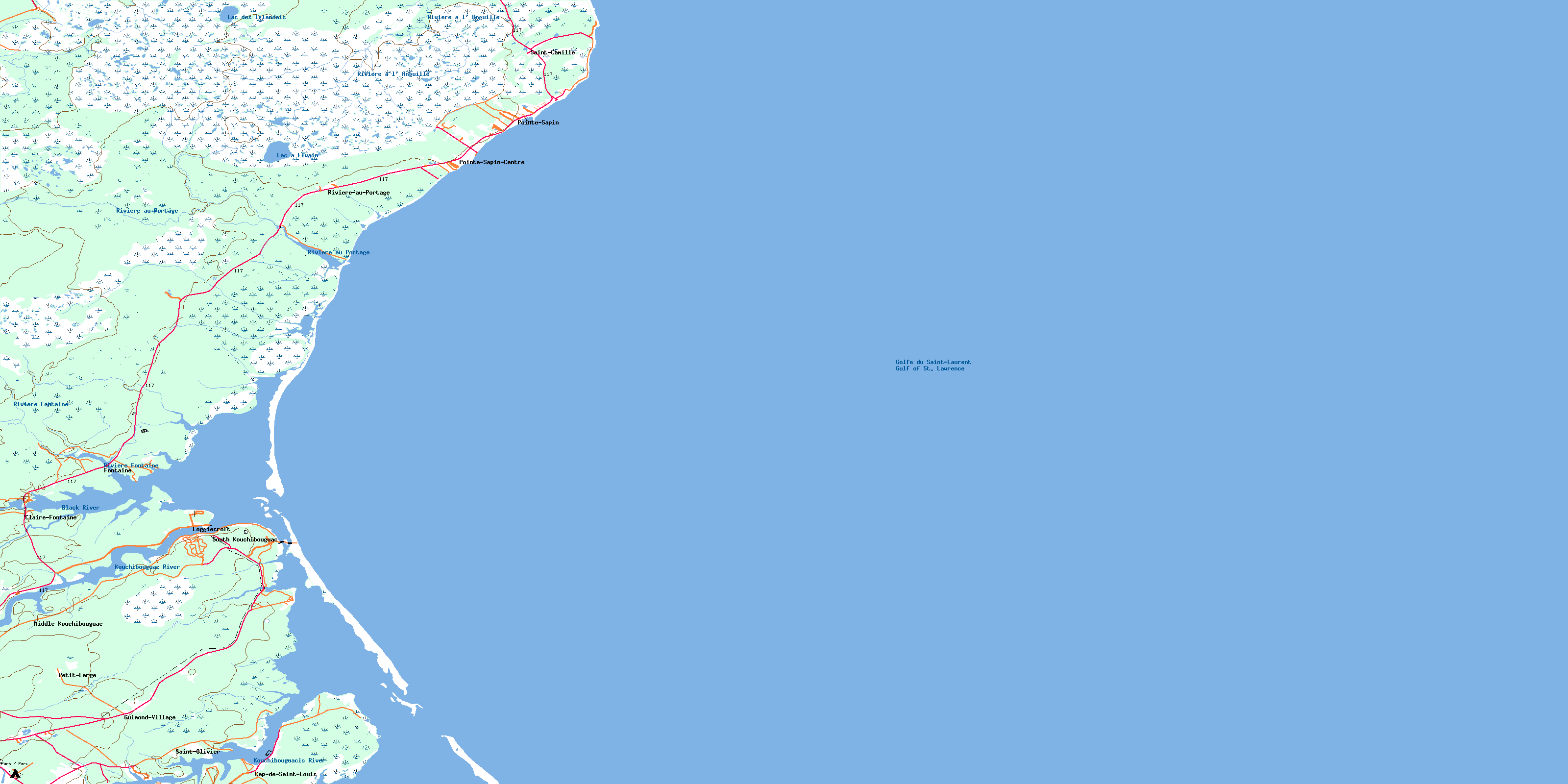
© Department of Natural Resources Canada. All rights reserved.
021I Related Maps:
021I Moncton021I01 Port Elgin
021I02 Moncton
021I03 Salisbury
021I04 Chipman
021I05 Salmon River Road
021I06 Harcourt
021I07 Buctouche
021I08 Cape Egmont
021I09 O'Leary
021I10 Richibucto
021I11 Rogersville
021I12 Blackville
021I13 Newcastle
021I14 Kouchibouguac
021I15 Pointe-Sapin
021I16 Tignish
