Chatham Topo Map Online
Download Free Topo Map Sheet 021P03 at 1:50,000 scale
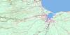
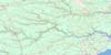
021P03 Chatham Topo Map
To view this map, mouse over the map preview on the right.
You can also download this topo map for free:
021P03 Chatham high-resolution topo map image.
Maps for the Chatham topo map sheet 021P03 at 1:50,000 scale are also available in these versions:
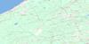
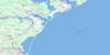
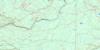
Chatham Surrounding Area Topo Maps
 |
 |
 |
|
 |
 |
 |
|
 |
 |
 |
|
 |
 |
 |
 |
© Department of Natural Resources Canada. All rights reserved.
Chatham Gazetteer
The following places can be found on topographic map sheet 021P03 Chatham:
Chatham Topo Map: Bays
Baie du VinBaie Sainte-Anne
Bay du Vin
Bay du Vin
Bay du Vin Harbour
Big Cove
Gammon Bay
Grand Dune Inlet
Havre du Vin
Mill Cove
Miramichi Bay
Miramichi Bay
Miramichi Inner Bay
Morrison Cove
Murdock Cove
Napan Bay
Neguac Bay
Palmer Cove
Sturgeon Cove
Chatham Topo Map: Beaches
Grant BeachHorse Shoe Bar
Miramichi Beaches
Murdock Beach
Neguac Beach
Washburn Beach
Chatham Topo Map: Capes
Burnt Church PointCheval Point
East Point
Forbes Point
French River Point
Gammon Point
Gardiner Point
Gardiner Spit
Gordon Point
Malcolm Point
McDonald Point
Moody Point
Morin Point
Murdoch Point
Oak Point
Point au Car
Point aux Carr
Point Gardiner
Pointe Morin
Potts Parlour
Robichaud Spit
Rocky Point
St. Andrew Point
St. Andrews Point
Chatham Topo Map: Channels
French ChannelNeguac Gully
Oak Channel
Portage Gully
Portage Island Channel
Sheldrake Channel
Ship Channel
Chatham Topo Map: City
MiramichiChatham Topo Map: Geographical areas
AlnwickChatham
Glenelg
Hardwicke
Newcastle
Northumberland
Chatham Topo Map: Indian Reserves
Burnt Church 14Chatham Topo Map: Islands
Bartibog IslandBay du Vin Island
Egg Island
Fox Island
Grand Dune Island
Hay Island
Lower Portage Island
Middle Island
Portage Island
Sheldrake Island
Chatham Topo Map: Lakes
Chatham LakeChatham Reservoir
Dry Lake
Neguac Lagoon
Chatham Topo Map: Conservation areas
Ancien presbytère St. Michael'sBay du Vin Island Provincial Park Reserve
Église Saints Peter and Paul
Ferme MacDonald
Girouard Shipwreck Site
Lieu de naufrage Girouard
MacDonald Farm
Middle Island Provincial Park
Neguac Provincial Park
Old St. Michael's Rectory
Portage Island National Wildlife Area
Réserve nationale de faune de l'Île-Portage
Saints Peter and Paul Church
Chatham Topo Map: Rivers
Anderson BrookBartibog River
Bay du Vin River
Big Brook
Big Brook
Black Brook
Black River
Burnt Church River
Coltarts Brook
Dennison Creek
Doyles Brook
East Branch Hortons Creek
East Branch Oyster River
Eel River
French River
Gallows Brook
Godins Brook
Goodfellows Brook
Grand Dune Brook
Green Brook
Greystone Brook
Hortons Creek
Indian Brook
Indian Brook
Little Bartibog River
Little Black River
Lyons Brook
McDonald Brook
McEwen Brook
McInnis Brook
Meadow Brook
Mill Brook
Mill Cove Brook
Miramichi River
Murdoch Brook
Murdock Brook
Nadeau Brook
Napan River
Nidoos Creek
North Branch Burnt Church River
North Branch Little Bartibog River
North Burnt Church River
North Little Bartibog River
Oyster River
Oyster River
Phillips Brook
Reserve Brook
Rivière des Caches
Rivière du Cache
Rivière du Vin
Robichaud Brook
Robichaud Creek
South Branch Burnt Church River
South Branch Little Bartibog River
South Burnt Church River
South Little Bartibog River
Sturgeon Creek
Taylor Creek
Wells Brook
West Branch Hortons Creek
West Branch Oyster River
West Oyster River
Whites Brook
Wildcat Brook
Youngs Brook
Chatham Topo Map: Shoals
Grand Dune FlatsHorse Shoe Shoal
Leggett Shoal
Middle Ground
Miramichi Bar
Spit Shoal
St. Andrew Bank
St. Andrews Bank
Chatham Topo Map: Unincorporated areas
AuburnvilleBarryville
Bartibog
Bartibog Bridge
Bay du Vin
Bay du Vin Beach
Black River Bridge
Burnt Church
Centre Napan
Chatham
Curtis Park
Douglastown
Drisdelle Settlement
Eel River Bridge
Ferry Road
Forest Corner
Fowlies Mill
Gregan
Hardwicke
Hexham
Hortons Creek
Lagacéville
Little Bartibog
Little Branch
Loggieville
Lower Napan
Lower Newcastle
Millbank
Miramichi
Moorefield
Morrison Cove
Napan Bay
New Jersey
Oak Point
Point au Car
Point aux Carr
Point Gardiner
Pointe au Quart
Rivière des Caches
Rivière-des-Caches
Robichaud Settlement
Russellville
The Willows
Upper Burnt Church
Upper Napan
Victoria
Village-Saint-Laurent
Village-St-Laurent
Winston
Chatham Topo Map: Villages
Neguac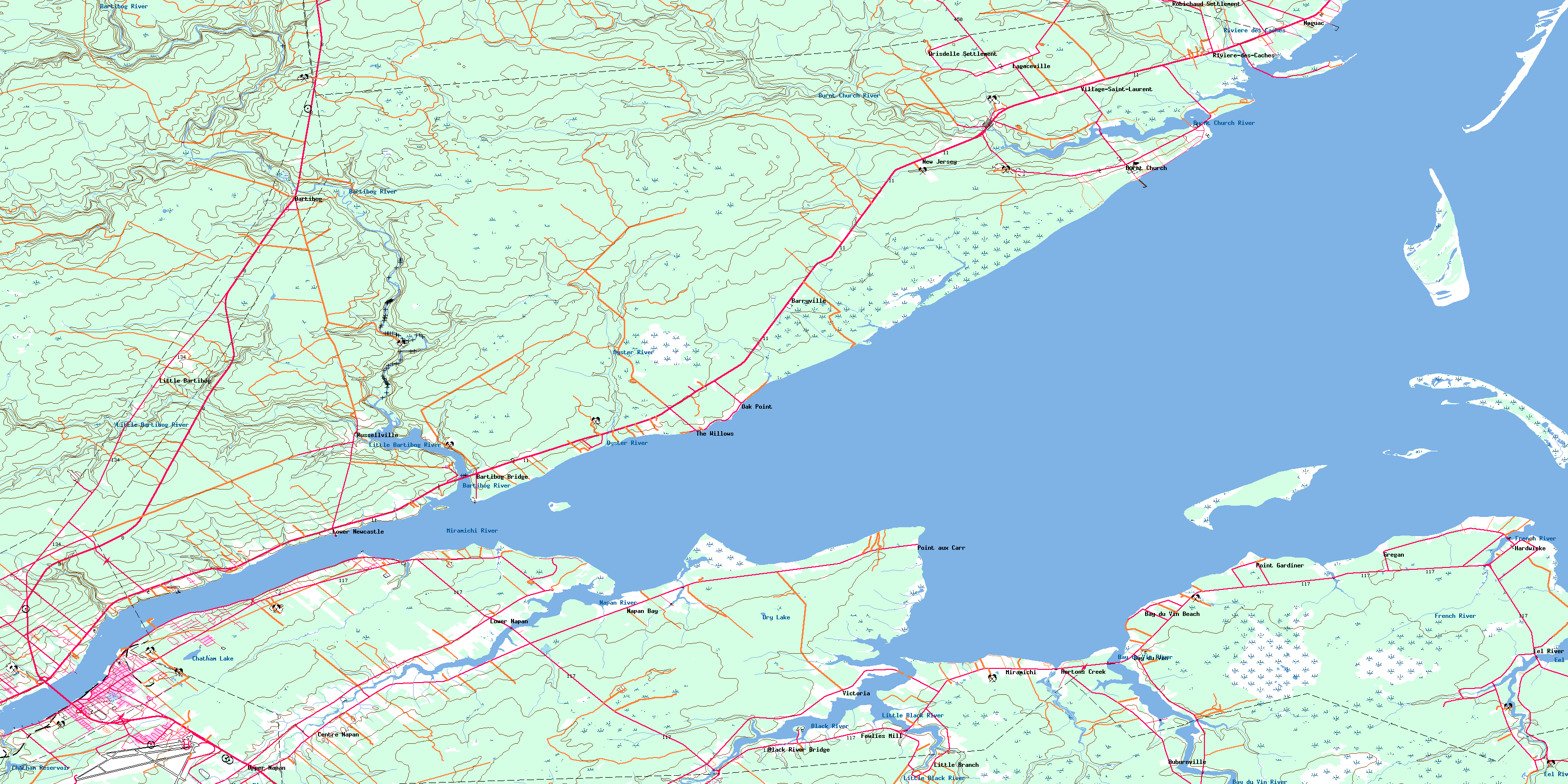
© Department of Natural Resources Canada. All rights reserved.
