Port-Daniel Topo Map Online
Download Free Topo Map Sheet 022A02 at 1:50,000 scale
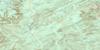
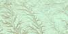
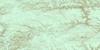
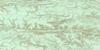
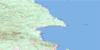
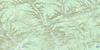
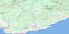
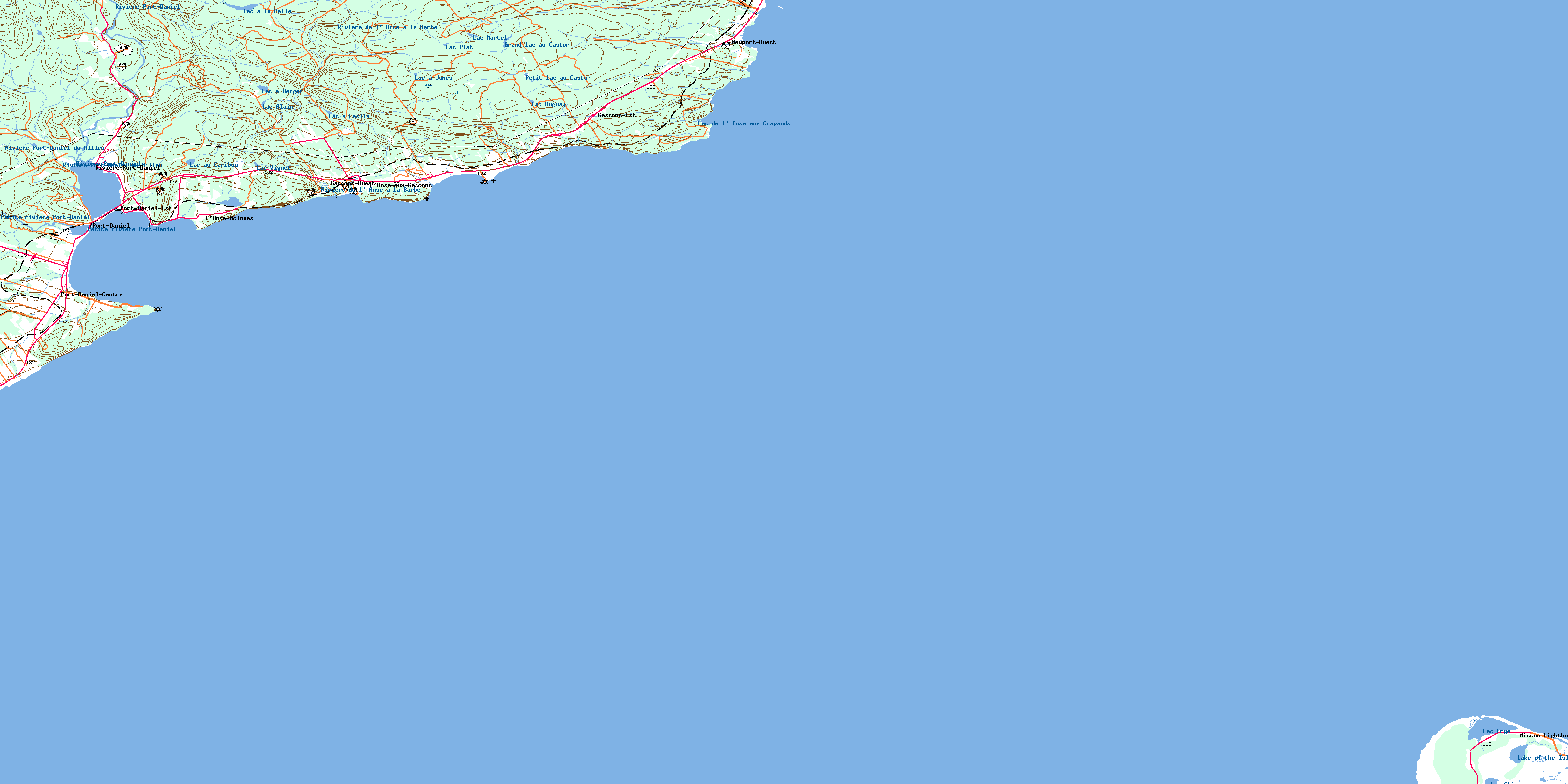
022A02 Port-Daniel Topo Map
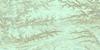
To view this map, mouse over the map preview on the right.
You can also download this topo map for free:
022A02 Port-Daniel high-resolution topo map image.
Maps for the Port-Daniel topo map sheet 022A02 at 1:50,000 scale are also available in these versions:
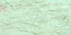
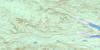
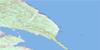
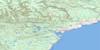
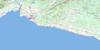
Port-Daniel Surrounding Area Topo Maps
 |
 |
 |
 |
 |
 |
 |
 |
 |
 |
 |
 |
 |
 |
 |
© Department of Natural Resources Canada. All rights reserved.
Port-Daniel Gazetteer
The following places can be found on topographic map sheet 022A02 Port-Daniel:
Port-Daniel Topo Map: Bays
Anse à ActesonAnse à Dominique
Anse à Fullum
Anse à la Barbe
Anse à la Croix
Anse à la Loutre
Anse à Pierre-Loiselle
Anse aux Crapauds
Anse aux Gascons
Anse aux Îlots
Anse Beebe
Anse des Morts
Anse du Quai
Anse du Ruisseau à Perré
Anse Elliot
Anse Harrington
Anse McInnes
Anse McInnis
Baie de Chaleur
Baie de Port-Daniel
Baie des Chaleurs
Baie des Chaleurs
Chaleur Bay
Chaleur Bay
La Petite Anse
Trou Noir
Port-Daniel Topo Map: Beaches
Miscou BeachPlage de la Vieille
Plage Dow
Plain à Martial
Port-Daniel Topo Map: Capes
Birch PointCap à Fahey
Cap de l'Enfer
La Vieille
Miscou Point
North Point
Northwest Miscou Point
Pointe à Fullum
Pointe à la Croix
Pointe à Martial
Pointe au Bouleau
Pointe au Maquereau
Pointe de l'Indien
Pointe de l'Ouest
Pointe du Sud-Ouest
Pointe Noire
Pointe Pillar
Pointe Reddish
Pointe Rouge
White Point
Port-Daniel Topo Map: Cliffs
Cap BlancCap Gris
Cap Rouge
Port-Daniel Topo Map: Geographical areas
GloucesterNewport
Notre-Dame-du-Mont-Carmel
Port-Daniel
Sainte-Germaine-Cousin
Seigneurie de Port-Daniel
Port-Daniel Topo Map: Islands
Île MiscouÎles Mahy
La Maraîche
Les Îlots
Miscou Island
Rocher Curly
Port-Daniel Topo Map: Lakes
Black Brook PondsGrand lac au Castor
La Marche
Lac à Berger
Lac à James
Lac à la Pelle
Lac à Leslie
Lac Alain
Lac au Caribou
Lac Bob
Lac Chiasson
Lac de l'Anse aux Crapauds
Lac de l'Anse McInnes
Lac de l'Anse McInnis
Lac Duguay
Lac Frye
Lac Martel
Lac Plat
Lac Vignet
Lake of the Island
Le Barachois
Munroe Lake
Petit lac au Castor
Petit lac Chiasson
Queue of Mal Bay
Port-Daniel Topo Map: Mountains
Cap d'ArdoiseColline Daniel
Colline de Port-Daniel
Le Gros Morne
Morne de l'Est
Port-Daniel Topo Map: Major municipal/district area - major agglomerations
BonaventurePort-Daniel Topo Map: Conservation areas
Réserve faunique de Port-DanielPort-Daniel Topo Map: Plains
Grande PlainePort-Daniel Topo Map: Provinces
New BrunswickNouveau-Brunswick
Port-Daniel Topo Map: Rivers
Cours d'eau ChouinardCours d'eau Deraiche
Cours d'eau Jones
Cours d'eau Lucien-Roussy
Cours d'eau Roussy
Décharge du Lac du Deuxième
Fleuve Saint-Laurent
Fond Baptiste-Cyr
Fond Fullum
Petite rivière Port-Daniel
Rivière de l'Anse à la Barbe
Rivière de l'Ouest
Rivière Port-Daniel
Rivière Port-Daniel du Milieu
Ruisseau à Guité
Ruisseau à Mon Rougeau
Ruisseau à Perré
Ruisseau Castilloux
Ruisseau Chapados
Ruisseau de la Vache Marine
Ruisseau de l'Anse à Perré
Ruisseau du Lac à la Pelle
Ruisseau du Milieu
Ruisseau du Moulin
Ruisseau du Pont Chouinard
Ruisseau du Pont de Fer
Ruisseau Grum
Ruisseau Hachey
Ruisseau Hurry
Ruisseau Maddigan
Port-Daniel Topo Map: Road features
Pont ChouinardPort-Daniel Topo Map: Shoals
La BarrePort-Daniel Topo Map: Unincorporated areas
CherisyGascons
Gascons
Gascons-Est
Gascons-Ouest
L'Anse-aux-Gascons
L'Anse-McInnes
L'Anse-McInnis
Miscou Lighthouse
Newport-Ouest
Port-Daniel
Port-Daniel
Port-Daniel-Centre
Port-Daniel-Est
Port-Daniel-Station
Rivière-Port-Daniel
Port-Daniel Topo Map: Low vegetation
Les PrésPort-Daniel Topo Map: Villages
Port-DanielPort-Daniel--Gascons
Sainte-Germaine-de-l'Anse-aux-Gascons
© Department of Natural Resources Canada. All rights reserved.
022A Related Maps:
022A Gaspe022A02 Port-Daniel
022A03 New Carlisle
022A04 New Richmond
022A05 Lac Mckay
022A06 Riviere Reboul
022A07 Chandler
022A08 Cap D'Espoir
022A09 Perce
022A10 Grande Riviere Nord
022A11 Mont Alexandre
022A12 Ruisseau Lesseps
022A13 Lac Madeleine
022A14 Lac York
022A15 Sunny-Bank
022A16 Gaspe
