Confluent Kannilirqiq Topo Map Online
Download Free Topo Map Sheet 024F12 at 1:50,000 scale
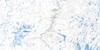
024F12 Confluent Kannilirqiq Topo Map
To view this map, mouse over the map preview on the right.
You can also download this topo map for free:
024F12 Confluent Kannilirqiq high-resolution topo map image.
Maps for the Confluent Kannilirqiq topo map sheet 024F12 at 1:50,000 scale are also available in these versions:
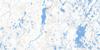
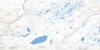
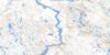
Confluent Kannilirqiq Surrounding Area Topo Maps
 |
 |
 |
 |
 |
 |
 |
 |
 |
 |
 |
 |
 |
 |
 |
 |
© Department of Natural Resources Canada. All rights reserved.
Confluent Kannilirqiq Gazetteer
The following places can be found on topographic map sheet 024F12 Confluent Kannilirqiq:
Confluent Kannilirqiq Topo Map: Lakes
Lac DucreuxLac Hogg
Lac Nowlan
Lac Pichituwakanis
Confluent Kannilirqiq Topo Map: Rapids
Rapides KapitiskutaukauConfluent Kannilirqiq Topo Map: Rivers
Rivière AigneauRivière aux Mélèzes
Rivière Caniapiscau
Rivière Larch
Ruisseau Bow
Ruisseau Matamakw
Ruisseau Robelin
Confluent Kannilirqiq Topo Map: River features
Confluent KannilirqiqConfluent Kannilirqiq Topo Map: Unincorporated areas
Askwataskupich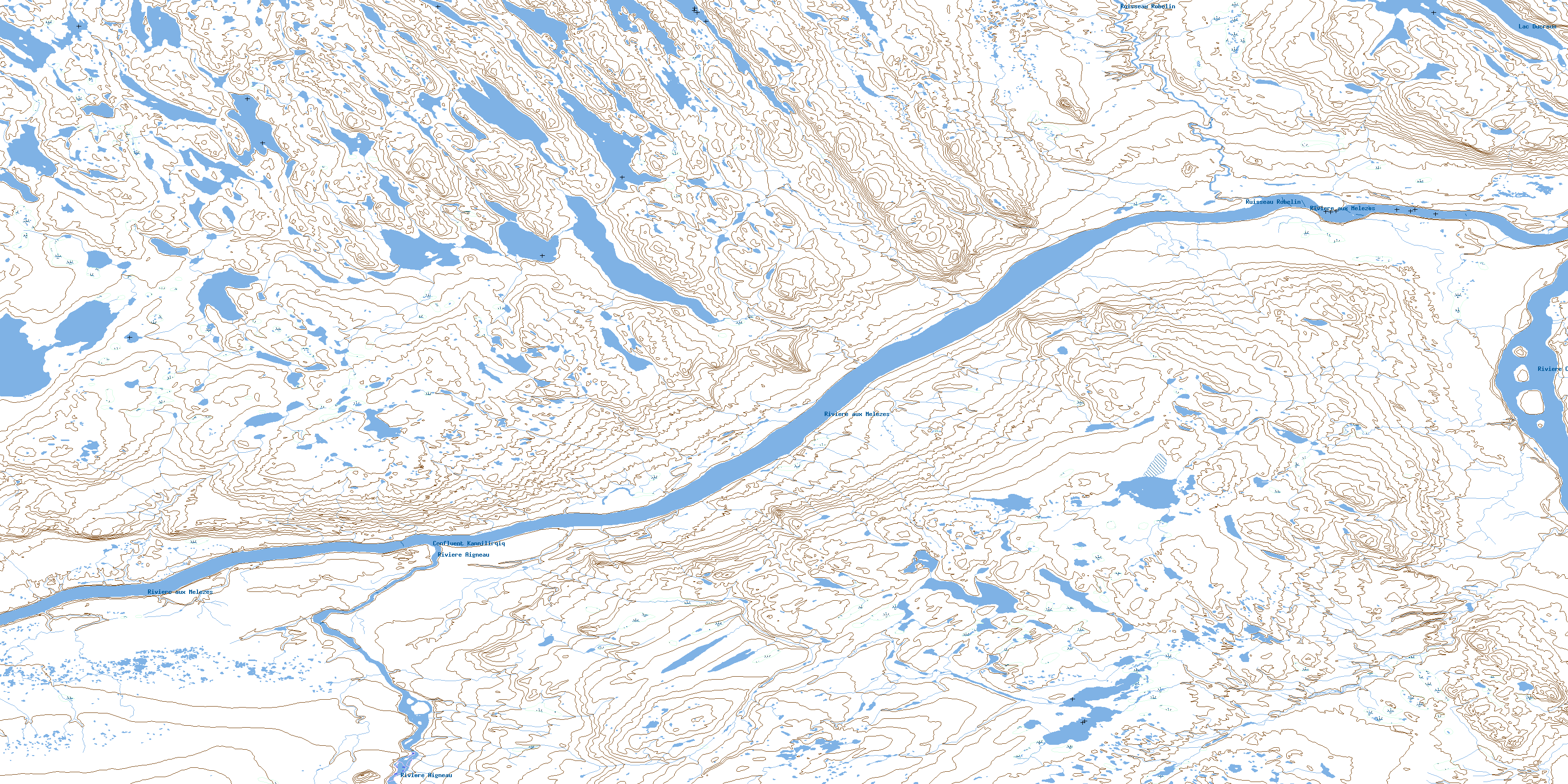
© Department of Natural Resources Canada. All rights reserved.
024F Related Maps:
024F Lac Herodier024F01 Lac Buteux
024F02 Lac Jogues
024F03E Lac La Lande
024F03W Lac La Lande
024F04 Lac Drumlin
024F05 Lac Forbes
024F06 Lac Du Canyon
024F07 Lac Herodier
024F08 Lac Souel
024F09 Lac Garreau
024F10E Lac Le Mercier
024F10W Lac Le Mercier
024F11 Gorge Du Manitou
024F12 Confluent Kannilirqiq
024F13E Lac Leopard
024F13W Lac Leopard
024F14E Ile Koksoak
024F14W Ile Koksoak
024F15 Lac Scattered
024F16 Lac Du Dome
