Gyrfalcon Islands Topo Map Online
Download Free Topo Map Sheet 024N02 at 1:50,000 scale
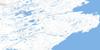
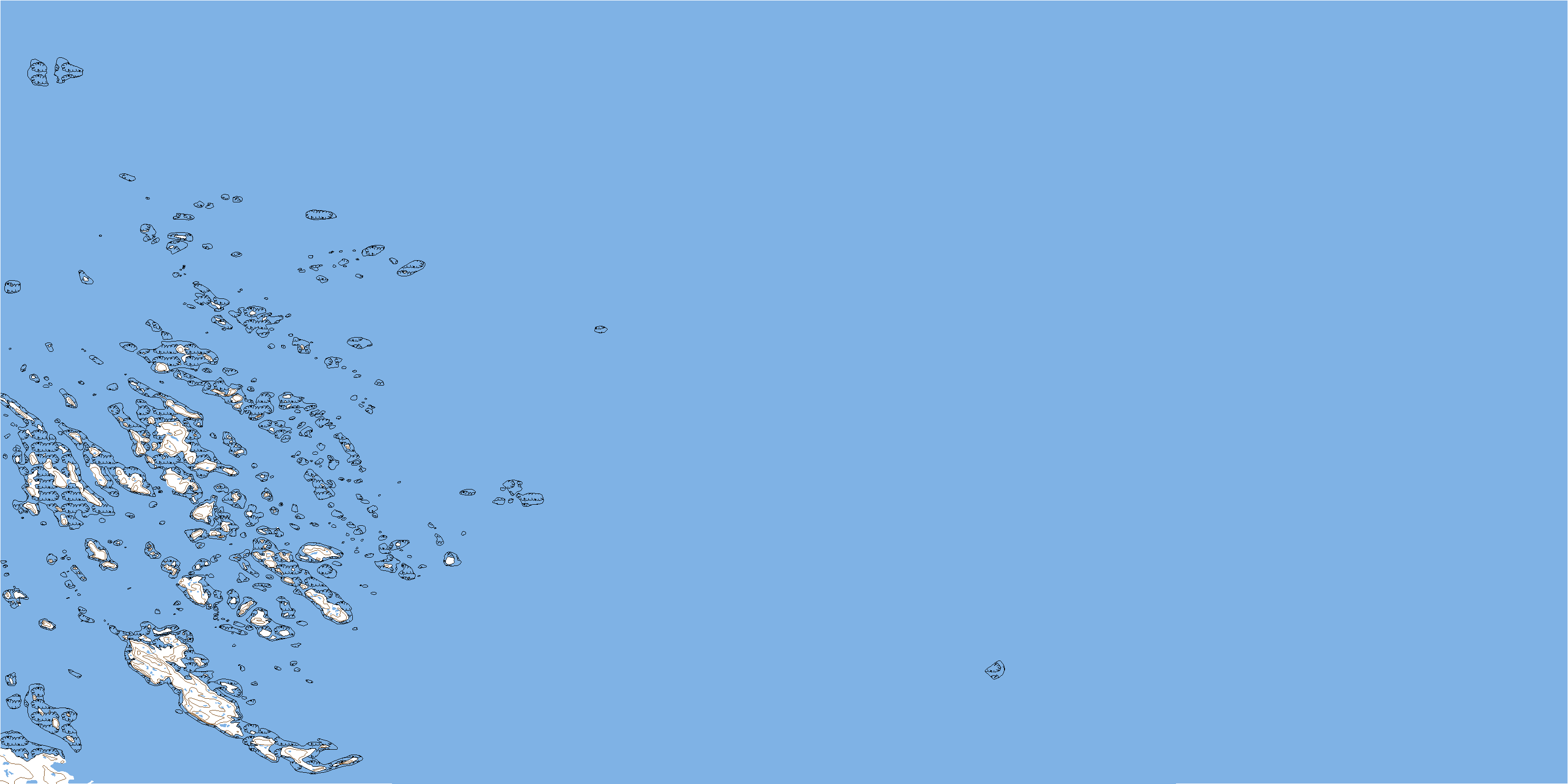
024N02 Gyrfalcon Islands Topo Map
To view this map, mouse over the map preview on the right.
You can also download this topo map for free:
024N02 Gyrfalcon Islands high-resolution topo map image.
Maps for the Gyrfalcon Islands topo map sheet 024N02 at 1:50,000 scale are also available in these versions:
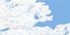
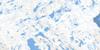
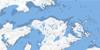
Gyrfalcon Islands Surrounding Area Topo Maps
 |
|||
 |
|||
 |
 |
||
 |
 |
 |
© Department of Natural Resources Canada. All rights reserved.
Gyrfalcon Islands Gazetteer
The following places can be found on topographic map sheet 024N02 Gyrfalcon Islands:
Gyrfalcon Islands Topo Map: Bays
Baie d'UngavaBaie d'Ungava
Falcon Anchorage
Leaf Bay
Ungava Bay
Gyrfalcon Islands Topo Map: Capes
Pointe UkkusissaliupPointe Ukkusissaliup
Gyrfalcon Islands Topo Map: Islands
Dome IslandGyrfalcon Islands
Île Tiercel
Îles Gyrfalcon
Îles Ukkusissaliup
Nipper Island
Tiercel Island
Gyrfalcon Islands Topo Map: Shoals
Blind ReefNanertak Reefs
© Department of Natural Resources Canada. All rights reserved.
