Fort-Coulonge Topo Map Online
Download Free Topo Map Sheet 031F15 at 1:50,000 scale
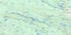
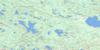
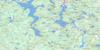
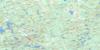
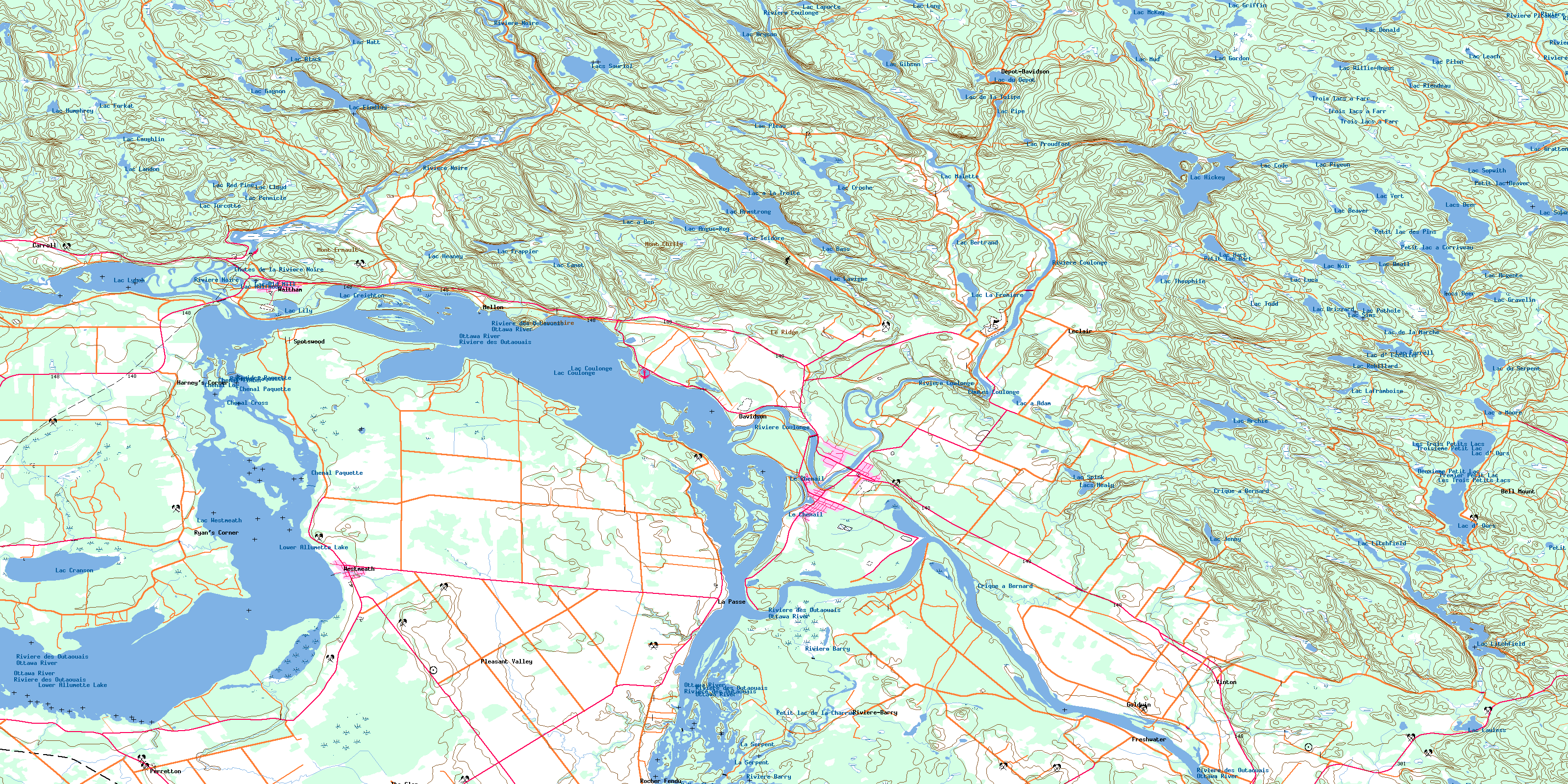
031F15 Fort-Coulonge Topo Map
To view this map, mouse over the map preview on the right.
You can also download this topo map for free:
031F15 Fort-Coulonge high-resolution topo map image.
Maps for the Fort-Coulonge topo map sheet 031F15 at 1:50,000 scale are also available in these versions:
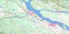
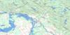
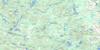
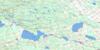
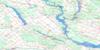
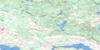
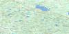
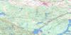
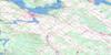
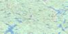
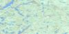
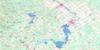
Fort-Coulonge Surrounding Area Topo Maps
 |
 |
 |
 |
 |
 |
 |
 |
 |
 |
 |
 |
 |
 |
 |
 |
© Department of Natural Resources Canada. All rights reserved.
Fort-Coulonge Gazetteer
The following places can be found on topographic map sheet 031F15 Fort-Coulonge:
Fort-Coulonge Topo Map: Bays
Baie à la BoueBaie Johnson
Baie Marcotte
Baie Murphy
Baie Ryan
Bellows Bay
Flannagan Bay
Hennessys Bay
Lac Robinson
Lacroix Bay
Leblanc Bay
Malloy Bay
Mulloy Bay
O'Brien Bay
Fort-Coulonge Topo Map: Beaches
Moores BeachPlage Coulonge
Plage Davidson
Plage du Pont Blanc
Fort-Coulonge Topo Map: Capes
La Tête de l'ÎlePointe à Bryson
Pointe à la Lumière
Pointe à l'Achigan
Pointe à Normand
Pointe American
Pointe aux Sables
Pointe aux Trembles
Pointe Church
Pointe Ferrigan
Pointe Kelly
Pointe Libby
Pointe Morrissette
Pointe Murphy
Pointe Ryan
Pointe Sèche
Pointe Smith
Sand Point
Fort-Coulonge Topo Map: Channels
Chenal CrossChenal de la Culbute
Chenal Log
Chenal Paquette
Chenal Timber
Deuxième Passe
La Demi-Charge
La Serpent
Le Chenail
Première Passe
The Snye
Timber Snye
Fort-Coulonge Topo Map: Cliffs
Button de PoisFort-Coulonge Topo Map: Falls
Chutes CoulongeChutes de la Rivière Noire
La Grande Chute
McKay Chutes
Fort-Coulonge Topo Map: Forests
La FrenièreLa Pruchière
Fort-Coulonge Topo Map: Geographical areas
BrysonChichester
Grand-Calumet
Huddersfield
Leslie
Litchfield
Mansfield
Pontefract
Saint-Elizabeth
Saint-Pierre
Thorne
Waltham
Westmeath
Fort-Coulonge Topo Map: Hydraulic construction
Barrage des Chutes-CoulongeBarrage du Rocher-Fendu
Barrage Findlay
Barrage Lafranchise
Barrage Sauriol
Barrage Waltham
Centrale Waltham
Digue Sauriol
Fort-Coulonge Topo Map: Islands
Big IslandBruyère Island
Burnt Island
Butternut Island
Cedar Island
Coreille Island
Dutch Island
Hen Island
Hog Island
Île à Arnold
Île à Bertrand
Île à Marion
Île aux Allumettes
Île aux Crabes
Île Bernard
Île Blueberry
Île Bob
Île Cobb
Île Cobb
Île Davidson
Île du Calumet
Île du Grand Calumet
Île Fitzpatrick
Île Fraser
Île Frost
Île Gervais
Île Hennessey
Île Lemoine
Île Lighthouse
Île Marcotte
Île Oscar-Béchamp
Île Pigs
Île Reid
Île Romain
Île Smith
Île Wilson
Île Woods
Île Young
Îles Benny
Îles Finlay
Îles Pearson
La Grosse Île
Man Island
Rocher Gull
Sawlog Island
Sullivan Island
Fort-Coulonge Topo Map: Lakes
Deuxième Petit LacÉtang à Davidson
Lac à Adam
Lac à Ben
Lac à la Truite
Lac à Moore
Lac Angus-Roy
Lac Archie
Lac Argenté
Lac Armstrong
Lac au Chevreuil
Lac aux Allumettes
Lac Bass
Lac Beall
Lac Beaver
Lac Bertrand
Lac Black
Lac Brizzard
Lac Bryson
Lac Canby
Lac Canot
Lac Caughlin
Lac Chisel
Lac Code
Lac Coulonge
Lac Coulonge
Lac Cranberry
Lac Cranson
Lac Creighton
Lac Croche
Lac de la Boue
Lac de la Marche
Lac de la Truite
Lac de la Tulipe
Lac de Traverse
Lac d'Escalier
Lac Donald
Lac d'Ours
Lac du Canard Noir
Lac du Castor
Lac du Dépôt
Lac du Serpent
Lac Ebert
Lac Emma
Lac Evans
Lac Farrell
Lac Findlay
Lac Forkat
Lac Frances
Lac Frappier
Lac Gagnon
Lac Gib
Lac Gibson
Lac Gordon
Lac Gratton
Lac Gravelin
Lac Griffin
Lac Gruice
Lac Halfmoon
Lac Hart
Lac Heaney
Lac Hickey
Lac Humphrey
Lac Isidore
Lac Jenny
Lac Kay
Lac La Frenière
Lac Laframboise
Lac Lafrenière
Lac Landon
Lac Laporte
Lac Lavigne
Lac Lawless
Lac Leach
Lac Leslie
Lac Lily
Lac Litchfield
Lac Lloyd
Lac Long
Lac Long
Lac Luca
Lac Lynch
Lac Malette
Lac McKay
Lac McNally
Lac Mud
Lac Mud
Lac Noir
Lac O'Gallagher
Lac Old Mill
Lac Pennicle
Lac Pigeon
Lac Pilon
Lac Pipe
Lac Pleau
Lac Pothole
Lac Proudfoot
Lac Red Pine
Lac Riendeau
Lac Robillard
Lac Sims
Lac Sopwith
Lac Spink
Lac Stephen
Lac Théophile
Lac Todd
Lac Turcotte
Lac Valin
Lac Vaughns
Lac Vert
Lac Vert
Lac Watt
Lac Westmeath
Lac Willie-Angus
Lac Willis
Lacs Deer
Lacs Healy
Lacs Huddersfield
Lacs Sauriol
Lacs Siamois
Le Lagoon
Les Trois Petits Lacs
Little Green Lake
Lower Allumette Lake
Marais Dumouchel
Marche à Albert
Petit lac à Corriveau
Petit lac à Frank
Petit lac à Michel
Petit lac Beaver
Petit lac de la Charrue
Petit lac des Pins
Petit lac Hart
Premier Petit Lac
Trois lacs à Farr
Troisième Petit Lac
Fort-Coulonge Topo Map: Miscellaneous
Forêt refuge du Mont-de-DavidsonHalte du Pont-Marchand
Le Sacré-Coeur
Le Sacré-Coeur
Our Mother of Perpetual Help
Poste Waltham
Fort-Coulonge Topo Map: Mountains
Colline ButlerDunns Hill
Le Ridge
Mont Chilly
Mont de Davidson
Mont Devonshire
Mont Ernault
Montagne de la Marche
Montagne Découverte
Montagne des Bleuets
Montagne des Chênes
Prettys Hill
Valliants Hill
Fort-Coulonge Topo Map: Major municipal/district area - major agglomerations
PontiacFort-Coulonge Topo Map: Other municipal/district area - miscellaneous
RossWestmeath
Whitewater Region
Fort-Coulonge Topo Map: Conservation areas
Ottawa River Provincial ParkRéserve écologique de la Chênaie-des-Îles-Finlay
Westmeath Bog Conservation Reserve
Westmeath Provincial Park
Fort-Coulonge Topo Map: Rapids
Rapide PaquetteRapides Paquette
Rapides Paquette
Fort-Coulonge Topo Map: Rivers
Crique à BernardCrique à Bonnah
Crique à Connelly
Crique à Graveline
Crique à Lagarde
Crique à Ryan
Crique des Trois Petits Lacs
Crique du Dépôt
Crique du Lac d'Ours
Crique Gratton
Ottawa River
Pleasant Valley Creek
Rivière Barry
Rivière Berry
Rivière Coulonge
Rivière des Outaouais
Rivière des Outaouais
Rivière Dumont
Rivière Noire
Rivière Ottawa
Rivière Picanoc
Rivière Serpentine
Robichaud Creek
Ruisseau Allman
Ruisseau au Sable
Ruisseau Beauchamp
Ruisseau Black
Ruisseau Calumet
Ruisseau Chenette
Ruisseau Cole
Ruisseau des Lacs Deer
Ruisseau Dixon
Ruisseau du Lac Hickey
Ruisseau Dumouchel
Ruisseau Findlay
Ruisseau Lagarde
Ruisseau Malette
Ruisseau McKay
Ruisseau McKay
Ruisseau Mud
Ruisseau Pépin
Ruisseau Ryan
Ruisseau Sandy
Ruisseau Turcotte
Ruisseau William
Fort-Coulonge Topo Map: River features
La CulbuteFort-Coulonge Topo Map: Road features
Côte JaunePont Blanc
Pont Charles-Lynch
Pont de la Barry
Pont de Waltham
Pont du Fort
Pont Félix-Gabriel-Marchand
Pont Marchand
Pont Rouge
Pont Ryan
Pont Terry-Fox
Pont White
Fort-Coulonge Topo Map: Shoals
Roche à SpencerRoche aux Crabes
Fort-Coulonge Topo Map: Towns
ChapeauFort-Coulonge
Fort-Coulonge Topo Map: Unincorporated areas
Barry RiverBell Mount
Biddy's Hole
Bromley Line
Carroll
Charles-Lynch Place
Davidson
Davidson
Dépôt-Davidson
Devonshire Park
Finchley
Fort-Coulonge
Freshwater
Goldwin
Harney's Corner
La Passe
Le Pied-de-l'Île
Leclair
Mellon
Perretton
Pleasant Valley
Reggie Libby Place
Rivière-Barry
Rocher Fendu
Ryan's Corner
Spotswood
The Glen
Thornby
Vinton
Waltham
Waltham Station
Westmeath
Fort-Coulonge Topo Map: Low vegetation
Le Grand MaraisLe Marais
Marais à Labine
Marais à Lacroix
Marais Dumouchel
Marais O'Brien
Marais Spencer
Plaine à Toner
Terres à Proudfoot
The Pothole
Westmeath Marsh
Fort-Coulonge Topo Map: Villages
ChichesterGrand-Calumet
Grand-Calumet
Leslie-Clapham-et-Huddersfield
L'Isle-aux-Allumettes
L'Isle-aux-Allumettes
L'Isle-aux-Allumettes-Partie-Est
Litchfield
Litchfield
Mansfield-et-Pontefract
Mansfield-et-Pontefract
Otter Lake
Thorne
Thorne
Waltham
Waltham-et-Bryson
© Department of Natural Resources Canada. All rights reserved.
