Marten Lake Topo Map Online
Download Free Topo Map Sheet 031L12 at 1:50,000 scale
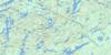
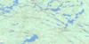
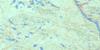
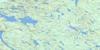
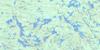
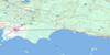
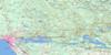
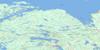
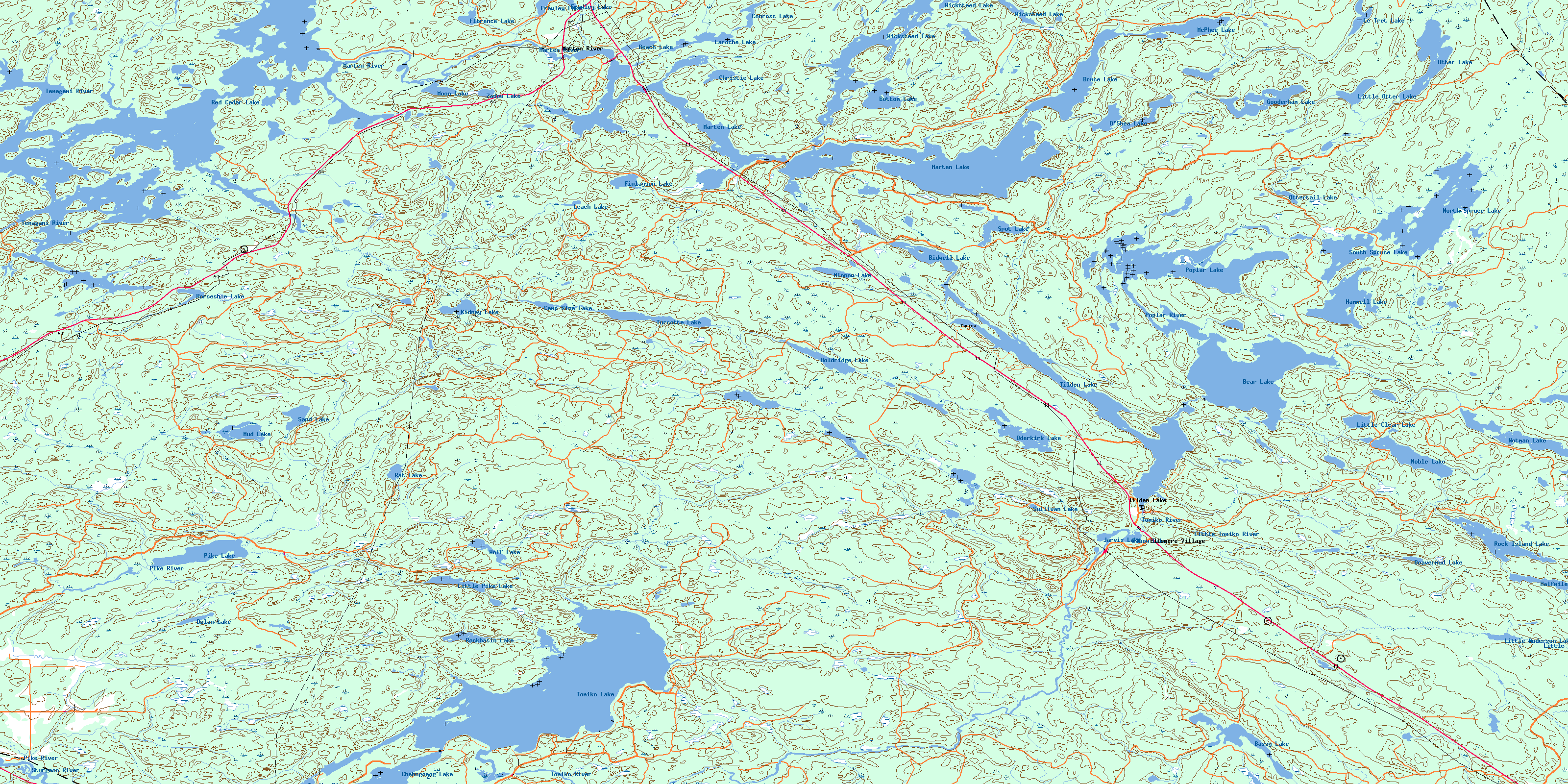
031L12 Marten Lake Topo Map
To view this map, mouse over the map preview on the right.
You can also download this topo map for free:
031L12 Marten Lake high-resolution topo map image.
Maps for the Marten Lake topo map sheet 031L12 at 1:50,000 scale are also available in these versions:
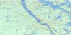
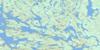
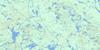
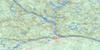
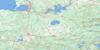
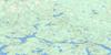
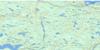
Marten Lake Surrounding Area Topo Maps
 |
 |
 |
 |
 |
 |
 |
 |
 |
 |
 |
 |
 |
 |
 |
 |
© Department of Natural Resources Canada. All rights reserved.
Marten Lake Gazetteer
The following places can be found on topographic map sheet 031L12 Marten Lake:
Marten Lake Topo Map: Bays
Campten BayFrenchman's Bay
Laroche Bay
Leroche Bay
Loon Bay
Southwest Bay
Marten Lake Topo Map: Capes
Birch PointMarten Lake Topo Map: Channels
The NarrowsMarten Lake Topo Map: City
Nipissing OuestMarten Lake Topo Map: Geographical areas
BastedoBlyth
Charlton
Fell
Field
Gladman
Gooderham
Grant
Hammell
Kenny
La Salle
Lyman
McCallum
McLaren
Merrick
Nipissing
Notman
Osborne
Sisk
Stewart
Thistle
Marten Lake Topo Map: Islands
Fallon IslandMarten Lake Topo Map: Lakes
Anderson LakeBassy Lake
Bastedo Lake
Beach Lake
Bear Lake
Beavermud Lake
Bidwell Lake
Bottom Lake
Bruce Lake
Camp Nine Lake
Campten Lake
Chebogomog Lake
Christie Lake
Conross Lake
Dolan Lake
Elbow Lake
Fellows Lake
Finlayson Lake
Florence Lake
Frawley Lake
Gooderham Lake
Halfmile Lake
Hammell Lake
Holdridge Lake
Horseshoe Lake
Jarvis Lake
Kaotisinimigo Lake
Kidney Lake
Lac Chebogan
Lac des Cèdres
Lac des Îles
Laroche Lake
Le Tret Lake
Leach Lake
Leroche Lake
Little Anderson Lake
Little Clear Lake
Little Otter Lake
Little Pike Lake
Little Rock Lake
Marten Lake
McPhee Lake
Minnow Lake
Moon Lake
Mud Lake
Mud Lake
Noble Lake
North Spruce Lake
Notman Lake
Oderkirk Lake
O'Shea Lake
Otter Lake
Ottertail Lake
Pike Lake
Poplar Lake
Rat Lake
Red Cedar Lake
Rock Island Lake
Rockbasin Lake
Sand Lake
Sand Lake
South Spruce Lake
Spot Lake
Sullivan Lake
Thistle Lake
Tilden Lake
Tomiko Lake
Turcotte Lake
Wicksteed Lake
Wolf Lake
Zadow Lake
Marten Lake Topo Map: Other municipal/district area - miscellaneous
CaldwellField
Springer
Marten Lake Topo Map: Conservation areas
Holdridge Creek Conservation ReserveKenny Forest Provincial Park
Marten River Provincial Park
McLaren Forest Conservation Reserve
Temagami River Provincial Park
Marten Lake Topo Map: Rivers
Bastedo CreekBeaverdam Creek
Fellows Creek
Finlayson Creek
Hammell Creek
Holdridge Creek
Leach Creek
Little Tomiko River
Lynch Creek
Marian Creek
Marten River
Mosquito Creek
North Creek
Ottertail Creek
Pike River
Poplar River
Rivière Témagami
Rivière Tomiko
Stony Creek
Sturgeon River
Temagami River
Timagami River
Tomiko River
Marten Lake Topo Map: Towns
TemagamiWest Nipissing
Marten Lake Topo Map: Unincorporated areas
DiverEllsmere Village
Marten River
Otter
Tilden Lake
© Department of Natural Resources Canada. All rights reserved.
031L Related Maps:
031L North Bay031L01 Brent
031L02 Kiosk
031L03 Powassan
031L04 Nipissing
031L05 Sturgeon Falls
031L06 North Bay
031L07 Mattawa
031L08 Riviere Maganasipi
031L09 Lac Bleu
031L10 Lac Beauchene
031L11 Temiscaming
031L12 Marten Lake
031L13 Ingall Lake
031L14 Ottertail Creek
031L15 Lac Grindstone
031L16 Lac Sairs
