Saganaga Lake Topo Map Online
Download Free Topo Map Sheet 052B02 at 1:50,000 scale
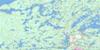
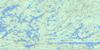
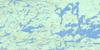
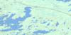
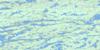
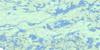
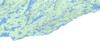
052B02 Saganaga Lake Topo Map
To view this map, mouse over the map preview on the right.
You can also download this topo map for free:
052B02 Saganaga Lake high-resolution topo map image.
Maps for the Saganaga Lake topo map sheet 052B02 at 1:50,000 scale are also available in these versions:
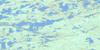
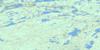
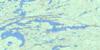
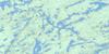
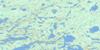
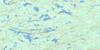
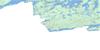
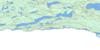
Saganaga Lake Surrounding Area Topo Maps
 |
 |
 |
 |
 |
 |
 |
 |
 |
 |
 |
 |
 |
 |
 |
 |
© Department of Natural Resources Canada. All rights reserved.
Saganaga Lake Gazetteer
The following places can be found on topographic map sheet 052B02 Saganaga Lake:
Saganaga Lake Topo Map: Bays
Cache BayCross Bay
Curran Bay
Nelson Bay
Powell's Bay
Red Sucker Bay
Sac Bay
South Arm
Southeast Bay
Trout Bay
Saganaga Lake Topo Map: Capes
Black Jack PointCache Point
Painted Rocks
Saganaga Lake Topo Map: Channels
Jocks NarrowsTrafalgar Channel
Saganaga Lake Topo Map: Falls
Little Rock FallsNorthern Light Falls
Saganaga Falls
Saganaga Lake Topo Map: Geographical areas
Rainy RiverThunder Bay
Saganaga Lake Topo Map: Islands
Baird IslandBuck Island
Curtis Island
Government Island
Moose Island
Red Pine Island
Sitch Island
South Island
Saganaga Lake Topo Map: Lakes
Beulah LakeBurnside Lake
Clove Lake
Gneiss Lake
Granite Lake
Greer Lake
Gunflint Lake
Icarus Lake
Little Gunflint Lake
Little North Lake
Madalaine Lake
Magnetic Lake
Maraboeuf Lake
Melvin Lake
North Lake
Northern Light Lake
Rat Lake
Saganaga Lake
Shekaka Lake
South Lake
Spoon Lake
Sunbow Lake
Wantelto Lake
Saganaga Lake Topo Map: Conservation areas
Arrowhead Peninsula Provincial Nature ReserveLa Verendrye Provincial Park
LaVerendrye Provincial Park
Quetico Provincial Park
Saganaga Lake Topo Map: Rapids
Horsetail RapidsSaganaga Lake Topo Map: Rivers
Bittern CreekGranite River
Greer Creek
Pine River
Saganaga Lake Topo Map: River features
Devils ElbowSaganaga Lake Topo Map: Road features
Height of Land PortageSouth Lake Portage
Wood Horse Portage
Saganaga Lake Topo Map: Unincorporated areas
Saganaga Lake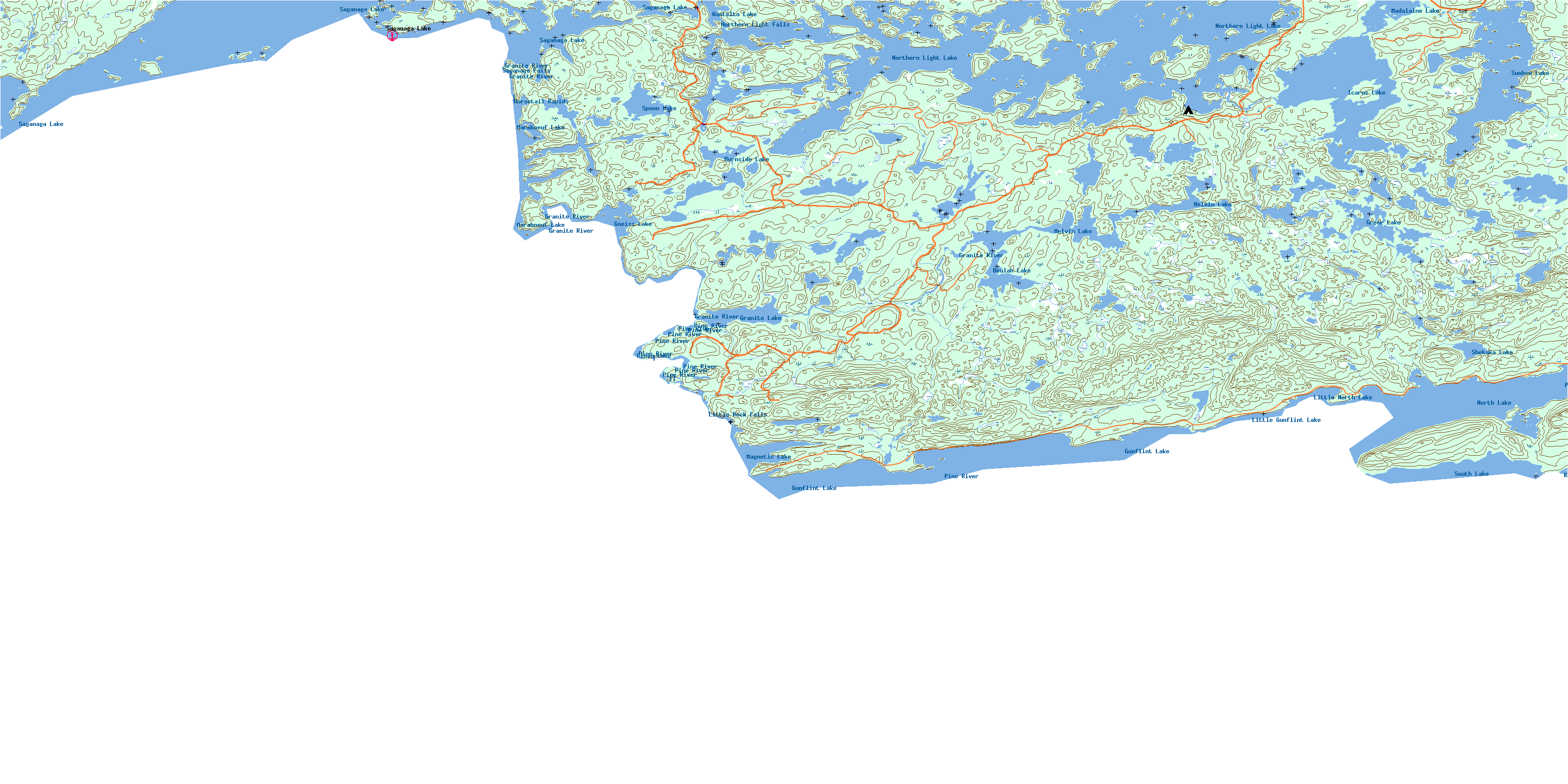
© Department of Natural Resources Canada. All rights reserved.
052B Related Maps:
052B Quetico052B01 Arrow Lake
052B02 Saganaga Lake
052B03 Knife Lake
052B04 Basswood Lake
052B05 Poohbah Lake
052B06 Kawnipi Lake
052B07 Mowe Lake
052B08 Marks Lake
052B09 Shebandowan
052B10 Burchell Lake
052B11 Pickerel Lake
052B12 Quetico Lake
052B13 Atikokan
052B14 Sapawe
052B15 Bedivere Lake
052B16 Savanne
