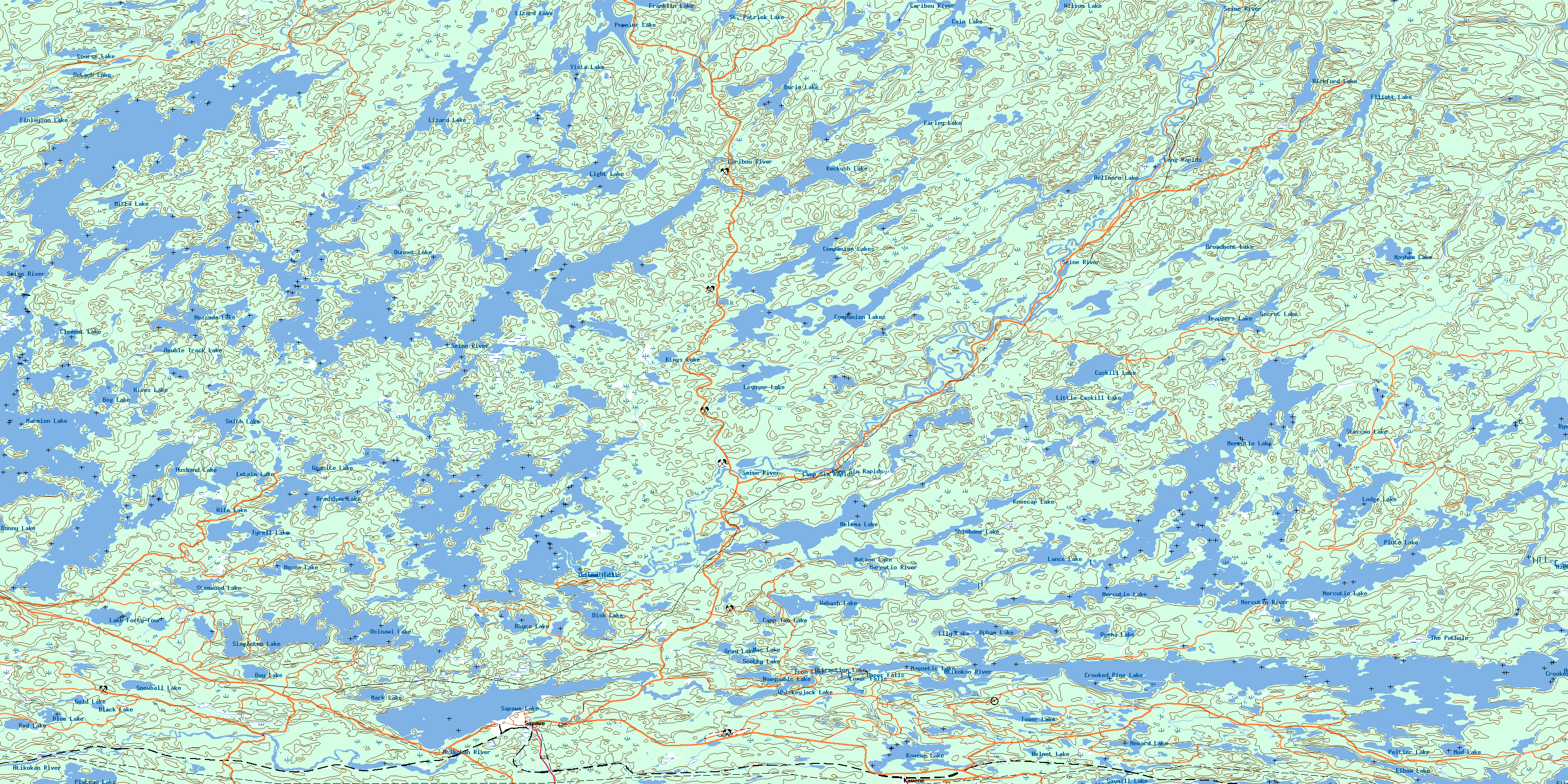
Sapawe Topo Map Online
Download Free Topo Map Sheet 052B14 at 1:50,000 scale
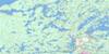
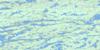
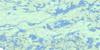
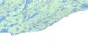
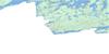
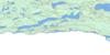
052B14 Sapawe Topo Map
To view this map, mouse over the map preview on the right.
You can also download this topo map for free:
052B14 Sapawe high-resolution topo map image.
Maps for the Sapawe topo map sheet 052B14 at 1:50,000 scale are also available in these versions:
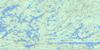
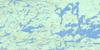
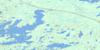
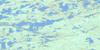
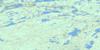
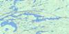
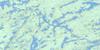
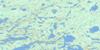
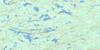
Sapawe Surrounding Area Topo Maps
 |
 |
 |
 |
 |
 |
 |
 |
 |
 |
 |
 |
 |
 |
 |
 |
© Department of Natural Resources Canada. All rights reserved.
Sapawe Gazetteer
The following places can be found on topographic map sheet 052B14 Sapawe:
Sapawe Topo Map: Bays
Ash BayBlind Bay
Bradshaw Bay
Broken Leg Bay
Dump Bay
East Bay
Flood Bay
Hawk Bay
Lequyer Bay
Light Bay
Lower Seine Bay
Lynxhead Bay
North Bay
Reserve Bay
Rock Bay
Sawbill Bay
Seine Bay
South Bay
Trap Bay
Turtle Bay
Upper Seine Bay
Sapawe Topo Map: Capes
Fallenrock PointJackpine Point
McGinnis Point
Sapawe Topo Map: Channels
Burnt NarrowsHoist Narrows
Jackfish Narrows
Lynxhead Narrows
Swift Narrows
Sapawe Topo Map: Falls
Camp FallsHigh Falls
Island Falls
Lower Falls
Turtle Falls
Upper Falls
Sapawe Topo Map: Geographical areas
HutchinsonMcCaul
Ramsay Wright
Schwenger
Trottier
Weaver
Sapawe Topo Map: Islands
Cochran IslandGarbage Island
Gold Mine Island
Reserve Island
Star Island
Sapawe Topo Map: Lakes
Attraction LakeBellmore Lake
Bergman Lakes
Bickford Lake
Black Lake
Blue Lake
Bog Lake
Boyce Lake
Bradshaw Lake
Broadbent Lake
Bunny Lake
Byers Lake
Cain Lake
Camp Two Lake
Caskill Lake
Clement Lake
Companion Lake
Companion Lakes
Course Lake
Crooked Pine Lake
Day Lake
Detach Lake
Disk Lake
Double Track Lake
Dunnet Lake
Durie Lake
Elbow Lake
Elliott Lake
Farley Lake
Finlayson Lake
Franklin Lake
Gold Lake
Granite Lake
Gray Lake
Helmet Lake
Heward Lake
Hives Lake
Husband Lake
Iron Lake
Kawene Lake
Keckush Lake
Kings Lake
Kneecap Lake
Lake Forty-four
Lance Lake
Lequyer Lake
Letain Lake
Light Lake
Lily Lake
Little Caskill Lake
Lizard Lake
Lloyd Lake
Lodge Lake
Lower Seine Lake
Mac Lake
Magnetic Lake
Mark Lake
Marmion Lake
Matson Lake
Mayhew Lake
Melema Lake
Mercutio Lake
Messada Lake
Mitta Lake
Moses Lake
Mud Lake
Nemo Lake
Nowquabic Lake
Ogema Lake
Osinawi Lake
Peltier Lake
Plateau Lake
Plute Lake
Premier Lake
Red Lake
Sabawi Lake
Sapawe Lake
Sawmill Lake
Scotty Lake
Secret Lake
Shinbone Lake
Singleton Lake
Smith Lake
Snowball Lake
St. Patrick Lake
Steccno Lake
Stemwood Lake
Sykes Lake
The Pothole
Tower Lake
Trappers Lake
Tyrell Lake
Upham Lake
Vista Lake
Wabash Lake
Whiskeyjack Lake
Wife Lake
Wilson Lake
Sapawe Topo Map: Other municipal/district area - miscellaneous
AtikokanSapawe Topo Map: Rapids
Camp Six RapidsLong Rapids
Sapawe Topo Map: Rivers
Atikokan RiverBar Creek
Bellmore Creek
Caribou River
Cornell Creek
Hole-in-the-Wall
Light Creek
Lumby Creek
Mercutio River
Seine River
Seventeen Mile Creek
Snowball Creek
St. Patrick Creek
Sapawe Topo Map: Unincorporated areas
BlalockHematite
Kawene
Sapawe
© Department of Natural Resources Canada. All rights reserved.
052B Related Maps:
052B Quetico052B01 Arrow Lake
052B02 Saganaga Lake
052B03 Knife Lake
052B04 Basswood Lake
052B05 Poohbah Lake
052B06 Kawnipi Lake
052B07 Mowe Lake
052B08 Marks Lake
052B09 Shebandowan
052B10 Burchell Lake
052B11 Pickerel Lake
052B12 Quetico Lake
052B13 Atikokan
052B14 Sapawe
052B15 Bedivere Lake
052B16 Savanne
