Artery Lake Topo Map Online
Download Free Topo Map Sheet 052M06 at 1:50,000 scale
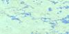
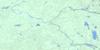
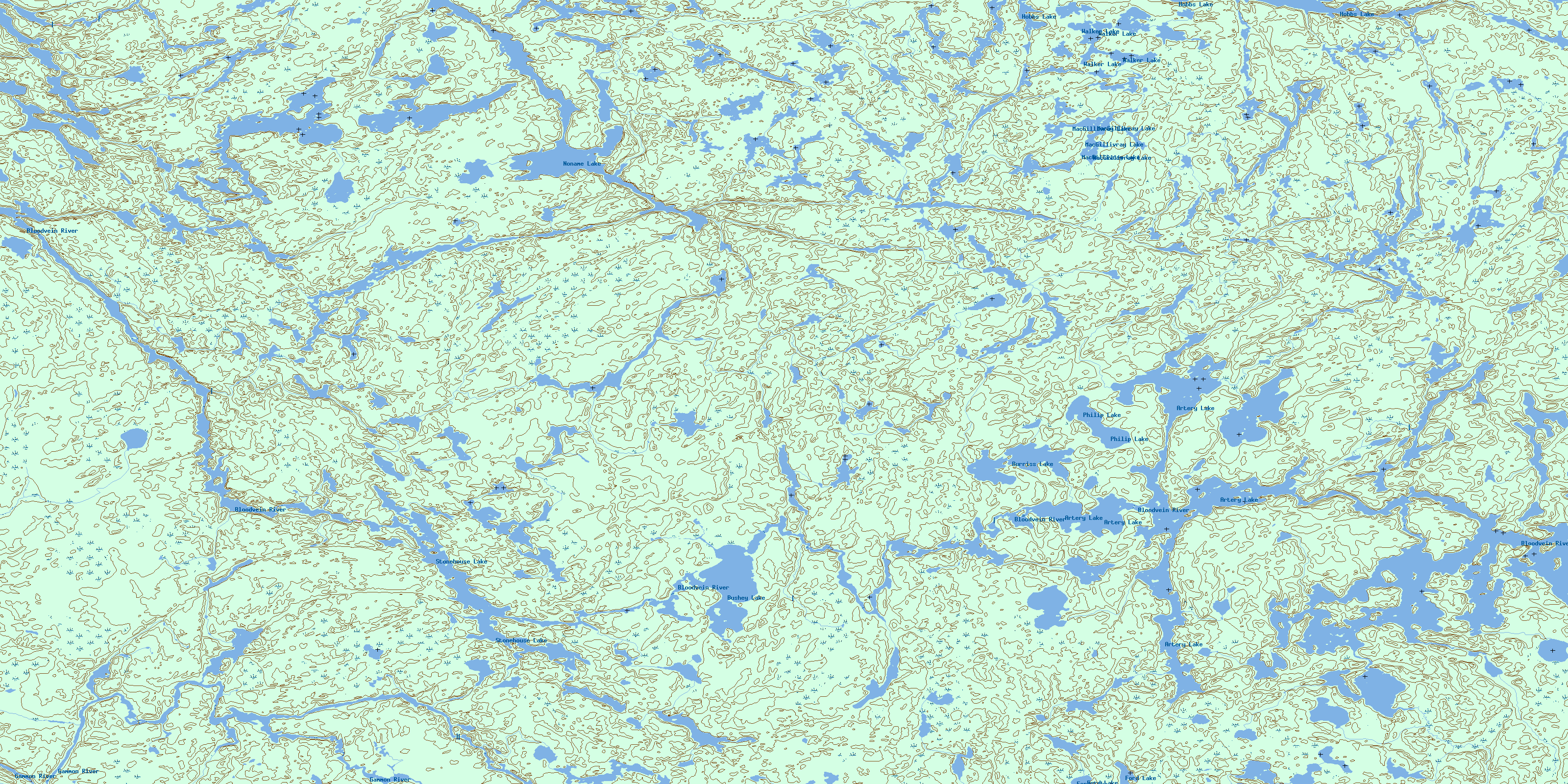
052M06 Artery Lake Topo Map
To view this map, mouse over the map preview on the right.
You can also download this topo map for free:
052M06 Artery Lake high-resolution topo map image.
Maps for the Artery Lake topo map sheet 052M06 at 1:50,000 scale are also available in these versions:
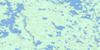
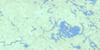
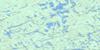
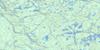
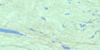
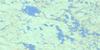
Artery Lake Surrounding Area Topo Maps
 |
 |
 |
 |
 |
 |
 |
 |
 |
 |
 |
 |
 |
 |
 |
 |
© Department of Natural Resources Canada. All rights reserved.
Artery Lake Gazetteer
The following places can be found on topographic map sheet 052M06 Artery Lake:
Artery Lake Topo Map: Falls
Asineewakkayhigun FallsKeeshata Falls
Artery Lake Topo Map: Lakes
Artery LakeArtery Lake
Burriss Lake
Bushey Lake
Ford Lake
Ford Lake
Hobbs Lake
Hobbs Lake
Little Pepper Lake
MacGillivray Lake
MacGillivray Lake
McGillivray Lake
Noname Lake
Philip Lake
Philip Lake
Sawdon Lake
Schykulski Lake
Scout Lake
Stonehouse Lake
Taskapakawee Lake
Thunder Lake
Walker Lake
Walker Lake
Artery Lake Topo Map: Conservation areas
Atikaki Provincial ParkAtikaki Provincial Wilderness Park
Woodland Caribou Provincial Park
Artery Lake Topo Map: Provinces
ManitobaArtery Lake Topo Map: Rapids
Wawataynee RapidsArtery Lake Topo Map: Rivers
Artery CreekBloodvein River
Bloodvein River
Gammon River
Taskapakawee Creek
© Department of Natural Resources Canada. All rights reserved.
052M Related Maps:
052M Carroll Lake052M01 Pipestone Bay
052M02 Murdock Lake
052M03 Aikens Lake
052M04 Bissett
052M05 North Eagle Lake
052M06 Artery Lake
052M07 Sabourin Lake
052M08 Bigshell Lake
052M09 Roderick Lake
052M10 Spoonbill Lake
052M11 Dogskin Lake
052M12 Sasaginnigak Lake
052M13 Viking Lake
052M14 Family Lake
052M15 Onepine Lake
052M16 Pikangikum Lake
