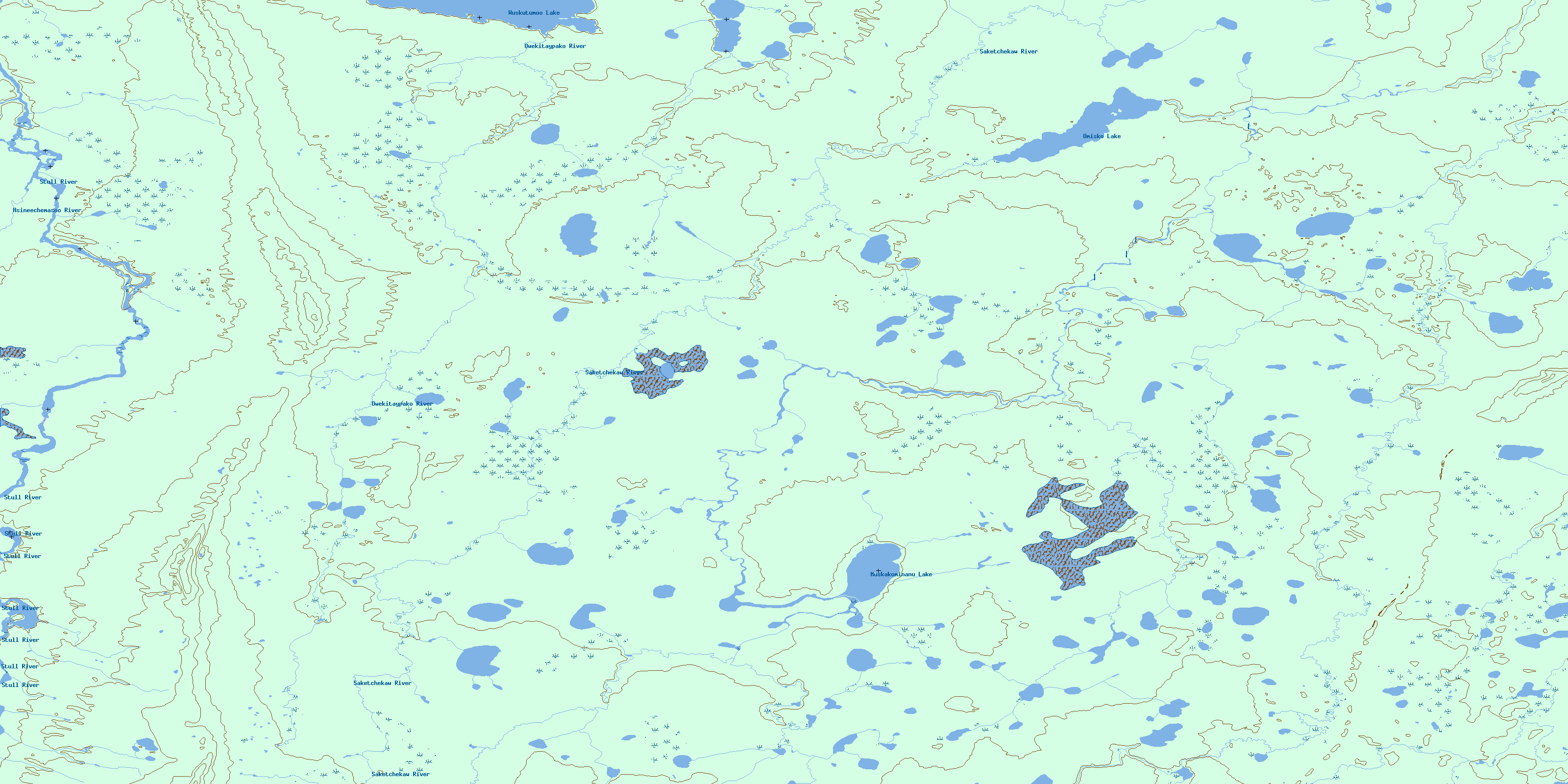
Umisko Lake Topo Map Online
Download Free Topo Map Sheet 053K16 at 1:50,000 scale
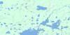
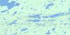
053K16 Umisko Lake Topo Map
To view this map, mouse over the map preview on the right.
You can also download this topo map for free:
053K16 Umisko Lake high-resolution topo map image.
Maps for the Umisko Lake topo map sheet 053K16 at 1:50,000 scale are also available in these versions:
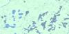
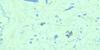
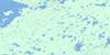
Umisko Lake Surrounding Area Topo Maps
 |
 |
 |
 |
 |
 |
 |
 |
 |
 |
 |
|
 |
 |
© Department of Natural Resources Canada. All rights reserved.
Umisko Lake Gazetteer
The following places can be found on topographic map sheet 053K16 Umisko Lake:
Umisko Lake Topo Map: Lakes
Muskakominanu LakeUmisko Lake
Wuskutumoo Lake
Umisko Lake Topo Map: Mountains
Murray HillTaylor Hill
Wetiko Hills
Umisko Lake Topo Map: Rivers
Asineechemasoo RiverBrice Creek
Brice Creek
Kakitayoamisk River
Owekitaypako River
Saketchekaw River
Stull River
© Department of Natural Resources Canada. All rights reserved.
053K Related Maps:
053K Stull Lake053K01 Little Sachigo Lake
053K02 Pierce Lake
053K03 Robson Lake
053K04 Red Sucker Lake
053K05 Sharpe Lake
053K06 Makataysip Lake
053K07 Stull Lake
053K08 Rapson Bay
053K09 Ney Lake
053K10 Kistigan Lake
053K11 Edmund Lake
053K12 Pesanapisko Lake
053K13 Yellowback Island
053K14 Kenyon Lake
053K15 Atikamaykus Lake
053K16 Umisko Lake
