Alameda Topo Map Online
Download Free Topo Map Sheet 062E08 at 1:50,000 scale
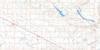
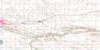
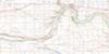
062E08 Alameda Topo Map
To view this map, mouse over the map preview on the right.
You can also download this topo map for free:
062E08 Alameda high-resolution topo map image.
Maps for the Alameda topo map sheet 062E08 at 1:50,000 scale are also available in these versions:
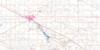
Alameda Surrounding Area Topo Maps
 |
 |
 |
 |
 |
 |
 |
 |
 |
 |
 |
 |
 |
 |
 |
 |
© Department of Natural Resources Canada. All rights reserved.
Alameda Gazetteer
The following places can be found on topographic map sheet 062E08 Alameda:
Alameda Topo Map: Other municipal/district area - miscellaneous
Browning No. 34Coalfields No. 4
Enniskillen No. 3
Moose Creek No. 33
Mount Pleasant No. 2
Reciprocity No. 32
Alameda Topo Map: Rivers
Auburnton CreekMoose Mountain Creek
Shepherd Creek
Alameda Topo Map: Towns
AlamedaAlameda Topo Map: Unincorporated areas
AuburntonDalesboro
Douglaston
Rapeard
Willmar
Alameda Topo Map: Valleys
Shepherd Ravine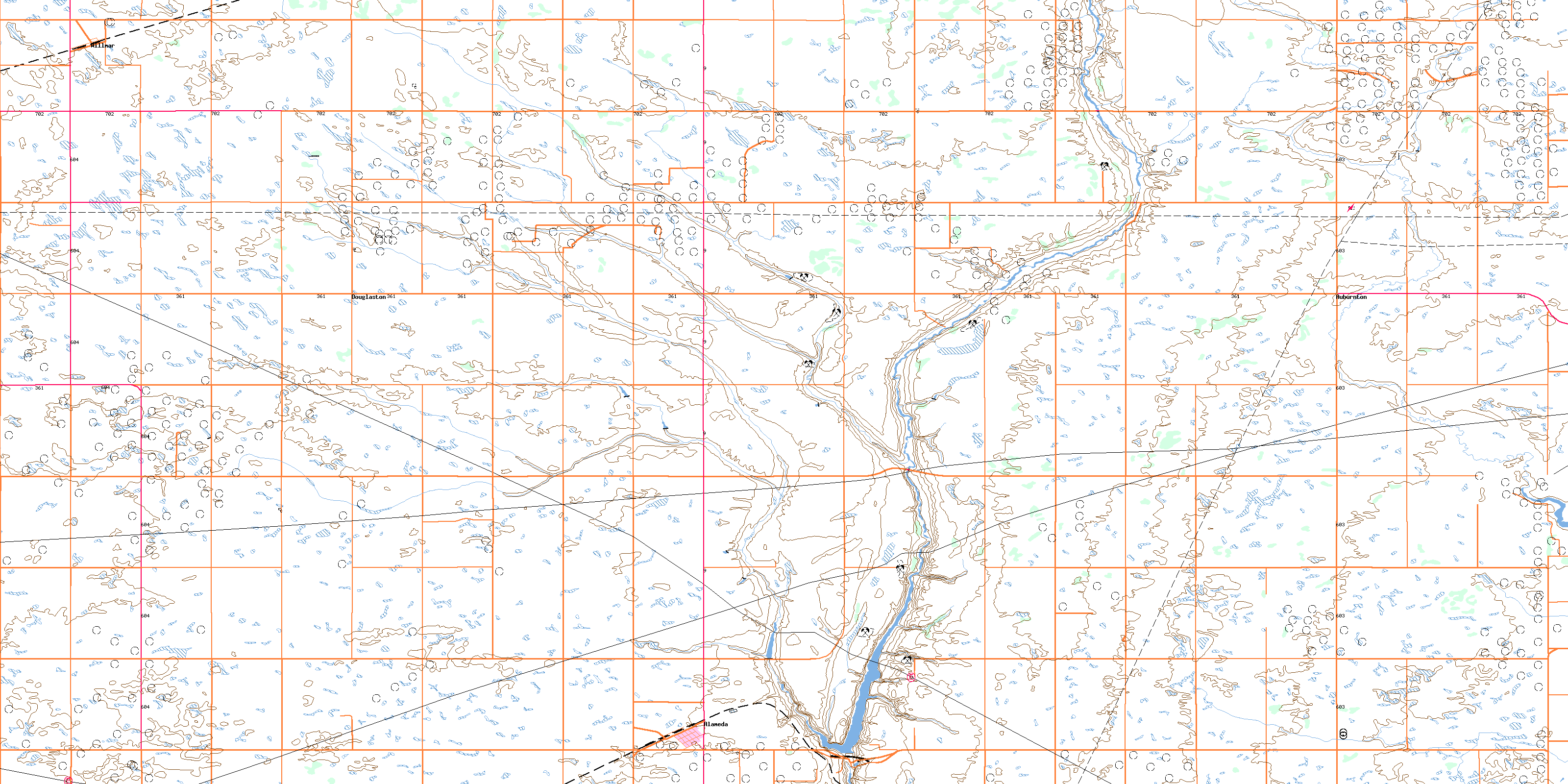
© Department of Natural Resources Canada. All rights reserved.
