Carnduff Topo Map Online
Download Free Topo Map Sheet 062F04 at 1:50,000 scale
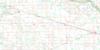
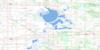
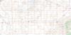
062F04 Carnduff Topo Map
To view this map, mouse over the map preview on the right.
You can also download this topo map for free:
062F04 Carnduff high-resolution topo map image.
Maps for the Carnduff topo map sheet 062F04 at 1:50,000 scale are also available in these versions:
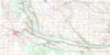
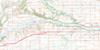
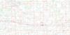
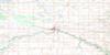
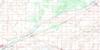
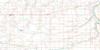
Carnduff Surrounding Area Topo Maps
 |
 |
 |
 |
 |
 |
 |
 |
 |
 |
 |
 |
 |
 |
 |
 |
© Department of Natural Resources Canada. All rights reserved.
Carnduff Gazetteer
The following places can be found on topographic map sheet 062F04 Carnduff:
Carnduff Topo Map: Other municipal/district area - miscellaneous
Argyle No. 1Mount Pleasant No. 2
Carnduff Topo Map: Rivers
Antler RiverGainsborough Creek
Lightning Creek
Souris River
Carnduff Topo Map: Towns
CarnduffCarnduff Topo Map: Unincorporated areas
ElmoreCarnduff Topo Map: Villages
Carievale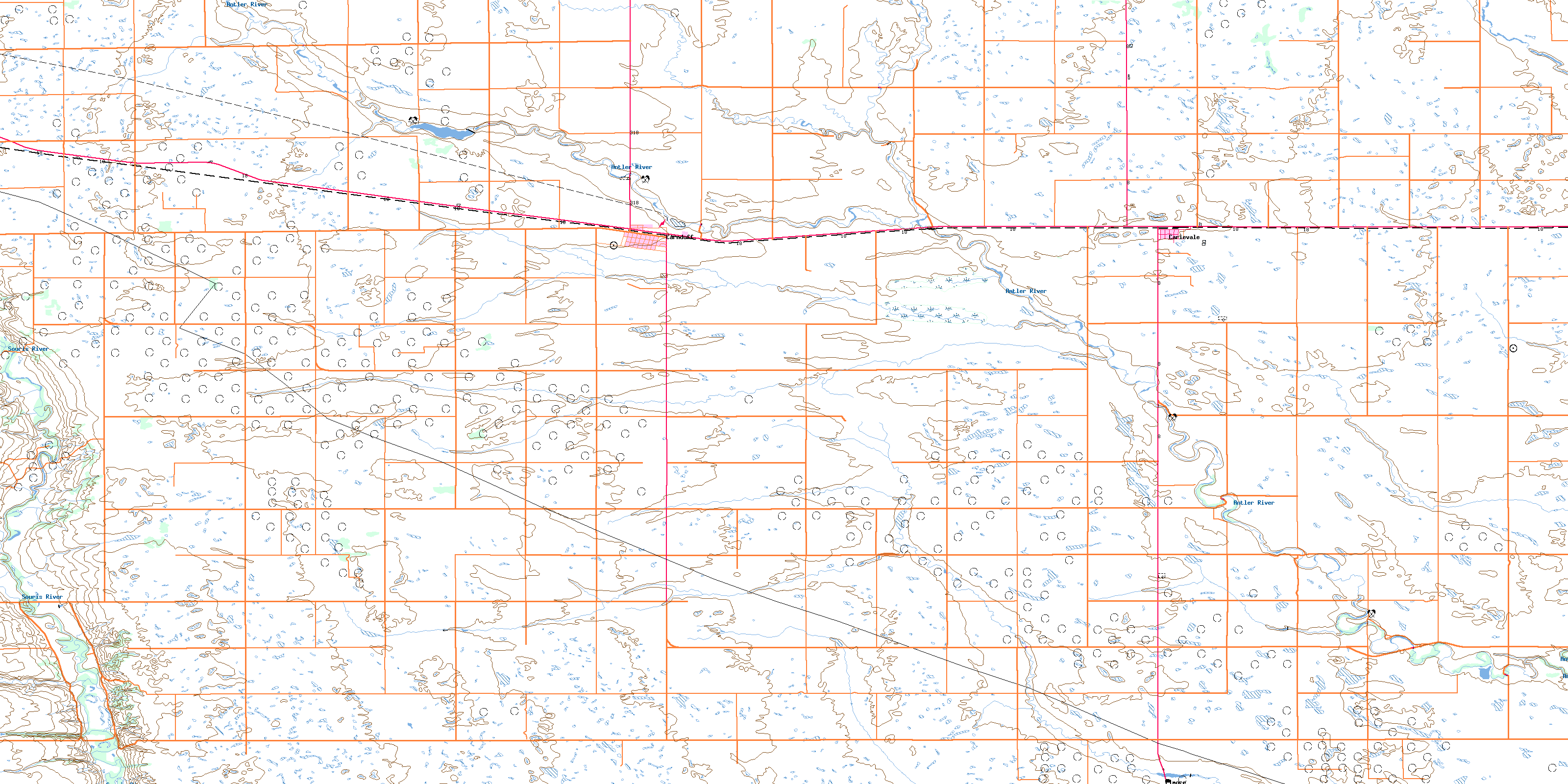
© Department of Natural Resources Canada. All rights reserved.
