Hamiota Topo Map Online
Download Free Topo Map Sheet 062K02 at 1:50,000 scale
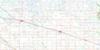
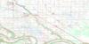
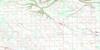
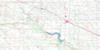
062K02 Hamiota Topo Map
To view this map, mouse over the map preview on the right.
You can also download this topo map for free:
062K02 Hamiota high-resolution topo map image.
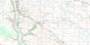
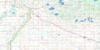
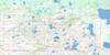
Maps for the Hamiota topo map sheet 062K02 at 1:50,000 scale are also available in these versions:
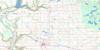
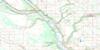
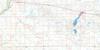
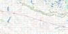
Hamiota Surrounding Area Topo Maps
 |
 |
 |
 |
 |
 |
 |
 |
 |
 |
 |
 |
 |
 |
 |
 |
© Department of Natural Resources Canada. All rights reserved.
Hamiota Gazetteer
The following places can be found on topographic map sheet 062K02 Hamiota:
Hamiota Topo Map: Lakes
Angus LakeBacons Lagoon
Bars Lake
Coopers Lake
Crumps Lagoon
Fennell Lake
Hop Lake
Milne Lake
Mud Lake
Murphys Lake
Pockets Lake
Taylor Lake
Warrens Lake
Watters Lake
Hamiota Topo Map: Mountains
Arrow River HillsBagshaw Hills
Crumps Hill
Grierson Hill
Mitchells Hill
Standing Stone Hill
Hamiota Topo Map: Other municipal/district area - miscellaneous
HamiotaMiniota
Wallace
Woodworth
Hamiota Topo Map: Conservation areas
Pope National Wildlife AreaRéserve nationale de faune de Pope
Upper Assiniboine Wildlife Management Area
Hamiota Topo Map: Rivers
Arrow RiverAssiniboine River
Brierwood Creek
Golden Creek
Oak River
Hamiota Topo Map: Unincorporated areas
Arrow RiverChumah
Crandall
Glenlochar
Logoch
Oakner
Parks Corner
Pitlochry
Pope
Quadra
Rea
Hamiota Topo Map: Valleys
Drydens RavineHamiota Topo Map: Low vegetation
Arrow River MarshesHutchison Marsh
McGillivray Slough
Pearson Slough
Strachans Slough
Woods Slough
Hamiota Topo Map: Villages
Hamiota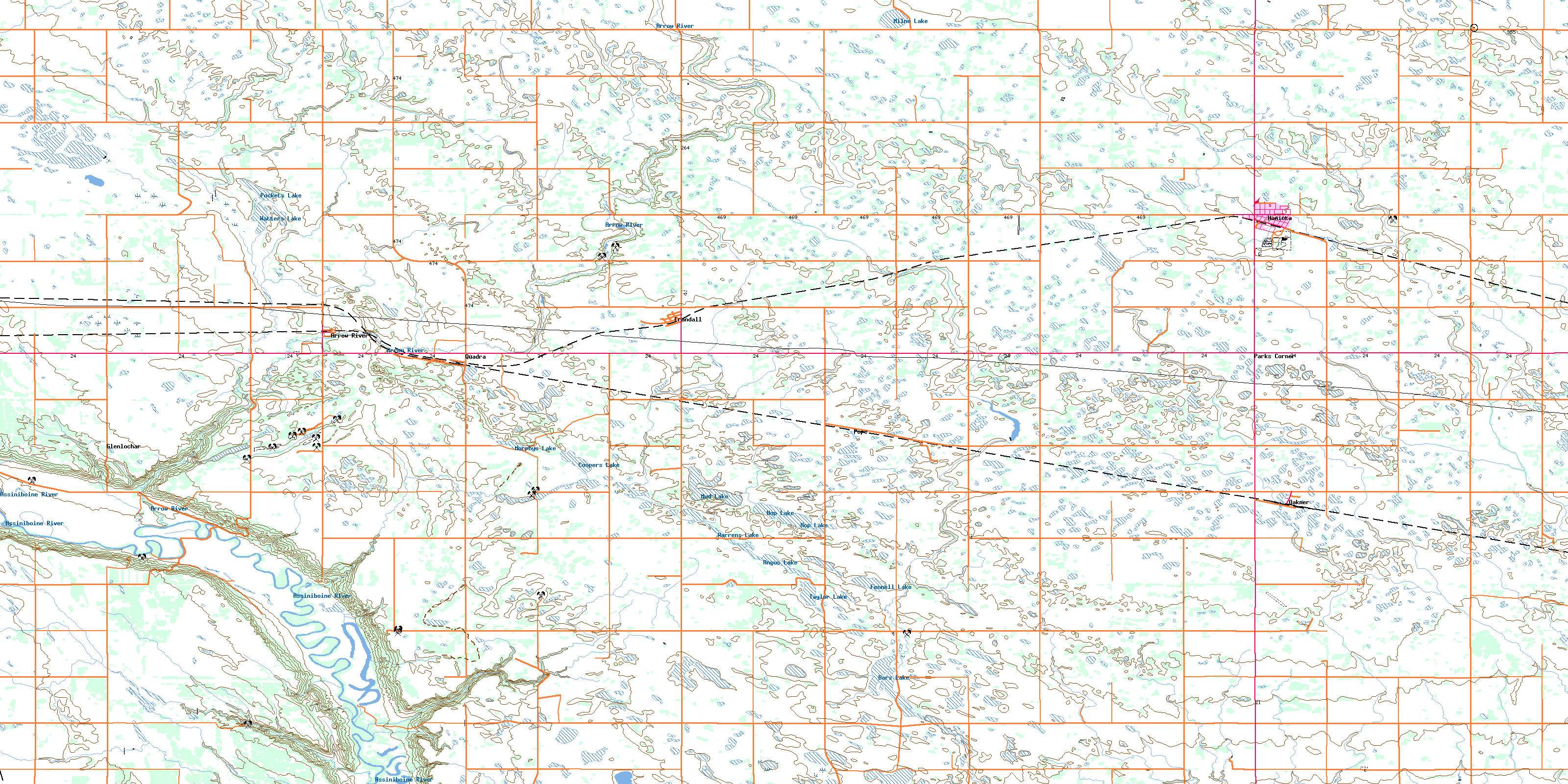
© Department of Natural Resources Canada. All rights reserved.
