Binscarth Topo Map Online
Download Free Topo Map Sheet 062K11 at 1:50,000 scale
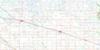
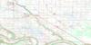
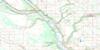
062K11 Binscarth Topo Map
To view this map, mouse over the map preview on the right.
You can also download this topo map for free:
062K11 Binscarth high-resolution topo map image.
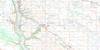
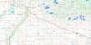
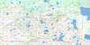
Maps for the Binscarth topo map sheet 062K11 at 1:50,000 scale are also available in these versions:
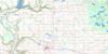
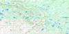
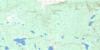
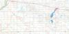
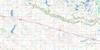
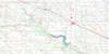
Binscarth Surrounding Area Topo Maps
 |
 |
 |
 |
 |
 |
 |
 |
 |
 |
 |
 |
 |
 |
 |
 |
© Department of Natural Resources Canada. All rights reserved.
Binscarth Gazetteer
The following places can be found on topographic map sheet 062K11 Binscarth:
Binscarth Topo Map: Indian Reserves
Gambler 63Binscarth Topo Map: Lakes
Angus LakeBroatch Lake
Cases Lake
Coulters Lake
Diamond Lake
Diamond Lake
Ernies Lake
Falloons Lake
Grays Lake
Hamiltons Lake
Jollyes Lake
Keatings Lake
McMinn Lake
Phizackleas Lake
St. Marys Lake
Tibbatts Lake
Vandecar Lake
Binscarth Topo Map: Mountains
Crescent Ridge HillDancing Hill
Binscarth Topo Map: Other municipal/district area - miscellaneous
BirtleEllice
Russell
Silver Creek
Spy Hill No. 152
Binscarth Topo Map: Conservation areas
Upper Assiniboine Wildlife Management AreaBinscarth Topo Map: Rivers
Armstrong CreekAssiniboine River
Deerhorn Creek
Deerhorn Creek
East Silver Creek
Silver Creek
Snake Creek
Binscarth Topo Map: Unincorporated areas
AngusvilleChillon
Foxwarren
Gambler
Johnson
Johnston
Millwood
Penrith
Ste. Madeleine
The Corners
Binscarth Topo Map: Low vegetation
Browns SloughGwillims Slough
Lidcliff Marsh
Rannies Marsh
Redmonds Slough
Seebachs Slough
Binscarth Topo Map: Villages
Binscarth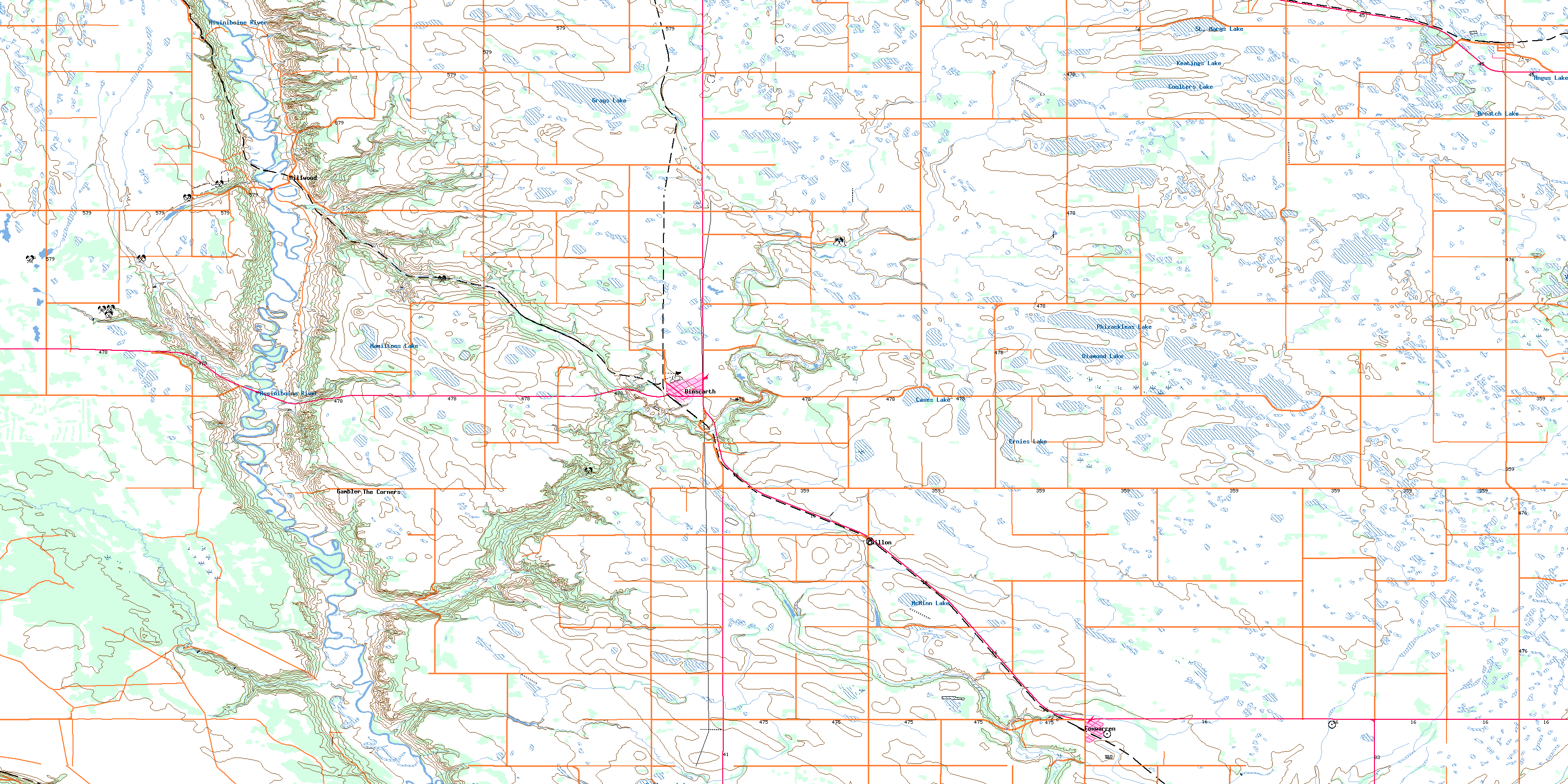
© Department of Natural Resources Canada. All rights reserved.
