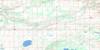
Sagemace Bay Topo Map Online
Download Free Topo Map Sheet 062N16 at 1:50,000 scale
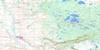
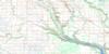
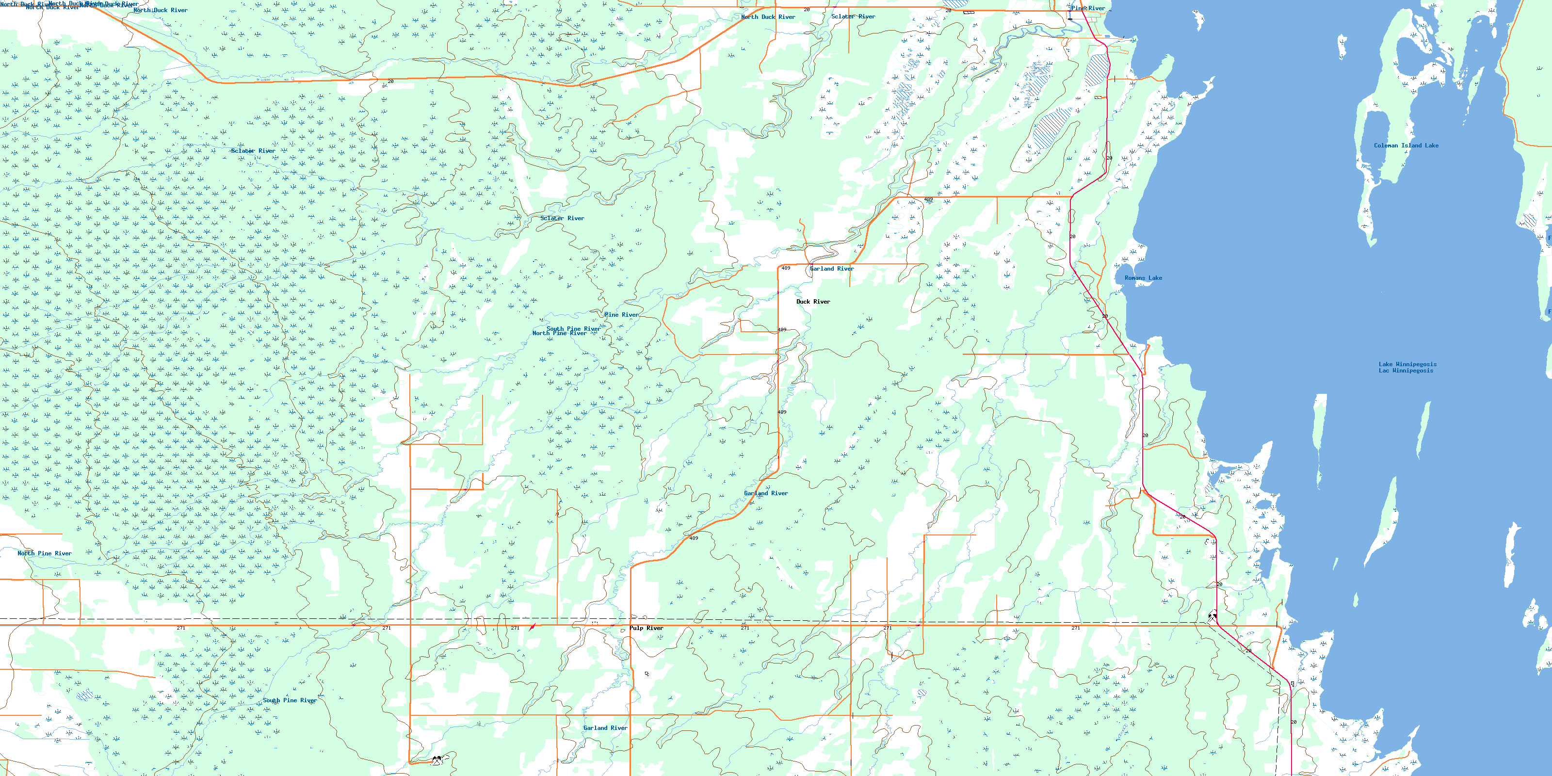
062N16 Sagemace Bay Topo Map
To view this map, mouse over the map preview on the right.
You can also download this topo map for free:
062N16 Sagemace Bay high-resolution topo map image.
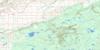
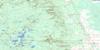
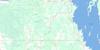
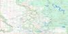
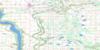
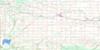
Maps for the Sagemace Bay topo map sheet 062N16 at 1:50,000 scale are also available in these versions:
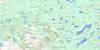
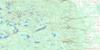
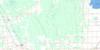
Sagemace Bay Surrounding Area Topo Maps
 |
 |
 |
 |
 |
 |
 |
 |
 |
 |
 |
 |
 |
 |
 |
 |
© Department of Natural Resources Canada. All rights reserved.
Sagemace Bay Gazetteer
The following places can be found on topographic map sheet 062N16 Sagemace Bay:
Sagemace Bay Topo Map: Bays
Bickels CoveBig Stone Bay
Big Stone Bay
Coleman Bay
Curve Bay
Sagemace Bay
Sagemace Bay Topo Map: Capes
Bonys PointCucumber Point
Elm Point
Flemings Point
Geekies Point
Gekies Point
Petes Point
Red Deer Point
Richards Point
Romans Point
Stanleys Point
Wellburns Point
Sagemace Bay Topo Map: Geographical areas
Pine Creek SettlementSagemace Bay Topo Map: Hydraulic construction
Pine River DrainWasyliuk Drain
Sagemace Bay Topo Map: Indian Reserves
Pine Creek 66ASagemace Bay Topo Map: Islands
Bouchers IslandCamping Island
Coleman Island
Duck Island
Long Island
South Island
Spruce Island
Sugar Island
Sagemace Bay Topo Map: Lakes
Camperville PondColeman Island Lake
Freshwater Lake
Lac Winnipegosis
Lake Winnipegosis
Romans Lake
Ruby Lake
Sagemace Bay Topo Map: Other municipal/district area - miscellaneous
Mossey RiverMountain
Sagemace Bay Topo Map: Conservation areas
Red Deer Point Game Bird RefugeSwan-Pelican Provincial Forest
Sagemace Bay Topo Map: Rivers
Bickels CreekBig Stone Creek
Bonys Creek
Brelinski Creek
Flemings Creek
Garland River
North Duck River
North Pine River
Pine River
Pine River
Point River
Sclater River
South Pine River
Wellburns Creek
Sagemace Bay Topo Map: Unincorporated areas
CampervilleDuck River
Pulp River
© Department of Natural Resources Canada. All rights reserved.
