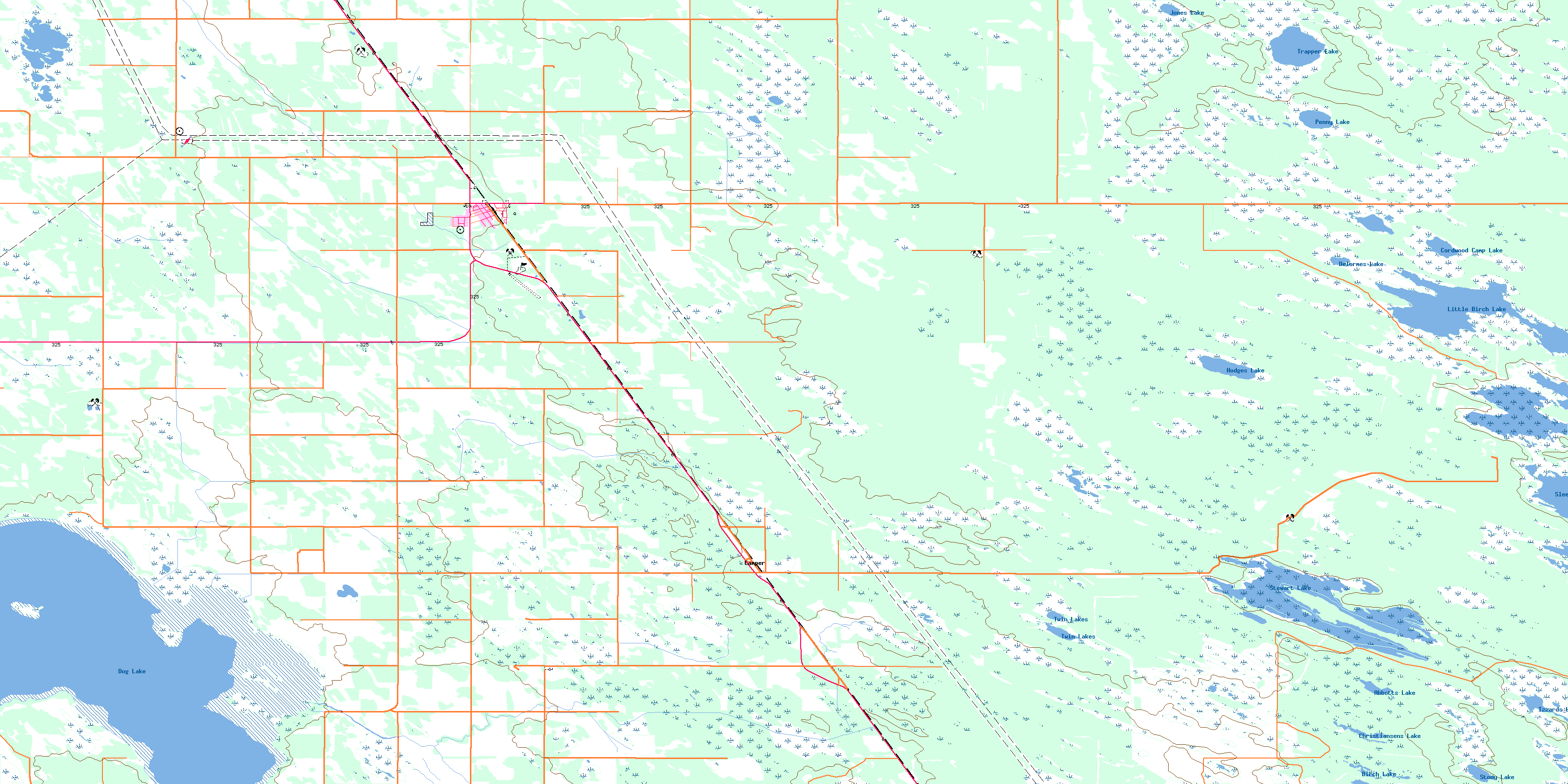
Ashern Topo Map Online
Download Free Topo Map Sheet 062O01 at 1:50,000 scale
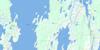
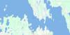
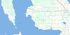
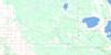
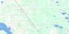
062O01 Ashern Topo Map
To view this map, mouse over the map preview on the right.
You can also download this topo map for free:
062O01 Ashern high-resolution topo map image.
Maps for the Ashern topo map sheet 062O01 at 1:50,000 scale are also available in these versions:
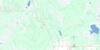
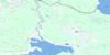
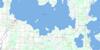
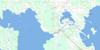
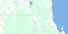
Ashern Surrounding Area Topo Maps
 |
 |
 |
 |
 |
 |
 |
 |
 |
 |
 |
 |
 |
 |
 |
 |
© Department of Natural Resources Canada. All rights reserved.
Ashern Gazetteer
The following places can be found on topographic map sheet 062O01 Ashern:
Ashern Topo Map: Bays
High Sand BayAshern Topo Map: Hydraulic construction
Ashern DrainCamper Drain
Ditchfield Drain
Little Dog Lake Drain
Marne Drain
Pioneer Drain
Ashern Topo Map: Lakes
Abbotts LakeBig Rock Lake
Birch Lake
Christiansens Lake
Cordwood Camp Lake
Delormes Lake
Dog Lake
Eirikssons Lake
Hodges Lake
Izzards Lake
Jones Lake
Kalevala Lakes
Kalevala Lakes
Little Birch Lake
McDougalls Lake
Penny Lake
Sleeve Lake
Stewart Lake
Stony Lake
Trapper Lake
Twin Lakes
Ashern Topo Map: Other municipal/district area - miscellaneous
GrahamdaleSiglunes
Ashern Topo Map: Conservation areas
Dog Lake Islands Game Bird RefugeDog Lake Wildlife Management Area
Little Birch Wildlife Management Area
Mantagao Lake Wildlife Management Area
Sleeve Lake Game Bird Refuge
Sleeve Lake Wildlife Management Area
Ashern Topo Map: Rivers
Little Dog CreekAshern Topo Map: Unincorporated areas
AshernCamper
Stewart Lake
Zant
Ashern Topo Map: Low vegetation
Czejkowsky MarshMcDougalls Marsh
© Department of Natural Resources Canada. All rights reserved.
062O Related Maps:
062O Dauphin Lake062O01 Ashern
062O02 Ebb And Flow Lake
062O03 Lonely Lake
062O04 Ochre River
062O05 Rorketon
062O06 Cayer
062O07 Steep Rock
062O08 Moosehorn
062O09 Lake St Martin
062O10 Fairford
062O11 Crane Bay
062O12 Winnipegosis
062O13 Skownan
062O14 Proulx Lake
062O15 Gypsumville
062O16 Dauphin River
