Armit Lake Topo Map Online
Download Free Topo Map Sheet 063C12 at 1:50,000 scale
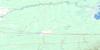
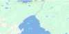
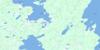
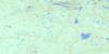
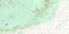
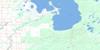
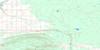
063C12 Armit Lake Topo Map
To view this map, mouse over the map preview on the right.
You can also download this topo map for free:
063C12 Armit Lake high-resolution topo map image.
Maps for the Armit Lake topo map sheet 063C12 at 1:50,000 scale are also available in these versions:
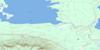
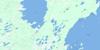
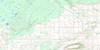
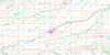
Armit Lake Surrounding Area Topo Maps
 |
 |
 |
 |
 |
 |
 |
 |
 |
 |
 |
 |
 |
 |
 |
 |
© Department of Natural Resources Canada. All rights reserved.
Armit Lake Gazetteer
The following places can be found on topographic map sheet 063C12 Armit Lake:
Armit Lake Topo Map: Islands
Jim Wright IslandArmit Lake Topo Map: Lakes
Armit LakeArmit Lake
Bachelor Lake
Camp Lake
Cat Lake
Dog Lake
Fishing Lake
Float Island Lake
Halliday Lake
Isbister Lake
Island Lake
Johnson Lake
Killian Lake
Little Armit Lake
McDonald Lake
McSherry Lake
Midnight Lake
Mirror Lake
Muskeg Lake
Quill Lake
Rutledge Lake
Spirit Lake
Armit Lake Topo Map: Mountains
Brockelbank HillPorcupine Hills
Porcupine Hills
Spirit Mountain
Armit Lake Topo Map: Other municipal/district area - miscellaneous
Hudson Bay No. 394Armit Lake Topo Map: Conservation areas
Brockelbank Hill Protected AreaPorcupine Provincial Forest
Porcupine Provincial Forest
Woody Lake Game Preserve
Woody River Recreation Site
Armit Lake Topo Map: Provinces
ManitobaArmit Lake Topo Map: Rivers
Armit RiverArmit River
Camp Seven Creek
Dilworth Creek
Fishing Lake Creek
Geize Creek
Island Creek
Johnson Creek
Kinakin Creek
Little Armit River
Little Woody River
Midnight Creek
Nelson Creek
North Armit River
Smoking Tent Creek
Stewart Creek
Ward Creek
Armit Lake Topo Map: Valleys
Armit River Canyon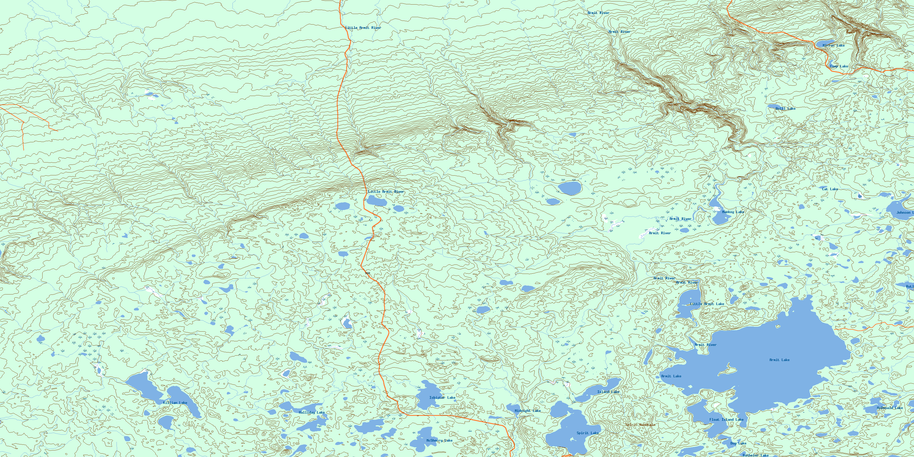
© Department of Natural Resources Canada. All rights reserved.
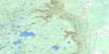
063C Related Maps:
063C Swan Lake063C01 Duck Bay
063C02 Renwer
063C03 Swan River
063C04 Thunder Hill
063C05 Townsend Lake
063C06 Birch River
063C07 Lenswood
063C08 Magnolia Lake
063C09 Kircro Lake
063C10 Pelican Rapids
063C11 Mafeking
063C12 Armit Lake
063C13 Roscoe
063C14 Barrows
063C15 Dawson Bay
063C16 Pelican Bay
