Southend Topo Map Online
Download Free Topo Map Sheet 064D06 at 1:50,000 scale
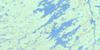
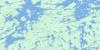
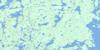
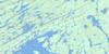
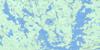
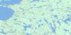
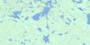
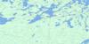
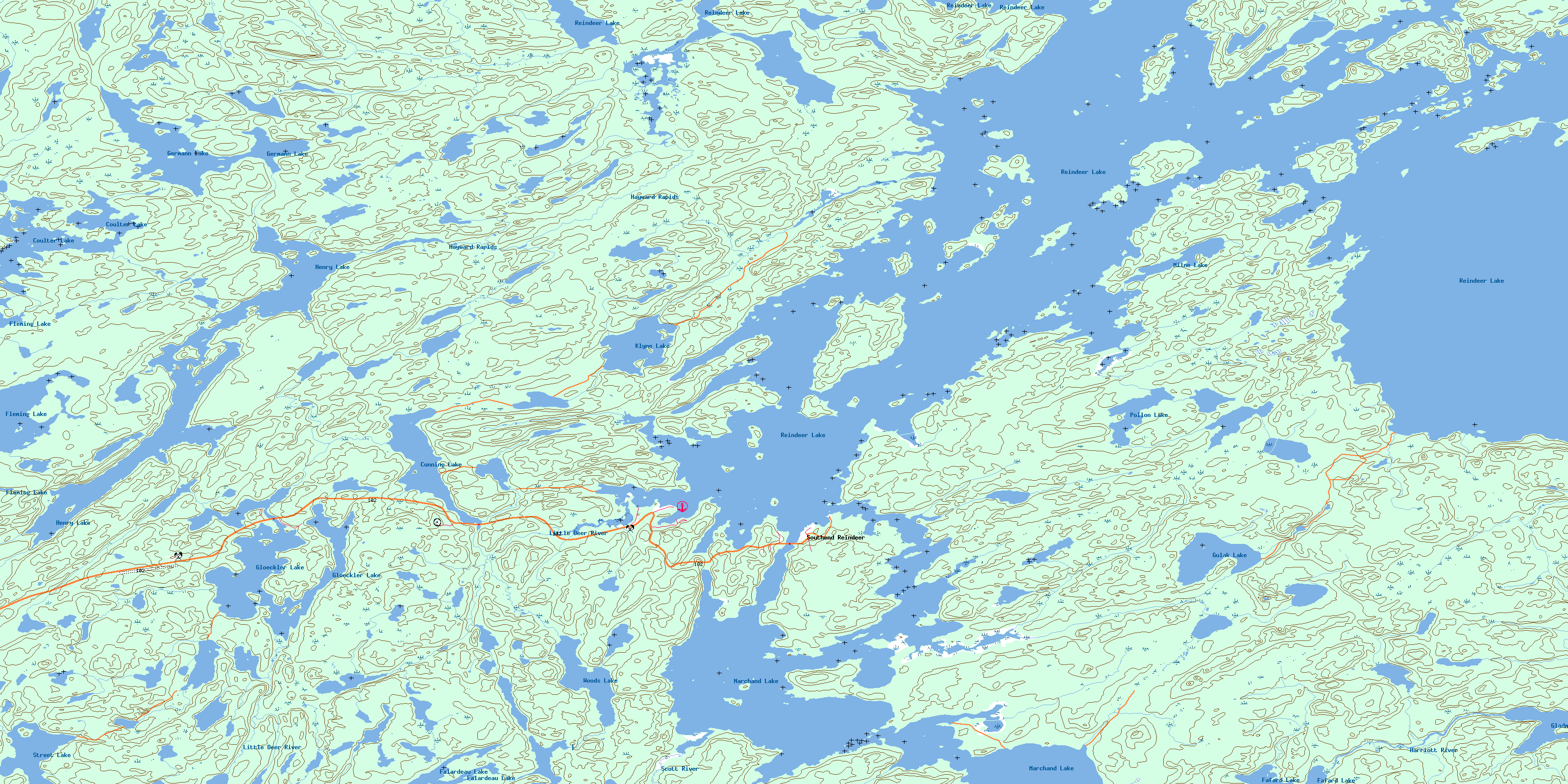
064D06 Southend Topo Map
To view this map, mouse over the map preview on the right.
You can also download this topo map for free:
064D06 Southend high-resolution topo map image.
Maps for the Southend topo map sheet 064D06 at 1:50,000 scale are also available in these versions:
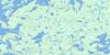
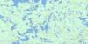
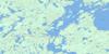
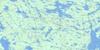
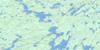
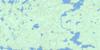
Southend Surrounding Area Topo Maps
 |
 |
 |
 |
 |
 |
 |
 |
 |
 |
 |
 |
 |
 |
 |
 |
© Department of Natural Resources Canada. All rights reserved.
Southend Gazetteer
The following places can be found on topographic map sheet 064D06 Southend:
Southend Topo Map: Bays
Deep BayNoble Bay
Numabin Bay
Shepherd Bay
Stackhouse Bay
Timew Bay
Southend Topo Map: Capes
Birch PointSouthend Topo Map: Hamlets
SouthendSouthend Reindeer
Southend Topo Map: Indian Reserves
Mistahi Wasahk 209Southend 200
Southend 200A
Southend Topo Map: Islands
Big IslandGraham Island
Graham Islands
Pearson Island
Pearson Islands
Sandford Island
Westlake Island
Southend Topo Map: Lakes
Coulter LakeCunning Lake
Fafard Lake
Falardeau Lake
Fleming Lake
Germann Lake
Gladman Lake
Gloeckler Lake
Gulak Lake
Henry Lake
Kerr Lake
Klyne Lake
Marchand Lake
Milne Lake
Pollon Lake
Reindeer Lake
Street Lake
Woods Lake
Southend Topo Map: Conservation areas
Reindeer Lake (Norvil Olson) Recreation SiteSouthend Topo Map: Rapids
Hayward RapidsSouthend Topo Map: Rivers
Harriott RiverLittle Deer River
Scott River
Stratton Creek
© Department of Natural Resources Canada. All rights reserved.
064D Related Maps:
064D Numabin Bay064D01 Kamatsi Lake
064D02 Harriott Lake
064D03 Royal Lake
064D04 Lower Waddy Lake
064D05 May Lake
064D06 Southend
064D07 Finlayson Lake
064D08 Kyaska Lake
064D09 Bleasdell Lake
064D10 Milton Island
064D11 Ghana Lake
064D12 Macoun Lake
064D13 Wathaman Lake
064D14 Oliver Lake
064D15 Perry Lake
064D16 Amiskit Island
