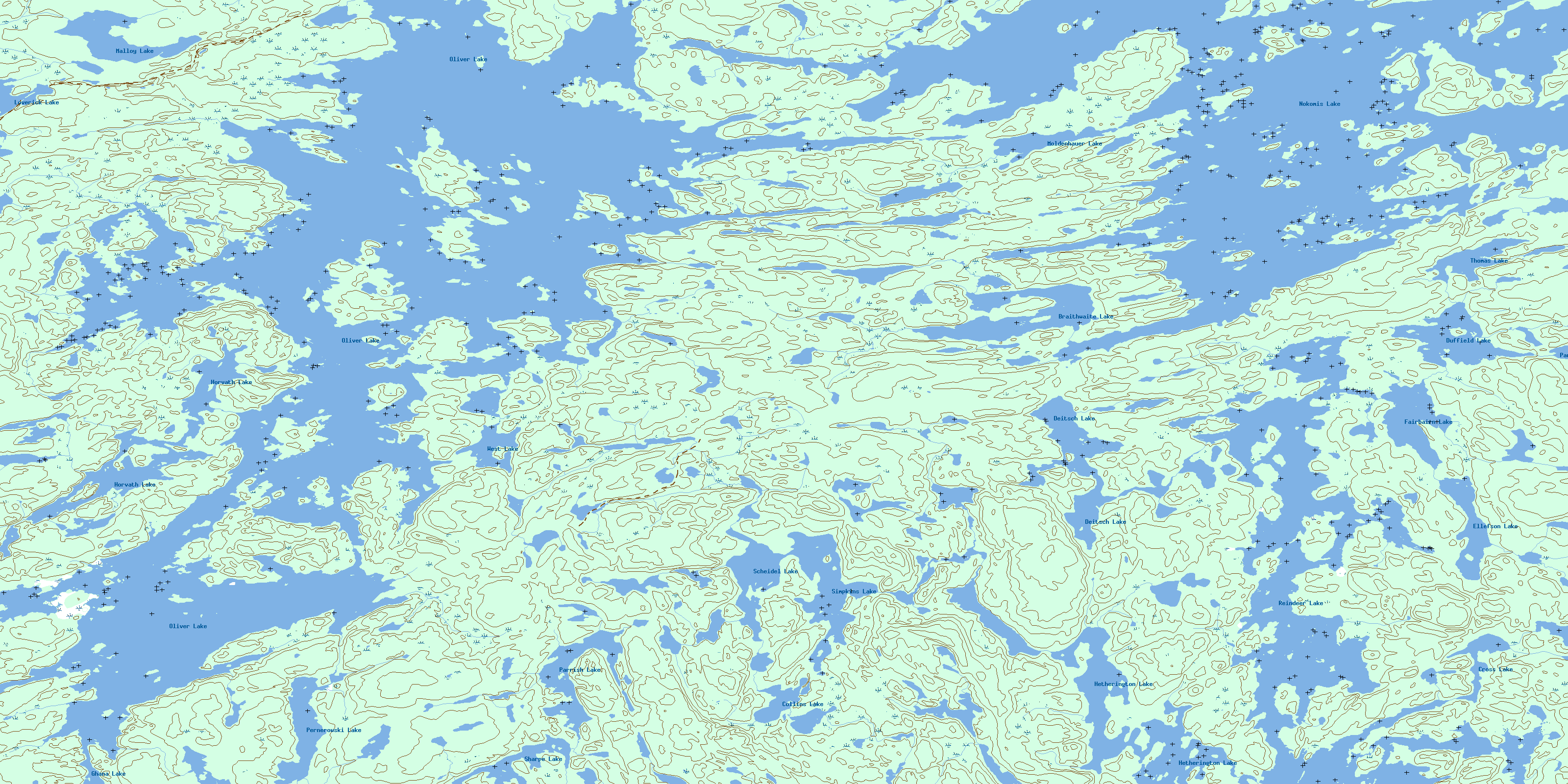
Oliver Lake Topo Map Online
Download Free Topo Map Sheet 064D14 at 1:50,000 scale
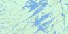
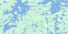
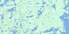
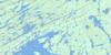
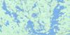
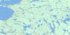
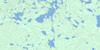
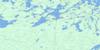
064D14 Oliver Lake Topo Map
To view this map, mouse over the map preview on the right.
You can also download this topo map for free:
064D14 Oliver Lake high-resolution topo map image.
Maps for the Oliver Lake topo map sheet 064D14 at 1:50,000 scale are also available in these versions:
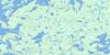
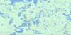
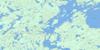
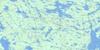
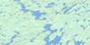
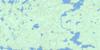
Oliver Lake Surrounding Area Topo Maps
 |
 |
 |
 |
 |
 |
 |
 |
 |
 |
 |
 |
 |
 |
 |
 |
© Department of Natural Resources Canada. All rights reserved.
Oliver Lake Gazetteer
The following places can be found on topographic map sheet 064D14 Oliver Lake:
Oliver Lake Topo Map: Bays
Cross BayDanielson Bay
Elliott Bay
Ellis Bay
Fleming Bay
Gillespie Bay
Griffiths Bay
Hopkins Bay
Hughes Bay
Johnson Bay
Larson Bay
MacEachern Bay
McDougall Bay
Meyers Bay
Nicholson Bay
Numabin Bay
Paul Bay
Ryan Bay
Sanderson Bay
Steele Bay
White Bay
Oliver Lake Topo Map: Capes
Hartwell PeninsulaJohnson Peninsula
Oliver Lake Topo Map: Islands
Baptiste IslandBelanger Island
Clark Island
Eichler Island
Harrison Island
McKay Island
Meyers Island
Perron Island
Welsh Island
Wilson Island
Oliver Lake Topo Map: Lakes
Braithwaite LakeCollins Lake
Cross Lake
Deitsch Lake
Duffield Lake
Ellefson Lake
Fairbairn Lake
Ghana Lake
Hetherington Lake
Horvath Lake
Loverick Lake
Malloy Lake
Moldenhauer Lake
Nokomis Lake
Oliver Lake
Parkunow Lake
Parrish Lake
Pernerowski Lake
Reindeer Lake
Scheidel Lake
Sharpe Lake
Simpkins Lake
Thomas Lake
West Lake
© Department of Natural Resources Canada. All rights reserved.
064D Related Maps:
064D Numabin Bay064D01 Kamatsi Lake
064D02 Harriott Lake
064D03 Royal Lake
064D04 Lower Waddy Lake
064D05 May Lake
064D06 Southend
064D07 Finlayson Lake
064D08 Kyaska Lake
064D09 Bleasdell Lake
064D10 Milton Island
064D11 Ghana Lake
064D12 Macoun Lake
064D13 Wathaman Lake
064D14 Oliver Lake
064D15 Perry Lake
064D16 Amiskit Island
