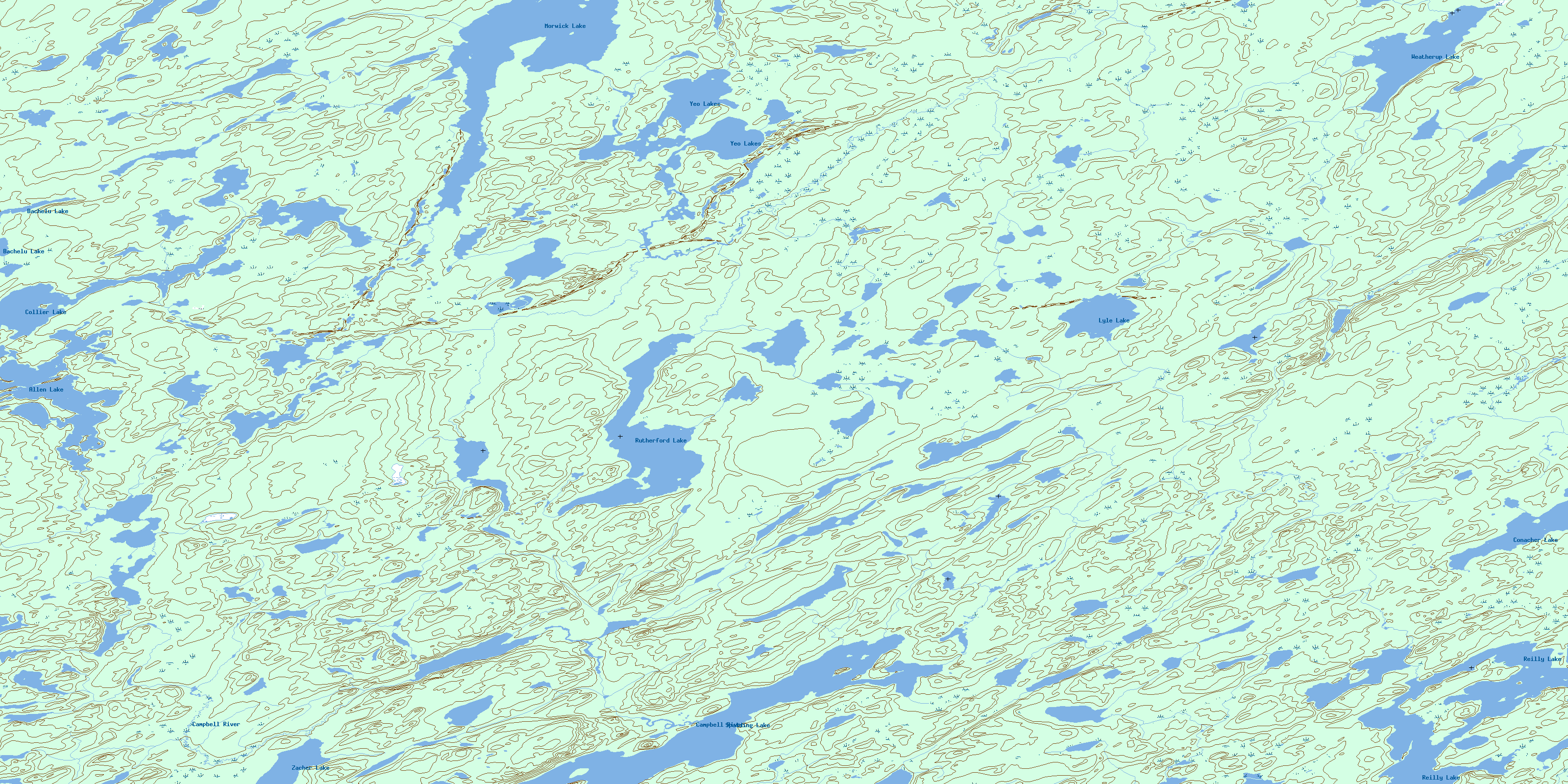
Rutherford Lake Topo Map Online
Download Free Topo Map Sheet 064E06 at 1:50,000 scale
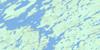
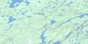
064E06 Rutherford Lake Topo Map
To view this map, mouse over the map preview on the right.
You can also download this topo map for free:
064E06 Rutherford Lake high-resolution topo map image.
Maps for the Rutherford Lake topo map sheet 064E06 at 1:50,000 scale are also available in these versions:
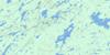
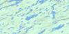
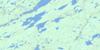
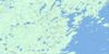
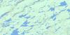
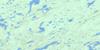
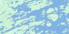
Rutherford Lake Surrounding Area Topo Maps
 |
 |
 |
 |
 |
 |
 |
 |
 |
 |
 |
 |
 |
 |
 |
 |
© Department of Natural Resources Canada. All rights reserved.
Rutherford Lake Gazetteer
The following places can be found on topographic map sheet 064E06 Rutherford Lake:
Rutherford Lake Topo Map: Islands
Craig IslandRutherford Lake Topo Map: Lakes
Allen LakeBachelu Lake
Collier Lake
Conacher Lake
Lyle Lake
Morwick Lake
Reilly Lake
Rutherford Lake
Spalding Lake
Weatherup Lake
Yeo Lake
Yeo Lakes
Zacher Lake
Rutherford Lake Topo Map: Rivers
Campbell RiverEttle Creek
Meshke Creek
Wathaman River
© Department of Natural Resources Canada. All rights reserved.
064E Related Maps:
064E Compulsion Bay064E01 Cheesman Island
064E02 Wepusko Bay
064E03 Reilly Lake
064E04 Robson Lake
064E05 Combe Lake
064E06 Rutherford Lake
064E07 Bedford Island
064E08 Beaver Island
064E09 Ballentin Island
064E10 Patterson Island
064E11 Cairns Lake
064E12 Morell Lake
064E13 Nekweaga Bay
064E14 Brandser Island
064E15 Reynolds Lake
064E16 Feaviour Peninsula
